Quantcast
Channel: Dallas Trinity Trails
Viewing all 113 articles
Browse latest View live

Great Trinity Forest and the Big Swamp

$
0
0
Sabal minor palms growing on the floor detritus of the Great Trinity Forest, Dallas Texas, June 7, 2014
The deepest part of the Great Trinity Forest lies here. One that is rarely if ever visited by humans. The lair of water moccasins, snakes hanging from trees, snorting feral hogs, spiders the size of your hand and chest high poison ivy. We were greeted by all of that fifty feet from the road. We had miles to explore beyond into the only known stand of palms growing in Dallas. A special and fragile place protected by impossible terrain and veiled secrecy on the location.

Master Naturalist Bill Holston moving through a shaft of early morning light in the otherwise dense and dark forest
 
Flash required to highlight the flowering stems of the palm

Dark. Even on the brightest of June mornings. The sun's rays strain to reach under the double dappled canopies of mature pecans, walnuts and oaks. The exceptional experience is one that would one would think to be found afar from Dallas. Maybe Big Thicket or swamps on the Sabine hold such caliginous and musky spots. No. It exists inside the city limits. Fitting that such a place holds the most biodiversity in the Great Trinity Forest. One of the more unique species found here, an outlier species that defies the status quo is the Sabal minor palm.

The Sabal minor, the Dwarf Palmetto, is an understory palm generally occurring in low-lying, swampy habitats. Sabal minor occurs from Southeastern Oklahoma and Texas eastward to Florida and North Carolina. It is a wetland species that thrives in swamps, floodplains and backwater regions of the southeast where the land is often inundated by prolonged periods of water.

Budding flowers on a Sabal minor, Great Trinity Forest, Dallas Texas, June 7, 2014
Three foot long flower stalks appear this time of year, covered with small, yellow-white, fragrant flowers  The flowers are followed by small berries that ripen August through October. The berries ripen from green to black on a branched cluster shorter than the leaves. Flowering and fruiting are not necessarily annual events, and some years see more abundant flowering than others. Even when flowering is abundant, fruit production is erratic; the causes are unknown.
Sean Fitzgerald works through the bright sun and very dark shadows which is uncommon in North Central Texas

Sabal Arecaceae constitutes sixteen species of palms that are distributed in the eastern woodlands and coastal plains of the Southeastern United States. Spanish explorers who landed on what is now the Gulf coasts of the United States immediately noticed the “palmito” or little palms growing everywhere. The “palmetto” name has since been applied in common names to these small palms.


Sabal minor dwarf palmetto or swamp palmetto has a solitary subterranean(underground) stem and rarely seen above ground in North Texas with 4–10 dark green leaves. It is thought that the trunks are subsurface to aid in protection from freezing cold weather and frozen conditions. Hardier than many palms, these plants have endured countless cold snaps and ice storms that few of their southern counterparts will ever experience. These plants made it through some of the coldest winter weather conditions that North Texas has experienced in many years. The cold weather of December 2013 sent temperatures in Dallas into the near single digits for days. Cold hardy and the ability to thrive in extremes make the plants here a special and unique colony.

Biologist Scott Hudson and Photographer Sean Fitzgerald checking out feral hog damage in an ephemeral section of swamp, dried after recent rains in May


A mushroom growing up through a decayed pecan limb on the forest floor

Honeybee hive in a Bois d' Arc tree
Years of fallen leaf litter, branches and storm debris cover the ground in this area. This type of wet and dark environment provides the ideal conditions for fungus species to thrive on the slowly decaying material.

A number of larger trees here have voids in them. Seen at left, a large honey bee colony has built a hive about 8 feet up in a cavity of a Bois d' Arc tree. Many Bois 'd Arc trees exist in this area. Tough and resistant to nearly all diseases, they can live centuries in the riverbottoms under ideal conditions. These trees prefer a slightly higher elevation just out of the immediate floodplain on slightly drier ground.

Red bellied woodpecker in a cedar elm
Other species of trees found in this area include pioneer species like ash and cedar elm.


The Red-bellied Woodpecker is a familiar year round resident of forests in the eastern half the United States  It is a bird of densely wooded lowlands and bottomlands, open forests and swamps. It too uses the voids and cavities of trees. The bee hive and the woodpecker seen in the photos here were taken within 100 feet of one another.


Engaging the formal swamp
Acres and acres of snake filled swamp that we slogged though
Ankle deep water in the flooded sedge, acres of it
The goal for this hike was to push through the Sabal minor groves, ash bottom and pockets of heavy ragweed to reach the immense and large water bodies we hope will hold tropical wading birds later in the summer.

Lots of over banking events this spring have created ideal aquatic habitat and food for wading birds, snakes and frogs. Getting there requires wading through flooded aquatic grasses that are prime habitat for water moccasins and alligators. Called sedge, this aquatic grass in the lifeblood of environments like this.

Black Crowned Night Heron in a pocket pool surrounded by sedge

In Texas, there are over 100 species of sedges and they are difficult to identify without using detailed botanical indexes. In general, sedges are perennial plants that resemble grass, grow in shallow water or damp soils, and can reach 3-4 feet in height. Sedges often grow in thick clusters called tussocks.

Submerged portions of all aquatic plants provide habitats for many micro and macro invertebrates. These invertebrates in turn are used as food by fish and other wildlife species (e.g. amphibians, reptiles, ducks, etc.). After aquatic plants die, their decomposition by bacteria and fungi provides food for many aquatic invertebrates. Sedges are considered good wildlife plants. Sedges are grazed by muskrats, nutria, and rabbits, while the seeds are consumed by waterfowl and small birds.

Panorama of open water, Great Trinity Forest
The sedge and willows break open into the bright brilliant light of a true swamp with beaver built islands, beaver slides, copses of willow studded islands and high tree canopies that line the water's edge for hundreds of yards.
A first look at a promising site for dispersal birds later in the summer. Left to right, Sean Fitzgerald, Bill Holston, Scott Hudson. Scott with the field glasses is observing a Yellow Crowned Night Heron on the opposing shore
Tri-colored Heron with a sunfish
There is a certain recipe for attracting wading birds to bodies of water. The ideal conditions are lots of food, shallow water, good cover and a secluded environment from predators. This unnamed body of water meets all those criteria and more.

Great Egret in breeding plumage, note the neon green around the nose
The difficult wading hike to make it here for a human is actually a great asset to one wanting to observe wildlife. Other bodies of water similar to this like Lemmon Lake in Joppa Preserve, require a long slow belly crawl across grass to reach the shoreline. Here, at this location, the dense treeline all but obscures a person for wildlife viewing up close.
Checking out the water depth and making mental field notes
High quality habitat like this is very rare in Dallas. It attracts birds seldom seem in other places in town. The area acts as an incubator for many animal species to raise their young, it was clearly evident that birds, especially the Yellow Crowned Night Heron had a nearby rookery.
Yellow Crowned Night Heron
Rough Green Snake in an Oak
Rough green snakes are typically found on forest edges near ponds or lakes. Although they are arboreal snakes, they forage in dense vegetation along pond and lake shorelines during the day. Nights are spent coiled in the branches of trees. Rough green snakes choose perches based on distance from water sources, height in branches, and thickness of the branch.


Some Birds Of The Swamp
Tri-colored Heron, Snowy Egret and White Ibis, Great Trinity Forest, June 7, 2014
Three birds featured above, all wading birds of near similar size and height with all very different methods of catching prey.

Perhaps a decade ago, the sight of a White Ibis was a rare occurrence in Dallas. Same with the Tri-Colored Herons who, even today still exist on ornithological range maps as birds of the Gulf estuaries and Louisiana swamps.


White Ibis foraging for food
This spot is so remote and so unexpected to have humans visit that we were able to spend a long length of time inside the shade of the trees observing not only the feeding habits of these birds but watching many of the birds fly directly over our heads and land directly in front of us, 20-30 feet away.

Snowy Egret
When foraging, the Snowy Egret walks upright with the neck slightly arched, and it flies strongly with deep wing beats, the yellow feet visibly trailing behind the body. It is an extremely vocal heron, particularly during aggressive encounters, when a characteristic “rah” call is emitted.The Snowy Egret will often shake their legs and feet, agitating the water and mud to stir up prey underneath.

Snowy Egret prowling for prey

Juvenile Little Blue Heron
The snowy egret is often confused with the juvenile Little Blue Heron (Egretta caerulea), but may be distinguished by the pure white tips on the wing feathers, the solid black bill and the bright yellow feet, which give the impression that the bird is wearing gloves.

Green Heron
The Green Heron is sometimes called the Green-Backed Heron. It is a smallish heron that is about the size of a large crow. It is a foot and a half to two feet in length. The Green Heron has a dark head with a small black crest. Its back and wings are dark gray-green to dark gray-blue. Its neck is rust colored. It has a dark bill and its legs are orange or yellow. Elusive little birds that are very hard to photograph in flight.


Yellow Crowned Night Heron

The Yellow-Crowned Night Heron is a migratory bird that resides here along the Trinity River in Texas  Unlike other night heron species, the yellow-crowned forages both late in the day and night. It forages much like other herons by wading through water waiting for its prey to come within striking distance. Also, unlike the great heron which many have seen standing motionless like a statue in many Texas waters, the yellow-crowned will stir up its quarry by wading briskly at the waters edge. With a quick dancing motion, the dagger like bill stabs its prey.  The prey of a Yellow-Crowned Night Heron normally consists of fish, frogs, grasshoppers, and occasionally snakes, but its primary diet is crustaceans.

Juvenile Yellow Crowned Night Heron on the branch of a willow

Tri-colored Heron
The Tri-colored Heron's signature movements, aesthetic features and picturesque plumage draw it apart from the other birds. The Tri-colored Heron's color is a slate blue/dark blue gray color. It has light greenish/yellowish legs and the color on the beak matches its legs. It also has a white stripe on its purple neck. The heron's white belly gives it its unique identity. It is named the Tricolored Heron because of these three different shades.

It is the only dark colored bird with a white underbelly in the heron family. The Tri-colored Heron usually measures a little over two feet in length and has a little over three foot wingspan.

White Ibis

Because they require shallow water for feeding, many white ibises are found in coastal, aquatic environments such as ponds and lakes or inland wetlands. White Ibises are primarily found in southern coastal regions of the Gulf states and during the summer and move inland after the breeding and nesting seasons. Called "dispersal", the wading birds head inland from the coast in search of slowly drying ponds and beds. Because water depth is of the upmost importance for their feeding and reproductive behaviors, White Ibises may shift locations due to the rise and fall of water levels.

White Ibis in the Great Trinity Forest June 7, 2014

Scissor-tailed Flycatchers and Kingbirds In Texas Trinity River Corridor

$
0
0
Texas Bird of Paradise, the Scissor Tailed Flycatcher perched on an Arkansas Yucca surrounded by Prairie Coneflower and other native wildflowers in Dallas, Texas

The strong southerly winds of a Texas spring bring more than humidity up from the Gulf of Mexico. Riding the air currents north from as far away as the tropical rainforests of Central and South America are the flycatchers of the bird world.

The dripping wet blossoms of an native Arkansas Yucca just after an spring thunderstorm at McCommas Bluff Preserve, Dallas Texas, Spring 2014
Scissor-tailed Flycatcher at the Mockingbird-Westmoreland Bridge in the Trinity River Floodway, Dallas, Texas. Downtown Dallas and Victory Park can be seen in the distance
The flycatchers are fond of the open spaces and fence lines of the Trinity River. In the late Spring, June to be precise, the birds move into Dallas in great numbers setting up shop among high insect populations that dominate the fields here. The three most dominant species seen are the Scissor-Tailed Flycatcher, the Eastern Kingbird and Western Kingbird. The Trinity River Corridor serves as a great overlap for the Kingbird species with near equal amounts of both Eastern and Western species.

Scissor-Tailed Flycatcher Tyrannus forficatus
The Scissor-Tailed Flycatcher Tyrannus forficatus is known by other names as well... Scissortail, Texas Bird-of-Paradise and Swallow-Tailed Flycatcher.


From the appearance, it is obvious how the bird acquired its common names, but its former Latin name - Muscivora forficata, describes the bird in even grander terms. Muscivora derives from the Latin word for "fly" (musca) and "to devour" (vorare), while Forficata comes from forfex, or scissors. The scissortail now is a member of the genus Tyrannus, or "tyrant-like flycatchers."

Strong willed and fearless, the best comparison one can make to such a bird is the familiar Mockingbird who also readily defends territory, nest sites and has a qualification for fighting dirty. 


Scissor-Tailed Flycatcher perched high above an endless meadow of coneflowers near Piedmont Ridge Trail in the Great Trinity Forest
Scissor-Tailed Flycatchers hunt by sight and by ambush. Many see Scissortails lining barbed wire fences, telephone lines or even road signs. Those artificial perches afford great over watch of a field.

The photos here were taken entirely in wildscape. Meadows, fields and treelines along the Trinity River and in East/Southeast Dallas along lower White Rock Creek in an area called the Great Trinity Forest.
So many know White Rock Creek as it moves through North Dallas but so few ever see it beyond the outfall of the White Rock Lake Spillway where the creek slows, the trees get larger and the scenery much more photogenic.
A good look at a departing Texas Bird of Paradise, the Scissor-Tailed Flycatcher in full breeding plumage


Scissor-Tailed Flycatcher Attack Sequence On a Red-Tailed Hawk

Scissor-Tailed Flycatcher moves in on a trespassing Red Tailed Hawk
In some areas like the Trinity River Floodway, perches and tree cover for nesting sites are scarce. This is an area between the levees near the Industrial District and Downtown where lone Cottonwood and Pecan trees dot the landscape. They are the usual haunts of resident Red Tailed Hawks year round. When flycatchers come in to nest, there will be many nests in one tree as habitat is a premium. That leads to conflict and dramatic attacks result.


Red Tailed Hawks will actually prey on nests of other species. Documented cases of nestlings being eaten by hawks are well known. The Scissortail goes the extra mile to make a point with the Red Tailed Hawk in this photo, delivering what appears to be a quite painful strike to the back of the hawk's neck.
Contact with the hawk, the Scissortail is riding the hawk like a winged horse


The hawk screams in pain and maybe disbelief as the plucky Scissortail unleashes an aerial assault. Note the long Scissortail on the back of the hawk


Splash one hawk. The Scissortail returns to his nest.


This genus earned its name because several species are extremely aggressive on their breeding territories, where they will attack larger birds such as crows, hawks and even owls. Beautiful and ounce for ounce some of the heaviest hitters among Texas birds.


Rarely documented mirroring mating dance behavior of Scissor-tailed Flycatchers

Scissor-tailed flycatchers are easily identified by their long, scissor-like tail, which may reach nine inches in length. During flight, the bird opens and shuts its taillike a pair of scissors and folds or closes the "scissors" when perching. Since the bird is only 12 inches long, its tail is proportionately longer than any other Texas bird including Roadrunners.

The signature call of the Scissortail

Scissor-tailed flycatchers are considered Neotropical migrants birds that spend their winters in Central and South America, returning to North America to nest and raise young.

As a rule, scissortails are seen in Texas from early April to late October, though individuals occasionally are seen during the last week of March and some birds linger until mid-November.

Most likely their residency in Texas is tied to the first killing frosts of the Fall, which diminishes food supplies for the birds.
The scissortail is one of the earliest summer birds to arrive each spring. Across most of the Trinity River Corridor, Dallasites can begin looking for them during the first week in April. Their limited nesting range is primarily concentrated in the southern Great Plains states, from New Mexico to Louisiana and Nebraska southward to southern Texas and adjoining areas of Northern Mexico. However, the birds have wandered and documented as far north as Hudson Bay in Canada.
The brilliant colors of a Scissortail in near perfect light of a Texas sunset

The nape of the scissortail's neck and back are pearl gray, and the breast is white. Wings are smoke coal black with a touch of crimson at the shoulders while the sides and wing linings are pink. Females usually are shorter than males because her tail is not as long.

Breeding pair of Scissortail Flycatchers riding the stiff wind currents on the evening of June 16, 2014


A Scissortail bounds of the perch of a yucca to attack an unsuspecting insect below


Scissor-Tailed Flycatcher nest with four nestlings, June 13, 2014
The nesting habits for the Scissor-tailed Flycatcher include a small diamter stick nest lined with soft fiber material in an isolated tree where three to five eggs are laid. The female builds the nest and the male often adds the fiber material during the building process.
A Walking Stick becomes dinner for a Scissor-tailed Flycatcher nestling
Both parents work all day long to feed the nestlings. Moths, butterflies, June Bugs, grasshoppers and even Walking Sticks are standard table fare at these nests. 2014 seems to be a particularly banner year for these insects. Walking Sticks consume the foliage of oaks and other hardwoods. Severe outbreaks of the walking stick, Diapheromera femorata, have been documented in the Ouachita Mountains of Arkansas and Oklahoma. The insects eat the entire leaf blade. In the event of heavy outbreaks, entire stands of trees can be completely ravaged. Continuous defoliation over several years often results in the death of the tree. Birds like flycatchers help control the population of these insects.
Adult flycatcher removing waste from the nest site


Arkansas Yucca Yucca arkansana-- Photogenic Perch For Flycatchers

Native Yucca  in the brilliant sunset light growing on the bluff tops of the Trinity Forest
As a rule we think of Yucca as desert fare, but it is a common Texas plant often seen in undisturbed areas along the bluff tops of the Trinity River and White Rock Escarpment running through the Great Trinity Forest.

One  of the smallest yucca in Texas, Arkansas Yucca ranges from South Central to North Central Texas, into Oklahoma and Arkansas, preferring chalky pan soil on rocky hillsides and prairies. It has asymmetrical rosettes in small open groups.

Like most yucca, the leaves are bluish-green to yellowish-green with white margins and curly threads on the margin.

As is, the "stem" of the yucca looks woody (it has to be strong to support that mass of blooms.) Dead yucca leave a strong supporting "stick" for lack of a better term.  These particular groupings stand tall above the wildflowers, from 3 to 4 feet standard. 

There are over two dozen US species of these plants, much more widely distributed than agave, ranging across the Midwest, Great Plains and all the eastern states in addition to the south, in mixed environments including deserts, grassland, mountains and coastal scrub.

Yucca also extend through Mexico towards Central America. All species have the capability to grow tall and branch, though in some arid locations this does not happen, and the plants remain compact and single. Flowers are white and bell-shaped, growing in a great mass on a shortish stalk; they are usually produced once a year though may not appear if weather conditions are unfavorable.

Eastern Kingbird Tyrannus tyrannus
Eastern Kingbird Tyrannus tyrannus as seen hunting for insects among a grouping of wild Prairie Coneflower along a limestone escarpment along Lower White Rock Creek, Dallas Texas, 2014
The dressed to kill flycatcher of the Great Trinity Forest accolades go to that of the Eastern Kingbird Tyrannus tyrannus. A bird dressed in a tuxedo with fine lines and a descriptive ability to crush any and all insects that venture near.

The kingbird is easy to identify from other flycatchers with its contrasting black back and white chest, giving it the appearance of wearing formal dinner attire.  The black tail is tipped in white, making it easily recognizable. 

Black and white is not really the norm for flycatchers and songbirds. The Eastern Kingbird is unique in this way. Reds and yellows are more common.  But for what he lacks in color and song, he compensates for nicely in presentation and style.

An Eastern Kingbird weighs down an already blossom laden and top heavy Arkansas Yucca
Eastern kingbirds are flycatchers, which is considered the largest family of birds on Earth, with over 400 species.  The Eastern Kingbird exhibits that classic flycatcher silhouette, complete with the slight crown or ruffled head that is common among other flycatchers such as phoebes, wood pewees and so on.

Caught in mid air, an Eastern Kingbird hovers like a hawk in an effective technique to spook insects out of a hiding spot

Eastern Kingbirds also exhibit typical flycatcher behavior, called sallying, where they fly out from a perch in pursuit of flying insects, and then often returning back to the same perch (also called hawking). 

They feed mainly on insects during breeding season, but oddly enough, during migration and on their wintering grounds in South America, kingbirds change personalities and behave almost docile,  flying around in flocks, feeding on mainly fruit.
While as large as a Mockingbird and with similar colors, the Eastern Kingbird has a more robust and stockier build

Western Kingbird Tyrannus verticalis
One of the most common birds to spot in the Great Trinity Forest in spring are the hearty Western Kingbirds Tyrannus verticalis. From prairie areas of the Lower Chain of Wetlands to the deep swamps of Rochester Parks, these birds are visible at every turn from dawn to dusk.

Before the pioneer settlement of the Southern Plains the Western Kingbird range undoubtedly was restricted by the lack of advantageous perches in otherwise prime open country habitat.  Its range in Texas in the early 1900s was the western part of the state encompassing  the Panhandle, southern plains, and the mountains west and south of the Pecos River Valley.


Since the early 20th century, man’s opening of woodlands for timber harvest/farming, planting of trees on the plains, and construction of power lines, and other structures which accompanied settlement have facilitated expansion of Western Kingbird breeding range.

Nesting had spread by the mid 20th century east to Austin and by the late 1960s to the upper Texas coast.  By the early 1970s they were nesting in the Dallas Fort Worth area.
Western Kingbirds migrate from Central America to breed across the western United States during the spring and summer months--about April through the end of August/early September.

They leave their breeding grounds relatively early and are generally not seen in the western states from about mid-September through early May. They tend to be viewed around farms, meadows, and along fence rows near dry open fields with scattered trees and brush.


Western Kingbirds are members of the flycatcher family and are often seen hunting insects from fences and small bushes and trees along roadsides. They are about 9 inches long with a wingspan of about 16 inches. They have gray heads and chests, thick dark bills, yellow bellies, and dark tails with white edges. They can be aggressive and often harass large raptors

Western Kingbirds on guard


Just like Scissortailed Flycatchers, the Western Kingbird readily defends nest sites, habitat and favored trees from any predator or competing bird species. The telltale flash of yellow as the beat through the high grass is an easy way to spot these birds which very much resemble the Eastern Kingbirds, a distant cousin.


Big Spring In The Snow -- Dallas Great Trinity Forest

$
0
0
The Great Trinity Forest blanketed by snow, the warmth of Big Spring protects the plants from the bitter cold
The rarity of a blanketing snow event in Dallas transforms the fields and woods of the Great Trinity Forest into a site few see. Getting here, across the roads, bridges and freeways is a journey unto itself. The reward is a snow muffled trip of such profound beauty that the photos taken in such places do it very little justice.

The pale colors of the land here will soon explode with color in under ninety days with chest high wildflowers and birds of every shape and color building nests to rear young. For today, it is a entombed winterscape of ice and snow, frigid temperatures in the teens and wind chills far below that. Except for one place the iconic Big Spring.


This winter, as cold as it might be, is no match for the ever flowing ancient waters that flow here. The water flowing here as it hits the air is near 70 degrees, water that has been dated back to the 13th century with radiocarbon testing in 2013. The cold cannot take hold in the waters of Big Spring. Surrounded by the muted browns and beiges of dead and dormant vegetation, the micro-climate of Big Spring harbors green plant life and animal life even through multiple days of below freezing temperatures.

There are three vents, head sources as some call it of Big Spring. The water at different times, flows strongest from any one of the three, running across ice age gravels cemented together by countless years of the mineralized water coursing through the strata. The spring seems to come alive on days like this when you can watch the warm air of the spring hit that of the atmosphere. The spring breathes a steam you can really only see in person.
The mighty Bur Oak
The ancient Bur Oak has stood at Big Spring longer than Dallas has been in existence. Tree experts who have seen the tree in person think it is very old, many centuries perhaps. How many snows, how much history and how many stories it could tell if it talked. A rather remarkable and historic tree it has been nominated by the Dallas Historic Tree Coalition as a historic tree. It will be bestowed the honor sometime in 2014.


Bird Life Around Big Spring In The Snow
Female cardinal
Male cardinal


Mockingbird

Eastern Phoebe


Ruby Crowned Kinglet


Ruby Crowned Kinglet


Birds seek out Big Spring and use it as an important water source when other watering holes are either frozen in the winter or dried up in the withering heat of the summer.

The cardinal couple seen above is a year round visitor to Big Spring, they are a frequent site here and nest in one of the nearby cedar trees.

Other birds such as the Eastern Phoebe use the warm winter waters of the spring not only as a drinking source but also as a source of food. Above, an Eastern Phoebe can be seen perched on a small stick protruding from the spring. Here it makes brief flights across the surface catching aquatic insects as they emerge from the spring. Even on the coldest of days, thanks to a constant year round water temperature in the upper 60s, aquatic insects hatch in great numbers. Other water bodies, the insects could not pull off such a feat.

The Ruby Crowned Kinglet is another visitor to Texas seen only in the winter. Very small and hard to spot, the white bordered eyes and the brief flash of brilliant red head marks on the male are a dead giveaway. This bird spends summers in Northern Canada and spends the winter in the large Bur Oak tree at Big Spring.

Some colorful seed eating birds are not often seen in Dallas but always can be spotted in the upper pasture of Big Spring, the red colored House Finch Haemorhous mexicanus . Seen below in branches perched above the spring itself, these birds are not a native species to the Eastern half of Texas.
House Finches perched in branches above the spring source
Interesting story about whether or not these birds in the Dallas area are slowly migrating north from their traditional habitats in Mexico and the deserts of the Southwest. One theory is they could come from the Eastern United States where they were released by humans and slowly but surely spread west. They live here at Big Spring year round and make for great photography in the springtime as they forage seeds off wildflowers.
The woods beyond, in Bryan's Slough, under a blanket of snow

A Look Few Ever See


The stark contrasts between the depths of winter and the height of the summer season really shine when photos taken in roughly the same spot can be compared. The winter photo was taken at 21 degrees, the summer photo at 106 degrees.

As one leaves the immediate vicinity of the spring, the water, flowing at 24 gallons per minute slowly begins to cool as it tumbles through a set of pipes, filtering through a stand of cat tails and then beginning a slow crawl across a floodplain to a small creek named Bryan's Slough aka Oak Creek.

The trip while only a couple hundred yards moves down in elevation from an area of sandy soil, a historically post oak savannah and into a riparian environment noted with wet meadows, wetlands and marsh.


West of Big Spring, having walked from the spring through the woods towards Bryan's Slough
Bryan's Slough looking downstream from Bill Pemberton's rock crossing
The trail here has been maintained for decades by Billy Ray Pemberton whose family has lived on Pemberton Hill since 1885. The small creek here, named Bryan's Slough is named for John Neely Bryan, who many call the Father of Dallas and the founder. Mr Bryan and his wife Margaret Beeman Bryan lived here for a number of years. Billy Ray Pemberton's grandfather purchased the land here from Mrs Bryan in 1885. Lots of history here.

Beyond the spring, winter takes hold. Transforming the greenery of Big Spring back into a snow covered romp through the woods.


It's mid May into early June when the field behind the slough burns yellow with Clasping Coneflowers. A mere 90 days away. The field here in the springtime photo is actually flooded. Known as a wet meadow, the land here is damp or even flooded out much of the year. The water loving Clasping Coneflower forms a near monoculture of flowers for a few brief weeks, rolling from north to south as the weeks progress.

The old bois d' arc fence posts tell us about a time when the land here was put to use as a working farm. The varying vintages of barbed wire speak volumes about the farming and ranching life that once populated so much of Dallas.


Beaver Dam On The Slough


For many years, an active beaver dam has stood on Bryan's Slough, helping to create a vast labyrinth of wetlands and swamps upstream. Even in the winter, the faint calls of Wood Ducks can be heard in the woods beyond. The howl of the coyotes and haunts of numerous Barred Owls that call this place home. Mink and River Otter have run of the place here, their tracks stack on top of one another as they forage for the bounty that the slough delivers.

It's a running joke after someone has been shown this piece of remarkable animal engineering, that they are told the City of Dallas plans to pave a bike trail across this, with not an appreciable water crossing of any sort. I can't walk on water can you?

Great Trinity Forest In The Last Ice Age

Pleistocene Megafauna in Texas; source Texas A&M
Dr Louis Jacobs among a treasure of fossils at SMU
Beavers, deer and coyotes call the Great Trinity Forest home in contemporary times.

In the land before time, before there was a Texas as we know today, a great collection of animals once roamed Dallas. Scientists call it the Pleistocene, spanning roughly 2.5 million to 11,000 years ago. During this time, the Trinity River was a much larger water body. Carrying large sediment bearing loads of gravel, rock and sand the Trinity deposited the material across a broad river valley that covered much of what is now central Dallas County. Known as the Trinity Terrace, these sands locked away a vast and broad spectrum of land animals who once called Dallas home.

Much of North America was under great sheets of glaciers during this time, in what is now Dallas, with a lower sea level than today, the climate was quite temperate and terrain savannah like which gave rise to an enormous number of animal species living here.

It was a privilege on the same day as the snow was falling in Dallas to visit Southern Methodist University for a lunch hosted by Dr Louis Jacobs, President of Southern Methodist University's Institute for the Study of Earth and Man. After lunch, Dr Jacobs led a tour to the rarely seen priceless artifacts of the Shuler Museum of Paleontology.

Pleistocene Megafauna Fossils of the Great Trinity Forest

Mr Billy Ray Pemberton has often told me stories about the fossils and artifacts collected by scientists at SMU on the family property. These are old family stories that he was told as a child and in the decades since have become like an old ghost story of sorts, a family legend. They are in fact true and I was blown away to see such a collection, drawers full at SMU.

Among treasures from afar, places and things like whales and dinosaurs from Angola, sits a set of lockers with Pleistocene fossils from the Great Trinity Forest. One of the great fossil sites in the world for such finds sits between Big Spring and the Audubon Center.

Those familiar contemporary names went by others when the fossils were first uncovered nearly a century ago. The names Moore, Wood, Lagow and of course Pemberton were places where gravel mining was active at the turn of the last century from an area just east of Fair Park down to the Trinity River Audubon Center.
Just a portion of the collection, at left is a bone of an Equus, a species of now extinct horse found around Pemberton Hill at a place called the Wood Pit

Saber toothed cat jaw
Here at left is part of a jaw bone from a Saber Toothed Cat recovered at a place called the Pemberton Pit. According to Dr Jacobs it was a previous unknown species.

SMU has some exciting ideas potentially for the Trinity River and Great Trinity Forest. Through some of the programs like the Gaffney Family Interdisciplinary Initiative at ISEM
http://www.smu.edu/Dedman/academics/InstitutesCenters/ISEM/GaffneyFamily. Really neat to see and I hope this is something that will really engage more Dallasites in the Trinity River.

More to come soon on Big Spring with many new details, maps and science as it moves towards becoming an official City of Dallas Landmark.

Swamp Hiking Beyond Big Spring In The Great Trinity Forest

$
0
0
The maze of wetlands, swamp and lush vegetation in the Great Trinity Forest within walking distance of Big Spring
Dawn on the longest day of the year lights the eastern sky well before 6am, the earliest of early sunrises. The solstice fell on a Saturday in 2014 a day chosen to venture into the large wetlands and swamps beyond Big Spring in the Great Trinity Forest. Most people avoid such areas full of high water, snakes and dense vegetation. A difficult hike and wade through some of the harshest topography in Dallas.

Jim Schutze who writes for the Dallas Observer referred to this area as "Nature Post-Apocalypto" in a 2012 article entitled A Bushwhacker's Guide To Dallas. A part of town that was left to be forgotten due to the high floods that came with every storm in the watershed.

Sean Fizgerald sitting next to the silver pipe structure visible from Big Spring which sits to the south. In the background is a bar gate leading to a Water Utilities ROW with swamp and wetlands beyond.

Diamondback Water Snake cruising the swamp
The goal for this hike was to push north from the relative serene nature of Big Spring and hike northwest through some great swamp country, under 175 and up into an area Tim Dalbey calls Bruton Bottoms. A mass of felled timber and ephemeral wetlands that make for some very tough going.

Getting there is a little bit of a trick from Big Spring. We needed to cross some private property owned by Father Richard Hill and his wife Paula Pemberton Hill. They were kind enough to grant us access across their property towards Bryan's Slough, Oak Creek and White Rock Creek. That land and many of the adjoining parcels were part of the larger Edward Case Pemberton farm that was purchased from Margaret Beeman Bryan, the widow of John Neely Bryan founder of Dallas.

One of the larger beaver impounded bodies of water in Dallas. A stunning view inside Loop 12 few have ever seen.

An emerging Swallowtail Butterfly preparing for first flight
It would blow away most long time Dallasites and natives to know that places like this not only still exist but the fact that they exist at all. Dallas as a city gave up on this land many decades ago.
Hibiscus taller than a man ringing wetlands in Dallas

 For the last forty years, the area fell into extreme neglect. The grid of old streets served as a favored illegal dump for cars, tires, shingles and the occasional human. During those forty some odd years of abandon, the outer areas of this bottom land began to heal. Trees slowly began to take root, old farmed areas went to seed, then weed, then tree.

Roosevelt Heights sits just a hair above three creek intersections on a small peninsula rise of land running north to south bisected by US 175. In the southern half, large wetlands sit on either side of the peninsula. In the last half decade these swamps have gone bone dry no later than mid June. The water height and impoundment is determined by rainfall and to a larger extent by beavers and their engineering of dams in the area.

A male Indigo Bunting making a territorial call from his perch in the early morning light of the Summer Solstice 2014. These birds fly from Central America to the Great Trinity Forest every spring to breed

Roosevelt Heights is named after President Franklin D Roosevelt and his New Deal programs that are believed to have spurred development of low income housing in this area. Reading up on the background I think most of the Roosevelt Heights area was developed in the post war boom of the 1940s at a time when Dallas saw an influx of skilled African American laborers from East Texas. The epic drought of the 1950s in Dallas allowed home construction in areas well within the 100 year flood plain. Unaware for years that their new homes were in peril when normal rain patterns returned.
Arrowhead plants in the foreground
Roosevelt Heights grew in the interim. A population of less than a thousand, three churches, two grocery stores, hair salons and a sundry store or two. It was a real community. That came to an abrupt
end in 1957 when Roosevelt Heights saw the first major sustained multi-day flood. The aerial photo(inset) shows the extent of the flooding that spring which inundated Roosevelt Heights and Rochester Park. In the photo, Second Avenue can be seen running lower left to upper right. Roosevelt Heights in the foreground and Rochester Park in the background left. Many of the refugees from this flood were forced to live in railroad boxcars until flooding subsided. Few moved permanently after this flood.

The 1960s brought flood after flood to Roosevelt Heights. The flooding was magnified by new levee construction upstream and urbanization of former farming lands.
A channelized branch of Oak Creek with a pronounced levee running on the west side. This levee was built between 1968-1972 to provide a degree of flood protection from smaller flooding events from the Second Avenue/175 intersection
The result was not a devastating flash flood but a backing up of flood water from the Trinity into the White Rock watershed. In the early 1970s, talk began of flood control improvements. Rochester Park was earmarked for a levee and Roosevelt Heights was bought out by the city. In the lower section of Roosevelt Park, the last homeowners around 1973. North of US 175, one homeowner, at last check, still resides today.

Masters of Construction and Engineering -- The Great Trinity Forest Beavers
Up close and personal with a beaver on June 21, 2014
The beaver pictured here came to check us out and see what we were up to. Friendly in every way, it approached within twenty feet or less of us and watched us with great interest. Perhaps it had never seen a human before and wondered what we were.
Beaver at a distance creating a bow wake as it approaches with great interest June 21, 2014
 Once among the most widely distributed mammals in North America, beavers were eliminated from much of their range in the late 1800s because of unregulated trapping. With a decline in the demand for beaver pelts, and with proper management, they became reestablished in much of their former range and are now common in many areas.  Beavers are found where their preferred foods are in good supply—along rivers, and in small streams, lakes, marshes, and even roadside ditches containing adequate year-round water flow.
One of many great beaver dams. Pictured is Master Naturalist Bill Holston admiring the construction of the dam
 In areas where deep, calm water is not available, beavers that have enough building material available will create ponds by building dams across creeks or other watercourses and impounding water.  Beavers dams create habitat for many other animals and plants of Texas. In winter, deer frequent beaver ponds to forage on shrubby plants that grow where beavers cut down trees for food or use to make their dams and lodges. Raccoons, and herons hunt frogs and other prey along the marshy edges of beaver ponds. Migratory waterbirds use beaver ponds as nesting areas and resting stops during migration. Ducks often nest on top of beaver lodges since they offer warmth and protection, especially when lodges are formed in the middle of a pond. The trees that die as a result of rising water levels attract insects, which in turn feed woodpeckers, whose holes later provide homes for other wildlife.
Flooded willows and water covered with cottonwood seed
Beavers have constructed large and complex sets of dams through the bottoms here, keeping much of it flooded through one of the driest spring seasons on record in Dallas.

Their tireless work has left large sections of the woods here submerged for most of the year, forming great habitat for ducks, wading birds, aquatic insects and fish. The water is quite clear and in some spots has a hard bottom suitable for careful wading.


A prime example of Great Trinity Forest sedge


Sedge grasses in large pockets like the one above provide critical wetland habitat for dragonflies, crawfish and in wet seasons fish. These sedge patches are often overlooked by many but perform a critical role in establishing biodiversity in the Great Trinity Forest.
A huge wetland forest area dominated by native hedge in the background and invasive Alligatorweed in the foreground
Adult White Ibis


Alligator weed Alternanthera philoxeroides is a perennial plant native to South America and often forms very dense stands or mats that make shoreline access difficult in the Great Trinity Forest.The water loving aquatic stems are hollow and can be single or branched. Leaves are opposite, long, elliptical or lance-shaped up about an inch wide and half a foot long with a prominent midrib. Often roots develop at leaf nodes. Soft, whitish hairs are found in the leaves. Single flowers are small (about 1/2 inch in diameter) white, fragrant clusters of 6 to 10 florets, borne on long branches (to 3 inches). The flowers resemble those of white clover. A single seed develops within the fruit.

Juvenile White Ibis fishing from a log in the Great Trinity Forest June 21, 2014
When alligator weed invades waterways it can reduce water flow and quality by preventing light penetration and oxygenation of the water. It can also reduce water bird and fish activity and cause the death of fish and native plants. Alligator weed mats create a favorable habitat for breeding mosquitoes. Alligator weed is also difficult to control and such is prohibited from owning.
Tri-Colored Heron sprinting through the shallow water for a mosquitofish in the Great Trinity Forest June 21, 2014

The Halberd Leaf Rosemallow -- A Texas Native
Wild hibiscus growing in the Great Trinity Forest
At first glance one would wonder how hibiscus could naturally grow in Dallas wetlands. The second question is who planted them? The answers are that they are native to North Texas, have always grown here and thrive naturally just as they have for centuries in this special swamp. These plants go by the name Halberd-Leaved Rose Mallow due to their distinctive shaped leaves that resemble a medieval battle axe sword called a halberd.


The Halberd Leaf Rosemallow is commonly known by its Latin name Hibiscus laevis. Sometimes it is also called soldier hibiscus. The "militaris,""soldier" and "halberd" parts of its various names allude to the similarity between the shape of its leaves and the lance end of a medieval pole-ax called a halberd. The leaves have pointed tips and a broad, deeply lobed base with a silhouette similar to a double-headed ax. Unlike many hibiscus family members, the Halberdleaf rosemallow has smooth leaves and stems.

A pollen laden bumblebee tries to wiggle out of a hibiscus flower

Each plant grows upright, reaching a height of 3 to 6 feet. Each five-petal blossom grows out of a leaf axil, the point at which a leaf joins the stem.

The harsh winter of 2014 had little effect on the hibiscus here that tower over eight feet in some cases

Hibiscus blooms emerge from the bottom to the tip of the stem. The Lady Bird Johnson Wildflower Center notes that the flowers may bloom from May to November, depending on the region. In the Great Trinity Forest they bloom only in the mornings from June through October. The blooms will stay open longer on cloudy or rainy days.

Many volunteer hours are now being put to good use in studying the flora and fauna of Big Spring and the immediate wateshed. Continuing the great hands on management plan developed by Billy Ray Pemberton plus the added knowledge of many experts will help keep the aesthetic of the place going for generations to come. It will also allow many of the plants that were traditionally mowed to flourish and bloom out for years to come. Big Spring has a number of  native hibiscus growing on the conservation and future landmark footprint. They should be blooming in the next several weeks.

The easy walk back towards the icon of the forest, the Histori Big Spring Bur Oak
 As we walked back to Big Spring, in the far echoing hollow we could hear the faint yell of Master Naturalist Jim Flood and Geoarcheologist Tim Dalbey who had been conducting a weekly plant census. Horse trading field notes, Jim Flood pointed out some unique specimens of plants he had gathered for further study. A couple days later, he reported that one of the plants had not been seen in Dallas County for a very long time and was originally first documented by none other than famed Botanist and La Reunion Colonist Julien Reverchon. An important find.

As we learn more about Big Spring, what makes the woods tick, how the swamp and wetlands connect with Big Spring as an ecosystem we can begin to paint a picture of how special this part of Dallas is and something that should be forever preserved and protected.

Wood Storks Taken Off Endangered Species List And Return To The Great Trinity Forest

$
0
0
A Juvenile Wood Stork at Joppa Preserve on the evening of Juneteenth 2014, Dallas Texas. One of the most rare and special animals in Texas.
It was an early summer Thursday, June 26, 2014 to be exact that marked a significant moment for one of the most imperiled wading birds in the world, the Wood Stork. A mere thirty years ago, biologists said that by the year 2000 the Wood Stork would be extinct from the planet. It was on that Thursday, Sally Jewell, Secretary of the Interior announced the down listing of the Wood Stork from “endangered” to “threatened,” finding that the birds, which breed only in the Southeastern United States, no longer face imminent extinction.

A young Wood Stork stands alone in the Great Trinity Forest June 2014 taking a brief break from foraging the submerged bottom of a lake for food.
Wood Storks were protected in 1984 under the Endangered Species Act after the birds had declined from approximately 20,000 pairs in the late 1930s to 5,000 pairs in the late 1970s, largely due to draining and development of wetlands. After the Wood Stork was designated as endangered, work began to preserve and restore wetlands and protect nesting areas. According to the US Department of Fish and Wildlife the most recent three-year population average ranged from 7,086 pairs to 10,147, however, the five-year average of 10,000 nesting pairs identified in the recovery plan as the target for delisting had not been reached.

Wood Stork spreading wings with the imminent approach of a fast moving storm over the Great Trinity Forest, June 2014
The change in designation by the U.S. Fish and Wildlife Service marks an important step toward full recovery but will not reduce the species’ legal protection. Some believe political pressure by golf course corporations and homeowners associations pressured the move from endangered to threatened. The rigid enforcement protections for the birds and their habitat remain in place despite the change in designation.

About The Wood Stork Mycteria americana


Wood Stork Mycteria americana exhibiting the unique to the species feeding technique

Few Dallasites have ever heard of a Wood Stork. Only a handful of even experienced birders have even seen one.

Wood Storks (Mycteria americana) also called the Wood Ibis are large water birds that stand 4 feet tall and are the only stork in North America. They have wingspans as wide as 5 1/2 feet. They are mostly white, but have a black tail and many black feathers under their wings. Storks are related to ibises, herons and flamingos. Adults have no feathers on their head and neck, so the black skin underneath shows. This makes wood storks the only tall water birds with black, bald heads. Since they have no muscles attached to their voice box, they are very quiet birds.

Best Places In Dallas To See A Wood Stork
Trinity River Audubon Center

John Bunker Sands Wetland Center

 Both nature centers have sightings of Wood Storks off and on from the 4th of July till August. The Wood Storks move around between feeding and roosting zones so they are not round-the-clock residents on any given day. You can call ahead and check for sightings. Both locations have confirmed sightings in 2014.
Wood Stork and three Snowy Egrets working a nearly dried up Little Lemmon Lake under darkening skies of a thunderstorm, June 19, 2014
Faster than a hummingbird, the quick snaps of the beak are blurred even in high speed photos
Wood storks use the massive beak as their source of food gathering.  The feed in water no deeper than their beak and catch a variety of things in their bill which they then toss their head back and swallow.

This technique is known as “grope feeding”.  This because the stork does not use vision in food collection, but instead does everything by touch.


The reflex of the bill after it touches food is thought to be the fast of any reflex in the vertebrate world. When it feels a fish, the stork can snap its bill shut in as little as 20 milliseconds—an incredibly quick reaction time.

Video footage of the Juvenile Wood Stork at Little Lemmon Lake during a gathering thunderstorm and downbursts of wind


Their diet has been known to consist of fish, crayfish, salamanders, tadpoles, shrimp, frogs, insects and an occasional snake. Storks also use their feet to stir the bottom when collecting prey.  This technique startles the food from the vegetation into the beak. Some think that the water turbulence caused by this action simulates the water movement of a feeding frenzy, and can attract fish to become prey. 

Wood Stork with another catch, a small fish most likely one of the hardy species of Mosquito Fish that are found here

A Dry Spell And Habitat Loss For Wood Storks In The Great Trinity Forest
Seabreeze storms boiling up from the Gulf as seen from Miller's Switch in the sleepy community of Joppa, evening of June 23, 2014
Wood Stork in the Great Trinity Forest June 2014
The seabreeze fronts that start in the Gulf of Mexico push northward during the daylight hours. They track roughly up the Trinity River from the Gulf of Mexico to about Corsicana. If they are long lived fronts they can make it as far as the Dallas area with a pronounced gulf smelling breeze and cool humid laden air. Most evenings, like the photo above illustrate, the storms make it to Navarro or Ellis Counties.

Spring 2014 came in late, cold and dry for North Texas, third year in a row. Dry years stacked on top of one another start changing the look of things down here on the Trinity. Ponds and small lakes don't hold as much water or none at all. Those water bodies that do have some depth to them go dry in June rather than August.

The weather might be late but a few brave Wood Storks ventured into the Great Trinity Forest weeks ahead of years previous.


In years past, especially in 2011 and 2012 there were many overbanking events with the Trinity River that filled Little Lemmon and Lemmon Lake. These events created ideal habitat for Wood Storks which gathered in the hundreds seen here in 2012


And of course the African safari like backdrops of wild pigs wading across Lemmon Lake with well over 100 Wood Storks and hundreds of other wading birds in the lake:


Little Lemmon Lake going dry months earlier than normal, June 2014


The past half century has borne witness to dramatic changes in the quality and quantity of wildlife habitat. Throughout the United States, Mexico and South America, wetlands continue to be drained and filled, forests cut and fragmented, and grasslands developed for construction. Other less intrusive land use practices like golf courses have upset the natural balance as well.
Caterpillar D6R clearcutting a large swath of the Great Trinity Forest for the Trinity River Golf Course


http://www.dallasnews.com/sports/golf/headlines/20121129-city-att-smu-plan-championship-golf-complex-in-southern-dallas.ece
From the article written by Bill Nichols and Rudolph Bush "Suhm and Rawlings pledged that the Great Trinity Forest will not be disturbed by the golf course development. The land for the course will be limited to the bare landfill property.  “They won’t be doing things in the forest. No taking down trees. They will be planting trees,” Suhm said."

One could take a guess as to whether or not those were sincere promises now.
Same spot a few days later as viewed from across the fence standing on the Trinity River Audubon Center property. Better wear your sunscreen if you plan on visiting the Byron Nelson when it moves here.
Many of these habitat changes from natural woodlands to managed groomed greenspace are not what they appear. While forest and woodland cover in some areas has actually increased, the quality of those habitats compared to the original woodlands may not be similar at all because of changes in vegetation composition and artificially abundant predator populations.
Wood Stork working for crawdads and small fish among the dilapidated pilings of a circa 1920s fishing pier in the Great Trinity Forest
Without some heavy tropical systems brewing in the Gulf this summer, the habitat for wading birds will be quite scant in the Great Trinity Forest. The moonscaped clearing of the Great Trinity Forest and landfill areas for the golf course will impact the wading bird habitat that use the pocket ponds in that area during the height of the summer months. Perhaps it will be a permanent change.

The rare places left inside the city limits of Dallas that attract such wildlife seem to be in real peril from planned development. These smallish ponds and drying beds are the real endangered species of note. Oh so rare and important to so many species of birds, the world over, who seek out the water here for habitat. It would be a tremendous loss to the city as a whole, we would all be poorer for it, if the planned development here impacted the wildlife in any way.

Where does a federally protected threatened species fit into the mix remains a cloudy picture.

Up A River Without A Paddle-- Tracking The Fascinating Inland Dispersal Of The Wood Stork
Eye to Eye with a Wood Stork not 15 feet away at Joppa Preserve June 2014. In the higher resolution version of this photo I can see myself in the eye reflection. Too many people rush for shots of wildlife. Patience pays off, in this case sitting among the high swamp grasses and mud, then letting the birds slowly march along foraging for food. Stalking or slow walking up to these birds never works. What does work is letting the wildlife decide what is comfortable. The result is a look into the bird few see. A slight turn of the head look but without the flighty facial expression of profound shock so many pictures often exhibit.
Wildlife, both fleet footed and on the fly, use the Trinity River as a main artery of travel from the parched uplands northwest of Fort Worth, clear to Trinity Bay on the Gulf of Mexico.

The Wood Stork that we see in Texas, moves inland after nesting along the Gulf of Mexico during the spring. The birds seek out shallow drying ponds and water bodies where concentrations of fish exist in great numbers. A reverse migration of sorts that when seen through human observed reports read like a ten mile march up the Trinity every day from May through July.
A Wood Stork mimic marches the gait of a Snowy Egret as a Tri-Colored Heron watches in the foreground
The easiest way to track movements of Wood Storks or any migratory bird species is to use Ebird, a google map based website http://ebird.org/ebird/map/ which allows the user to search for specific species, locations, dates and years that birds have been spotted.

Wood Stork migration and dispersal has likely been this way for hundreds or thousands of years, a route implanted upon the DNA of the species who frequent the river. Wood Storks are most likely no exception to that process. Many of us humans were not born into the intimacy of our natural environs, using tools like Ebird gives us the ability to see the ebbs and flows of the natural world transformed into data we can understand.
As mentioned earlier, Wood Storks have a unique feeding technique and require higher fish concentrations than other wading birds. Optimal water conditions for the Wood Stork involve periods of flooding, during which prey (fish) populations increase, alternating with drier periods, during which receding water levels concentrate fish at higher densities coinciding with the stork's nesting season.

The Wood Stork, Bald Eagle and many other species of migratory birds owe their current existence in the United States to the determined, last-ditch efforts carried out under the legislative milestones of the Endangered Species Act. Attempting to pull species back from the brink of extinction can be an expensive and contentious proposition.

Even today, despite considerable conservation gains in the past few years, many challenges still threaten to drive species away from healthy populations, and onto the endangered species list. There are many cheap and smart ways to increase habitat for these type birds in the Great Trinity Forest with no impact on planned "World Class" amenities as they are called for the area. Money can buy a lot of things, almost anything, a Wood Stork and their free will to call this neck of the woods home is not one of them.

Big Spring's Rare Plants Roar Into The Record Books Of Texas Botany

$
0
0
Famed Botanist Julien Reverchon's Spermacoce glabra specimen collected August 1, 1902 at Buzzard Spring, White Rock Creek drainage in the riverbottoms of South Dallas. Part of the Botanical Research Institute of Texas herbarium collection. Photo courtesy Master Naturalist Jim Flood

It was a cool August 1st in the year 1902 that the world famous pioneer Texas botanist Julien Reverchon would have been found collecting plants by horseback in the sandy soil east of what was then Dallas. One of the plants he collected that summer day was that of the Smooth False Buttonweed Spermacoce glabra. 112 years later in 2014 and modern day North Texans are probably not familiar with the sight of the plant, one whose native habitat of swamps and wetland areas no longer exist in Dallas. Not a rare plant points east in the Mississippi Valley but exceptionally rarely seen in the Trinity drainage and especially Dallas County. A species thought to be extirpated, a local extinction due to habitat loss and lack of sightings. Reverchon's collection site, the once well known to every Dallasite, Buzzard Spring does not even exist. Destroyed through channelization, infill and development, the ancient swamp became urbanized and forgotten from memory.

Many contemporary Dallasites associate the name Reverchon with a park bearing the same name on the popular Katy Trail. Few know that the man behind the name forever changed how Dallas was viewed abroad as a growing town of refining culture and class. Julien Reverchon's observations and collections drastically changed how the North Texas landscape was seen and written about in late 19th century dissemination and publication.

The long lost Spermacoce glabra rediscovered at Big Spring 2014
Julien Reverchon (1837-1905) was a pioneer of the La Reunion colony in what is now West Dallas/Oak Cliff. Reverchon's family immigrated with La Compagnie Franco-Texienne to Texas in 1856. The eclectic colony of French, Swiss and Belgian immigrants settled in 1855 at La Reunion across the Trinity from Dallas. Within eighteen months the colony of artisans, musicians and philosophers was more of a marked failure than success. Julien's family led by his father Jacques Maximilien Reverchon arrived in 1856, seeing the less than stellar gains of La Reunion as a community, purchased land to the southeast from the Anson McCracken Survey near present day Davis and Hampton Roads.

It was here on the family farm, later coined Rose Cottage that Julien Reverchon began his study and collection of plants in Texas. At the time North Texas was still very much a frontier with Indian raids, cattle drives and true wilderness out the front door of any home on Main Street. The natural environs around North Texas were completely undocumented and explored to any degree. The rough hewn lines of surveyors marks on maps and the occasional fence were the only boundaries of note.

A bumblebee visits a Milkweed at Big Spring, Dallas, Texas as a summer thunderhead rapidly builds 5 miles to the north over White Rock Lake, July 2014
Unpeopled and undeveloped North Texas was land ripe for discovery. For the next fifty years, Julien Reverchon studied and collected the plants of Texas. His well documented excursions to West Texas with famous Swiss scientist Jacob Boll and Harvard's Asa Gray led to new plant species on every trip. Gray named the genus Reverchonia in Julien Reverchon's honor. Others in the scientific coterie bestowed Reverchon's work by naming species of aristida, diplachne and panicum in his honor. Botanist Charles Sprague Sargent of Harvard University and author of North American Silva named Crategus reverchoniia a type of local Dallas Hawthorne tree for Reverchon. The list goes on and on.

Thousands of plants were collected and distributed by Reverchon to universities of high standard at the time. These plants, many of which were unknown at the time became groundbreaking additions to collections being studied for pharmacutical and medicinal use. One such field trip to collect plants was August 1, 1902.
Closer view of the BRIT archived herbarium of Julien Reverchon, with notation "sands east of Dallas". Photo courtesy Master Naturalist Jim Flood
Bank of America Building as seen from Big Spring
As a resident of Dallas, Reverchon made numerous trips afar collecting plants but based much of his effort in Dallas County. Many of his collection site describe places known and unknown to current residents, White Rock Creek, Turtle Creek, Trinity River, Oak Cliff. Others are slightly vague in descriptor, like "rocky outcrop", "river bottom", "rocky soil".  In the case of the photo card at the beginning of the post Spermacoce glabra is noted in "sands east of Dallas".

The record of Reverchon's trip that day in August 1902 was immortalized in plants collected in the field. To preserve their form and color, plants collected in the field are spread flat on sheets of newsprint type medium and dried, usually in a plant press, between blotters or absorbent paper. The specimens, which are then mounted on sheets of stiff white paper, are labeled with all essential data, such as date and place found, description of the plant, soil and special habitat conditions.

Hurricane #2 track over Texas summer 1902
By Texas standards, the summer of 1902 was an abnormally cool and wet season with large tropical systems moving across the state with great frequency. In late June and into early July, Hurricane #2 which made landfall in Port Lavaca slowly ground across Texas dumping record rains on the Sabine, Brazos and Trinity River basins. The farm reports from that autumn posted record yielding crops of cotton and corn in North Texas.

Bumper crops parallel bumper conditions of native flora as well. A great period for documenting the water loving swamp plants of Dallas. Many of the plants that Reverchon collected were native grasses, sedges and plants that were studied for medicinal uses and agriculture.

Solving the puzzle of Buzzard Spring
The complete picture of what Reverchon collected that day in 1902 requires some detective work to trace. Scattered across herbarium collections in Texas, Missouri and Massachusetts the puzzle pieces were hard to pull together. When Jim Flood contacted me about his rare find at Big Spring of Smooth False Buttonweed and that Julien Reverchon had collected the same species at a vaguely described spot east of Dallas, the hunt was on for more information. The off-chance to tie the collected species together in the same creek drainage was a distinct possibility.

Lagow League sands, part of the Pleistocene (Ice Age) Trinity Sands formation in Dallas, Texas July 2014. Excavation at the corner of Lagow and Hatcher in South Dallas. Notice the fine sedimentary layers of sand laid down as a result of prehistoric Trinity flooding which once inundated much of Dallas. These sands hold vast reserves of fossils featuring tigers, bears, mastodons, antelope, sloths and many other Ice Age animals that once roamed Dallas.

Searching the herbariums across the country provided lists of species collected by Reverchon on August 1, 1902
I knew that the descriptor "sands east of Dallas" most likely meant an area not far from the city proper. Using different databases and searches I was able to find other plants collected the exact same day by Reverchon.
Allionia nyctaginea var. ovata (Pursh) Morong tag labeled by Julien Reverchon at Buzzard Spring, Dallas, Texas August 1, 1902 from Tropicos, botanical information system at the Missouri Botanical Garden - www.tropicos.org
What we have from Reverchon are his botanical tags cut from the original paper and pasted onto newer sheets. The tags contain brief notes on species collected, date, location, collected by whom and conditions under which collected. Keen observational powers and a systematic approach are what Reverchon is known for, his notes solved a part of the equation in 2014.

Allionia nyctaginea var. ovata (Pursh) Morong collected by Julien Reverchon August 1, 1902 at Buzzard Spring Dallas Texas herbarium plate from the botanical information system at the Missouri Botanical Garden - www.tropicos.org
Buzzard Spring once sat east of what is now Fair Park in what old texts describe as "swamp" or "marsh". The location today would be very near 32.774641,-96.741704 near the intersection of Spring Ave and Wahoo.

 Looking back through Reverchon's collection records he has visits to gather plants here at Buzzard Spring and the woods beyond dating to as early as 1876. Nearly three decades of regular visits to this spot, well documented through his collection. 1876 was a banner year for Reverchon discovering a dozen new plant species. Further work in the years to come added on that groundbreaking work.
Allionia gigantea Standl collected at Buzzard Spring by Julien Reverchon August 1, 1902 from the botanical information system at the Missouri Botanical Garden - www.tropicos.org
Walking those wooded slopes and fields, set only a few miles from what was then outside the city limits of Dallas one can only imagine what Reverchon experienced when looking for plants here. Buzzard Spring fed Wahoo Lake or Lake Wahoo, a natural water body known to 19th century Dallasites as a good fishing spot. This was a time before area lakes were built, even before White Rock Lake. Ponds and lakes did not exist to any degree at the time, Wahoo was a popular spot for residents.

The land was first settled by the Beemans who owned near continuous tracts of land between what is now Fair Park and the Trinity River Audubon Center. One recollection from the early settlement of Buzzard Spring comes courtesy of historian MC Toyer from a memoir passage of JJ Beeman describing the lake area in the 1840s. The blockhouse mentioned would be just south of present day Military Parkway on the west side of White Rock Creek and behind the Beeman Cemetery east of Dolphin Road:

John's family and mine lived in the block house until we built another house close by.  I had selected me a place about a mile southwest of the block house and built a house in the timber where there was a fine pool of water with plenty of fish in it.  By this time we had become somewhat careless and would venture further than we had before, so in order to be convenient to my work I built a camp and moved to the place before I built the house-- James Jackson Beeman, Memoirs.1886.

Buzzard Spring fed into what we now call the Great Trinity Forest, a vast urban bottom land that so few current Dallasites have seen with their own eyes. Some of the plants collected by Reverchon in this area no longer are known to exist in Dallas. Or are they? They have not been seen by anyone alive in generations and all but forgotten.

As Dallas growth marched east at the turn of the last century, Buzzard Spring and Wahoo Lake were filled in and dewatered. Gone forever.

Rediscovering Reverchon's Work Through Botany At Big Spring
An early evening thunderstorm drenches Big Spring leaving the Great Trinity Forest a foggy and steamy backdrop for photography May 31, 2014. Pictured hiking with his gear is Chris Rankin, a photographer who drove from the Bryan/College Station area to photograph Big Spring. He is walking up from Bryan's Slough, dwarfed by the large ash and willow trees that grow in the bottom

This photography event at Big Spring was through the North American Nature Photography Association one of the cornerstone initiatives to expose more people to the Great Trinity Forest
It remains one of the wildest places left in Dallas County. It has always been this way. Since before the Pembertons. Since before the pioneer Beemans. Since before the Caddo. Wild. Farther off the beaten path than anywhere else inside Loop 12. Farther from concrete anywhere inside Loop 12. Here among the outfall of  another natural spring outfall in the White Rock Creek watershed called Big Spring lies the ever growing realization that the land here offers a refugium for rare plants thought to have been lost in Dallas.
Spermacoce glabra in full bloomat Big Spring in the Great Trinity Forest July 2014
Bursting into bloom are the plants maybe just three or four people alive have ever seen blooming in Dallas. The Spermacoce glabra Smooth False Buttonweed is just one of a growing number of plants that simply are not found in this part of Texas with regularity.

Master Naturalist Jim Flood
It was Master Naturalist Jim Flood and Geoarcheologist Tim Dalbey who first found the plants during a weekly plant survey at Big Spring in late June 2014. Jim Flood is most well known as the trail steward for the Buckeye Trail in Rochester Park, about a mile as the ibis west from Big Spring. Jim's tireless work in the Great Trinity Forest often goes unappreciated and under-recognized.

It seems rather impossible for many to understand Jim's important contributions to the well-being of the Great Trinity Forest and how his foundation of efforts over the years will most likely serve as a launching pad for the future.
Spermacoce glabra Dallas, Texas July 2014


The work in rediscovering the lost plants of what Reverchon documented so long ago will be rewarded with a new herbarium collection card with Jim Flood's Big Spring Spermacoce glabra preserved in the Botanical Research Institute of Texas, right next to that of Julien Reverchon. Tremendous honor for the plant making it out of what many thought was extirpated status, honor for Jim Flood and Tim Dalbey and also an honor for Big Spring adding yet another special element to the land.

Eastern Bluestar Amsonia tabernaemontana at Big Spring 2014
A number of other plant species not traditionally seen in the area are also being found. Species in the Dogbane family like the Eastern Bluestar Amsonia tabernaemontana have been documented this spring and summer of 2014. Like the Buttonweed, these plants live in wetlands, marshes, ephemeral wetlands and wet meadows. This is another species identified by Tim Dalbey and Jim Flood in 2014 at Big Spring.

Biodiversity at 265+ plant species and counting
Master Naturalist and DFW Texas Stream Team coordinator Richard Grayson walking among the thigh high wildflowers at Big Spring in the bottoms. The Eastern Bluestar plants are just to the right.
Non-flowering Eastern Bluestar at Big Spring's large wildflower meadow 2014, Brett, Sarah, Aaron in the background 2014
 Expanding on plant species data is just one aspect of the work at Big Spring in 2014. Tasked on a whiteboard discussion at Dallas City Hall in late 2013, scopes of work were outlined for the new year. Historical designation, water quality testing, flora-fauna surveys and public access were cornerstones to be established and built upon.
Federal, State and Local government representatives at Big Spring for an en plein air discussion May 29, 2014. Left to right, Texas Parks and Wildlife Biologist Brett Johnson, City of Dallas Asst Director of Trinity River Watershed Management Sarah Standifer, Corps of Engineers/UNT LAERF Aaron Schad
Aaron Schad discusses his research and observations to Richard Grayson and Tim Dalbey under the Bur Oak at Big Spring. Aaron has been contracted by the City of Dallas to develop a management survey of the aquatic environment at Big Spring. His work has found an interesting beetle species living in the spring water not found across the river.
Brett Johnson, Paul White, Aaron Schad, Sean Fitzgerald
Lots of meetings and discussions on the issues at hand. How best to develop a management plan for this unique area and how to maintain it for generations to come. The absence of human disturbance has left much of the ecological functionality of Big Spring intact indicating that preservation and management of the site should be somewhat of a “hands ‐ off” or “less ‐ is ‐ more” approach.
Left to right Aaron Schad from COE/LAERF, Brett Johnson from TPWD, Jennifer from Trinity Watershed Management, Paul White Enforcement Officer City of Dallas Stormwater Management, Geoarcheologist Tim Dalbey, Richard Grayson Texas Stream Team, Biologist Becky Rader, Sarah Standifer Trinity River Watershed Management, May 29, 2014

The limited human management will allow the natural processes to continue undisturbed. Continual monitoring and assessment of Big Spring will allow decisions to adaptively develop or hone site specific management.


From this eclectic mix of individuals a greater understanding of Big Spring has emerged and will continue to expand in the future.  Quarterly plant and wildlife inventories, water testing and future planned projects merely scratch the surface. The ability for these citizens to do things the right way, the first time is just what Big Spring needs.
Big Spring's back meadow, Clasping Coneflower Meadow in full bloom May 31, 2014.

The approach to managing the spring has been driven by a deep pool and knowledge base of experts in professional disciplines of science, education, archeology, history and engineering. Some of this work comes from the membership of the North Texas Master Naturalists who have been helpful as a guiding hand in future management plans.

Working More People Into The Fold


One of the many cornerstones laid with work this past winter were plans to draw more people into the mix at Big Spring and the Great Trinity Forest. It seemed like a simple idea to broaden the horizons of many who had never experienced the vast areas of the Great Trinity Forest, off the beaten path. How to do that is a bit complicated with larger groups.

Sunset over Big Spring after a heavy late day thunderstorm
The exposure for many Dallasites to the Trinity River is that seen through a car window at 60mph or from a visit to the Trinity River Audubon Center(TRAC). Lots of great views from bridges or from the TRAC trails but there is so much more beyond that.
Big Spring
Photographer Sean Fitzgerald suggested using the framework of a website called Meetup and a
photography organization called NANPA, the North American Nature Photography Association. Through the website and the organization, Sean suggested cherry picking the very best weekends at the peak of bloom for sites around the Great Trinity Forest.
Barred Owl seen at the NANPA Photo-Hike Buckeye Trail

NANPA event in the GTF, checking out a Barred Owl
The first was the Trinity Audubon Center in the Great Trinity Forest, an after hours event in the golden hours before sunset. The second was a late March visit to the Texas Buckeye Trail in Rochester Park and the third was in May at a day long event at Historic Big Spring.

We had some candid discussions about how to best get more people aware and interested in the Trinity. If you look at what product is turned out every year for things like the Trinity River Photo Contest, you realize that the photographers and public in general have yet to really get down into the forest and experience the real nature that resides there. So much goes unseen and undocumented down on the river with only a few sets of eyes even visiting these grand places. It's a shame because vast stands of flowering trees and fields of wildflowers go to bloom without ever being enjoyed or visited.

These well attended events this spring exposed many dozens of people to the Great Trinity Forest and to places few have even seen before. Their photos, shown in a gallery of over 100 images Big Spring NANPA event highlight through the eyes of dozens, the beauty and nature at Big Spring. The main website is here NANPA Photography Group of North Texas.

The desire to preserve what’s authentic, what holds substance and what aspires to the whole shines through the experience of those who visit. The future looks brighter than ever for Big Spring. A picture is emerging of knowing a place intimately that only the giants of Texas history like Julien Reverchon ever knew. The pioneer spirit is still alive here. Those belonging to it more fully and to take responsibility for its preservation feel it in the work they do.

Ground fog developing in the pre-dawn light across the millions of wildflowers at Big Spring. Thirty second exposure in near total darkness at 5am.

Super Moon and Meteor 2014 Over Dallas Texas

$
0
0
Super Moon over the Margaret Hunt Hill Bridge July 12, 2014. Shot from the junction of the West Fork and Elm Fork of the Trinity River Dallas Texas
Far beyond the sights and sounds of the city, the unvisited confluence of the Elm and West Forks of the Trinity River join to form the Main Stem of the Trinity River. Far from any road, the 1/3-1/2 mile trip in Far West Dallas over dead headed wildflower fields of a 100 degree July summer evening makes for some tough travel.

Four miles away stands the Margaret Hunt Hill Bridge which serves as a fitting backdrop for photographing the moon. Ideally, one wishes to find foreground objects close to the horizon that give the illusion of a giant moon. Hard to pull off in the summer, much easier in the winter months when the atmospheric conditions are often clearer on the horizon.
The orange colored moon as it rises through the humidity and haze shortly after 9pm
The moon rise for Dallas on July 12, 2014 was 8:46 PM local time. During the summer months it can take an extra few minutes for the moon to become visible on the horizon as it must rise past a field of vision often obscured by the haze and thick atmosphere.

Meteor over Dallas July 12, 2014
The unexpected meteor as it broke apart into pieces as it moved from the South-Southeast towards Dallas, July 12, 2014
It was just about the time that the moon became visible to the eye that a bright white light approached rapidly from the southeastern sky. I was shooting with a cable release at the time and could see the approaching light which I thought was an aircraft landing light for an airplane approaching Love Field.

It instantly struck me as odd as aircraft never land with the wind(to the southeast that evening). The lighted object broke into pieces, I swung my camera around and fired off some shots. The only one that came out half way decent was the one above, my camera speed was 1/30 of a second and too slow to catch much with the still wobbling tripod from readjusting the camera.

Meteors like this are fairly common and seen on a regular basis if you spend evenings outdoors. Combined with a full moon rise is pretty special and hopefully was seen by many in the DFW area.

Super Moon July 2014
Super Moon 2014 and the Margaret Hunt Hill Bridge as seen from over 4 miles away
Super Moons are a fairly new term to the modern lexicon. It occurs when the moon, in a less than circular orbit approaches closer to Earth than usual.  The scientific term for the phenomenon is "perigee moon." Full Moons vary in size because of the oval shape of the Moon's orbit. The Moon follows an elliptical path around Earth with one side ("perigee") about 30,000 miles closer than the other ("apogee").  Full Moons that occur on the perigee side of the Moon's orbit seem extra big and bright.I have photographed a number of Full Moons on the Trinity River here and Dallas and frankly cannot tell the difference between a Super vs Regular Moon if there is such a thing.

This Super Moon coincidence happens three times in 2014.  On July 12th and Sept 9th the Moon becomes full on the same day as perigee.  On August 10th it becomes full during the same hour as perigee which makes it an extra-super Moon.

Tracking moon rises and other astronomical events is easier than ever to track with with The Photographers Ephemeris a google map based app that gives times and locations of moon/sun events. It takes most of the guess work out of planning moon events to some degree.
BNSF Train moving across the Trinity River July 2014 as seen from the Commerce Street Bridge

Roseate Spoonbills Wild Passage To The Great Trinity Forest

$
0
0
The dance of the Roseate Spoonbills in the Great Trinity Forest Dallas, Texas Summer 2014

One can only imagine what this place must have looked like ten centuries ago when the Caddo danced on this very spot. The soil here is ancient. Holding profound human history and insight into the lives they lead, their environment and culture. It is the first Dallas, the ancient civilization that commanded this part of Texas for centuries.

For the most part, the land here remains as rugged, heavily timbered and green as it was when King Solomon ruled the Israelites. The charcoal remains of the Caddo cooking fires tell us so. The natural seeps of abundant sub-surface water still flow here across the soft sand and underlying limestone outcrops. No longer fit for human consumption but interesting none the less.

Wild Mustang Grapes by the bushel at Joppa Preserve


The shelter and forage still found in the woods here could still support those human bands of yesteryear. The grapevines laden so heavy with fruit in July that the ground in many spots cannot be seen through all the fallen fruit. Vitis mustangensis the Mustang Grape is one of the most high climbing and heat tolerant varieties of grapes in the world. Disease resistant and bearing loads of fruit the grapes would be a real hit were they not so tart when raw.

Other more ready to eat fruit like the Purple Passion fruit can be found within arms reach.


Flowers of the Maypop Passion Fruit, Joppa Preserve July 2014


The plants Passiflora incarnata were given the name Passionflower or Passion vine because the floral parts were once said to represent aspects of the Christian crucifixion story, sometimes referred to as the Passion.

The 10 petal-like parts represents the disciples of Jesus, excluding Peter and Judas; the 5 stamens the wounds Jesus received; the knob-like stigmas the nails; the fringe the crown of thorns. The name Maypop comes from the hollow fruits that pop loudly when crushed.

Little Lemmon Lake and Roseate Spoonbills
The Texans of old knew this place. Caddo hunters had waded the river here. The old South Dallas legend exists of Spanish searching for their city of gold  and are thought to have dropped a battle axe in a creek within eyesight of this spot. Mexican and Anglo ox-men drove wagons this way. Freed slaves settled it and called it their own, a place called Joppa.

A newcomer expecting blight and a muddy river might be surprised by the diversity to be found here. A true melting pot of Texas nature at your feet. As one comes to appreciate the river here, the focus of nearly all those things one thinks of as truly Texan. A roadmap of twists and turns in the woods with surprises around every corner.

Few ever come to appreciate a place. A rare number have visited these places for many years. Then there is one, only one, known to me that is to have visited these spots for decades.

The Luminary, A Voice From The Woods -- Father Timothy Gollob
Father Timothy Gollob discussing the call of the Indigo Bunting and keen insight on decades of Roseate Spoonbill observations, Joppa Preserve, Great Trinity Forest, Summer 2014
He was looking my way with a smile, pointing with his arm extended to smudges of pink on the far end of a lake. From a hundred yards away the lone man in black, crouched among head high cattails, armed with a pair of binoculars was espying Roseate Spoonbills. I knew I had found Father Timothy Gollob.

Here among the jagged, rough and steep terrain of the river bottoms walks a Catholic Priest. For nearly half a century Father Tim has explored the river here. Noting not just the ebb and flow of the river but the countless bird and animal species that abound here. His church and his rectory home, Holy Cross Catholic Church sits just up the road from the river at Bonnie View and Ledbetter.
Father Timothy Gollob watching Roseate Spoonbills through his binoculars at Joppa Preserve

The Trinity River has served as Father Tim's cageless aviary where he has documented decades of bird activity and sightings. His hundreds of reports and sightings rank him among the most prolific birders in Texas history, a true legend in many outdoor circles. His work as a man of God for a half century in South Dallas overshadows his bird study and fishing tales. A man who many regard as one of the great Texas humanitarians and cornerstones of a city which he calls home. If you don't know him, you should.

In the field, his graceful hand whittled narrated account of the land here and his description of bird sightings is a true treasure of knowledge. His accounts of the erstwhile Sleepy Hollow Golf Course turned lower chain of wetlands provides a great back story to this area before it became a civil engineering project.

The stories of his sightings are weaved through Texas lore. Conversation that is very much that of the Deep South yet Southwestern. Something that is authentic Texan. His accent has a strong Texan flair to it, one decidedly North Texan in depth if there is still such a thing. Talk turns to the gravel pitted terrain of South Dallas County's Sand Branch and Jordan Valley area. Travels across hard scrabble ranchland south of Dallas on fishing trips. It is the chat that describes the narrative mastery of the woods. A picture of the Trinity and North Texas in microcosm that is so rare to hear in such humble words.

Jeff Lane riding at Joppa Preserve
Father Tim learned much of his birding craft from ornithologist and late University of Dallas Professor Warren M. Pulich. Pulich is considered the first resident professional ornithologist in North Texas. In the 1960s he authored the Birds of Tarrant County and later The Birds of North Central Texas. His groundbreaking work specialized in species like the rare Golden Cheeked Warbler. As Professor of Ornithology at the University of Dallas he led the way with many pioneering bird collection projects, many of which were from antenna strikes on local communication towers.

Often joining Father Tim is one of his parishoners, Jeff Lane, seen at right. Jeff's family has owned a metal plating company just up the street for the last eighty years. He will pick up Father Tim at his church, drop him off at a starting spot and meet up miles on the other side of the woods.


 Hurricane AliciaAugust 1983


Father Tim remarked that during a hurricane in 1983 that he observed Roseate Spoonbills off Loop 12 near I-45. He said that the birds appeared to have been storm blown to some extent maybe removed from the coast by the heavy winds and rain. I was able to look back through his bird reports, find the date and trace it to Hurricane Alicia which hit the west end of Galveston Island in August 1983.

The storm made a direct path up Trinity Bay and to Dallas where it hit much of North Texas with Tropical Storm and Tropical Depression winds and rain. An interesting observation on birds and weather.

Using the Trinity River Authority's river data, this area sits on mile 463 of the Trinity River. A grand distance from where the freshwater of the Trinity meets that of the salty Gulf of Mexico.

Reconnoitering For Roseate Spoonbills
A solitary Snowy Egret joined by four Roseate Spoonbills at Little Lemmon Lake, Joppa Preserve, Dallas, Texas
It is in the early evening, about when the sky goes to purple that Father Tim can be found on the river. The sky can appear enormous this time of day. The drone of rush hour dies away and the natural sounds of the woods take over the senses.
Heavy thunderstorm with pronounced anvil over Southern Dallas County as viewed from Little Lemmon Lake

Roseate Spoonbill landing at Little Lemmon Lake
Summer Saharan sands blowing in from Africa on the jet stream give the early summer of 2014 a pronounced rare shade of sky that is not often seen. A milky color of phosphorous tinged haze lingers over Dallas as a result.

Large storm cells often appear this time of year in the distance. Rarely do they make it into Dallas proper but provide a great background for photographing the sky. When the storms do come overhead the rain fires like bullets, chewing across the shallow water and into the tree canopy.
Changing light of an approaching storm mutes the light on the Roseate Spoonbills
The pink specks of birds some hundred yards or more away presented a challenge for getting some good photographs. The ever widening stretches of cracking mud playa between the birds and the shore offer no cover to get close. The setting sun to the west would put the birds in unfavorable light.

The solution to the issue was to hit the heavy mangled overgrowth to the northwest of Little Lemmon Lake where lush and belt high poison ivy abounds. It is one of the old indestructible realities it seems of getting some good shots. Going places no one else would think of going. The high winds of approaching storms and the very dense poison ivy provided a great approach towards the ten foot high cattails that ring the shore. Here, smashed down in the reeds I was able to get closer than ever before to Roseate Spoonbills.

The being close part is not so important as it is the relaxed and natural state of the birds. The acts of capturing the preening, napping and natural behavior far exceed those of action photos of spooked birds in flight.

The real trick is getting in and back out again without your subject ever knowing you were ever there. Doing so, for a couple nights in a row allowed repeat visits to where the birds were wading and resting.

Spoonbills At Their Most Vibrant
Roseate Spoonbills preparing for an evening of feeding at Little Lemmon Lake


The Roseate Spoonbills plumage for 2014 is the most vibrant in color ever to be seen among Great Trinity Forest Spoonbills. Famed birders like  Robert Porter Allen, likened the species to "orchids taking wing".

The absolute brilliant colors of orange, red, pink and red are offset under close review by a green hued head coloration only visible during breeding season. These are the apex of color in the North American bird world.

There are only two large pink hued birds in the United States, the Pink Flamingo and the Roseate Spoonbill. Natives of the sub-tropics, tropics and coastal areas, seeing either of the two species in the United States makes for a rare sight.

With a pink body and long, spatulate bill, the spoonbill is a marvel to behold. This coastal character even seems to wear a smile on its face.

Roseate Spoonbill Platalea ajaja

Roseate Spoonbills (Platalea ajaja) , which share the same pink plumage and long twiggy legs as flamingos, are actually members of the ibis family. Generally smaller than flamingos, Roseate Spoonbills grow to a height of 32 inches with a wingspan of 50 inches, have shorter necks, and longer, spoon-shaped bills.

The Roseate Spoonbill is typically a far southern bird of the Americas, breeding in Southern Mexico and Central America. In the United States it is typically found only along the far southern Gulf Coast. During summer and early fall the birds move inland searching for food and habitat along marshes and shallow ponds.

Uncommon in North Texas, Roseate Spoonbills can be seen infrequently in the shallow drying ponds and swamps in the Great Trinity Forest. Spoonbills are traditionally coastal birds and are a regular sight along the Texas Gulf Coast. Rare to see them hundreds of miles inland in not only a prairie but also a densely populated urban environment.


Hunted to near extinction in the early 1900s, the Roseate Spoonbill population dwindled to only 100 breeding pairs in Texas by the 1930s. Their striking pink feathers were popular on women's hats and hunters from all over the United States competed for spoonbill plumes. Little did the buyers of such feathers know that the colors fade quite fast when removed from the bird.

Today, threats to Roseate Spoonbill populations come as a result of habitat loss. Even by 1979, their numbers had only rebounded to 2,500 birds in the wild. Currently their numbers have rebounded substantially enough to be removed from Federal protection as an Endangered and Threatened species.

Breeding populations are found along the south Florida coast from the Florida Keys north to St Joseph Bay, with some populations in northeastern Florida and along the coasts of Texas and Louisiana. The worldwide population is only 175,000 with 30,000 living in North America. Whittling down that number further, many of those 30,000 live in Florida, the Caribbean or along the Gulf Coast. It is estimated that there are 5,500 breeding pairs in the USA.

In Texas, the birds are still very much threatened as a population. The State of Texas is studying whether or not to declare Roseate Spoonbills as a state Threatened Species. This designation is a result of habitat loss and nesting areas across the state. In 2014 the farthest north in Texas a nest has been located is the Richland WMA southeast of Corsicana.
Trinity Forest Golf Course Construction clearcut exposes the old Loop 12 Landfill and in the far distance, the current McCommas Bluff Landfill can be clearly seen. Home of the future Byron Nelson Golf Tournament
Pocket ponds and unnamed seldom visited waterbodies exist around the footprint of the future Byron Nelson Tournament site known as Trinity Forest Golf Club. These casual waterbodies called pulse inundated wetlands serve as vital habitat for many bird species.  The shallow feeding areas of the Roseate Spoonbill is paramount to the species survival. Little Lemmon Lake and other pocket ponds and abandoned gravel quarries that dot this part of town serve as critical habitat for these wading birds.


A common theme in pulse-inundated wetlands are overbanking events from the flooding Trinity River.

The prey base like crawfish and minnows increase in abundance while the wetland is flooded and then become highly concentrated in deeper water refuges as water levels recede, becoming highly available to wading birds whose overall success depends on these concentrations.

The average lifespan of a Roseate Spoonbill in the wild is estimated at 28 years. During the course of its life a Spoonbill might have twenty solid breeding seasons and successfully raise young many of those years. It's rather remarkable to let your mind wander that these birds come back year after year. I have been seeing them every year like clockwork since 2007. Same individual birds.

 Video of Roseate Spoonbills at Joppa Preserve, Little Lemmon Lake

This was filmed at normal speed. The ability of the birds to filter feed through the water is astonishing.

Spoonbills consume a varied diet of small fish, amphibians, aquatic invertebrates, and some plant material. They feed in the early morning and evening hours by wading through shallow water with their bills partially submerged. As a Roseate Spoonbill walks it swings its head back and forth in a sideways motion. When the bird feels a prey item it snaps its bill closed, pulls the prey out of the water, and swallows it.

Here they are wading patiently in the shallows, nipping at fish, crawfish and snails with a long, rounded beak that gives them their name. With a super sensitive beak they can detect the smallest of watery prey.

It's so very hard to express the rarity of wildlife movement through the Great Trinity Forest in Dallas or tell in words or pictures what is really there. What makes it a special place like no other in North Texas is hard to show. So many birds down there look alike, so many other animals are of a secretive nature where one only sees faint footprints rather than the creature itself.

Wildfire In Great Trinity Forest Consumes Portion Of Big Spring Conservation Area

$
0
0
Liz Fernandez, Director of Trinity Watershed Management, photographs a portion of the burned fifteen acres of the Great Trinity Forest in the Big Spring Conservation Area, July 25, 2014. Currently under investigation as an act of arson.  Stark contrast to the area as it looked less than two months before during the height of the wildflower bloom.

It was a week many had looked forward to for years. A day when the City of Dallas would formally adopt a formal management plan for one of the Great Trinity Forest's real gems, Big Spring. A week when that same rough draft management plan, the first for the Great Trinity Forest and one of the only urban forest management plans in Texas would be put to use for the first time. Then the fire happened.

A Brief Summary Of The Fire
Word of the fire spread quickly. First noticed by a Dallas Police Department helicopter in the early afternoon of July 23, 2014. The police on the scene relayed that Air One the police helicopter observed four different burning areas. Dallas Fire Rescue was summoned to the scene and fought the fire till sunset.

Station 51 Brush Fire Truck stuck in Bryan's Slough. The truck was headed back to the burning wildfire just beyond the Slough. Photo courtesy Zada Pemberton
Arson investigators arrived late in the day and began an investigation into the cause of the fire. Sitting in one of the most remote parcels of land inside Loop 12, human visits to the area are thought to be rare. Behind a series of locked gates and private property frontage on a nearby road, access to the site is difficult. We all hope that a cause can be determined.

If it was arson, we all hope that the party responsible is brought to justice and prosecuted to the limit of the law. It is quite unsettling to all involved that something like this occurred. Not just the fire itself but that firefighters risked their own lives fighting the fire.
Dallas Fire Rescue Firefighters on the evening of July 23, 2014 in the clasping coneflower field at Big Spring. Photo courtesy Zada Pemberton
Map of July 23, 2014 wildfire in the Great Trinity Forest. 15 acres.
By my estimate, the fire consumed about fifteen acres. Twelve acres in the City of Dallas owned Great Trinity Forest and another three acres to the north owned by Richard and Paula Pemberton Hill.

At right is a map of the extent of the fire damage. It was contained on the north and south by Bryan's Slough. On the north end the fire stopped at the edge of a large swamp area which extends all the way to Bruton Road.
Charred goat head in the wildfire burned section of the Texas Horse Park
Southern limit of the fire on west side of Texas Horse Park Dallas, Texas
To the south, the fire traveled in the Texas Horse Park property moving south through the woods and down an ONCOR ROW.

The fire was stopped at where Bryan's Slough crosses from east to west under the powerline ROW. Dallas Fire Rescue worked this area too, a number of small caliper trees mostly species of ash and cedar elm appear to have been either burned or scorched in this area.

Northern extent of the fire, a firefighter walks the Hill property looking for hotspots. July 25, 2014
Between the northern and southern ends of the fire sits the Big Spring conservation area. A special place tucked into the woods.

The Fire Scene At Big Spring

The disparity of the fire scenes when viewed through photos in before/after makes one cringe. Taken less than sixty days apart the first photo shows members of a Meetup nature photography group at Big Spring. The lower photo taken in almost the same spot shows two firefighters from Station 34 working on the hotspots in the treeline west of the coneflower field.
Firefighters from Dallas Fire Rescue Station 34 work on putting out one of the hotspots in the Great Trinity Forest July 25, 2014
These photos were all taken on July 25th two days after the initial July 23rd fire. Hotspots remained in the woods to the west where the fire seemed to burn much hotter than the open field to the east. Initially, we were all there to observe the first managed mowing of Big Spring's upper buffer zone as part of a newly drafted management plan for the conservation area. As mowing commenced many of us went to look at the fire damage.

By 10am, the wind started kicking up from the south some and inside the treeline the slow smoldering embers in the larger downed trees puffed to life.
Master Naturalist Jim Flood partially obscured by smoke stands at the base of a still smoldering Ash tree, some 48 hours after the start of the wildfire
Above is Master Naturalist Jim Flood discussing the need for another visit by the fire department to hit the hot spots. After heading back up the hill to discuss the ongoing hot spots with city staff,  Trinity Watershed Management dispatched the fire department to work the remaining hot spots.
A Dallas Firefighter leads the way through still smoking hot spots behind him is Texas Parks and Wildlife Biologist Brett Johnson who is trained in wildfire management and fires
In the interim between the fire department's arrival, TPWD Biologist Brett Johnson and several others fanned out into the woods identifying all the hotspots ahead of time. This reduced the amount of energy and valuable time on the part of the firefighters once on scene.
Billy Ray Pemberton with two firefighters, a pile of buckets, shovels and rakes in his pickup, Big Spring, July 25, 2014
Applying a truckload of water in the distance to some of the burned areas on Friday July 25, 2014
It's the acrid smell, lack of humidity and lack of shade that makes this area feel like something out of the underworld at the moment. No birds sing. No grasshoppers jumping under foot. No rustling sound of the wind. Inert. On a day when the temperatures were only 90 downtown at the 11am hour, it was 114 degrees in the field.
Burned stalks of wildflowers and sedge grass in the wildflower field, Big Spring, Friday July 25, 2014
It is hard to believe the short term loss is counterbalance by the promised of exact scientific knowledge that this area will recover. On this particular day in the field were a broad collection of folks with science backgrounds who all remarked on how nature tends to recover from criminal acts like this. The smell and wholesale damage temper that line of thought. The damage just appears to look so terrible it is hard to find a silver lining.

What is lost is the groundbreaking work to some extent that was going on in this field by Jim Flood and Tim Dalbey. Earlier in the week it was discussed not to mow this area so that late summer and fall blooming species of plants could be identified. This area had been yielding many plants that had not been documented in Dallas County for decades or were absent from records altogether. It is a great sense of loss that the work going on here will be curtailed till another growing season.

Unknown is the extent of the damage. Poking around under the soil surface it appears that there is good moisture just under the surface and hopefully root systems and dormant seeds were not affected.
Big Spring's clasping coneflower field as it looked July 25, 2014
Paul White, City of Dallas Trinity Watershed Management riding the back of a water truck at Big Spring July 25, 2014
Mowing As Part Of A Management Plan
Big Spring's mighty Bur Oak towers high above the first run of a managed mowing plan at Big Spring. Looking south.
A year or more in the making, a rough drafted Big Spring Management Plan saw the light of day for the first time on the morning of July 25, 2014. Attended by employees of the Corps of Engineers,  Lewisville Aquatic Ecosystem Research Facility (LAERF), Texas Parks and Wildlife, City of Dallas Trinity Watershed Management as well as a host of citizens who have all worked very hard to see this day.

One man, Billy Ray Pemberton, has mowed this land for many years on his own dime and using his own equipment. For the last ten years it has been a near solo effort by him. The overall management plan should build upon his decades of work here and be used as a touchstone for the future. 

In the winter 2013-2014 the Lewisville Aquatic Ecosystem Research Facility was contracted by the City of Dallas to develop a plan with citizen input for the aquatic and outfall aspects of Big Spring. This past week in late July, we learned that LAERF would also work on a mowing plan for Big Spring which surprised a few of us. Citizen input continues into August on that front.
A native hibiscus blooms on the edge of the mowing area at Big Spring. In the background is the historic Bur Oak and the spring itself
Mowing at Big Spring is hoped to create buffer zones along the outfall of the spring water and help smaller tree seedlings repopulate the area back into a native bottomland

The management ideas for Big Spring will be adaptive and flexible inside the framework of what will hopefully become an official Dallas Landmark. The process began a year ago and is working through City Hall. Getting from here to that goal requires lots of planning and restructuring of how forested lands are managed.


One such component of that is mowing. Prescribed at one foot high, the bat wing mower from the City of Dallas made easy work of the wildflower zones and grassy areas above and below Big Spring.  See video below for a sample, mowing in the lower area near the spring outfall and the second part of the clip is mowing up near the lone mesquite tree on the terrace:

The management plan, still in draft form, allows for natural recruitment of self sowing plants like pecans, walnuts and other beneficial native species. Many of these trees are already 3-5 feet and height. They will help fill in existing open areas and spur growth of other species. Mulberry, Ironweed and Hibiscus are just a few of the other species here that will see leaps and bounds of growth in years to come.

Mowing distributes seeds(both good and bad) from plants. This emulates natural processes and often stimulates new growth the following year. It will be interesting to see how this fresh mowed area plays out next year.

The mowed buffer zone wildflower area above Big Spring July 25, 2014
Much more coming in the near future with how this area will be managed, maintained and open on a broader scale to the citizens of Dallas.

Green Herons Hunting The Trinity Riverbottoms

$
0
0

They are some of the most elusive birds to see on the Trinity River. Small in size at only 12-18 inches with the ability to blend into almost any background, the Green Heron is one of the most difficult birds of summer to spot.

The Green Heron haunts many of the places humans would never dare go. The swamps, backwaters and impossible flooded reed lined shorelines of unnamed ponds and wetlands that lie within the river basin. Interwoven with rings of poison ivy, greenbriar and loose sand these marshy pond holes are the hidden lifeblood that drives the mid-summer species of birds that reside in the Great Trinity Forest.

The photos in the post feature a group of three juvenile Green Herons in August 2014 who allowed the rare chance to creep close and observe their hunting and fishing behavior.

Over the course of a few evening visits spanning a couple weeks the young birds go from clumsy young birds trying to catch food on their own...to well honed fishers of water and hunters of mid-air.
The birds seemed to keep a schedule and hunted for food during the time of day when sun's rays turns all it touches into gold. A great time to see one of the all time great hunters stalk its prey by silently standing at the edge of the water with its neck folded back on its shoulders....then quickly lunge into the water and grabs or stabs its prey with its spear-like bill.
Juvenile Green Heron with a sunfish
 Like the intelligent American Crow, the Green Heron it is a wary and venturesome bird, blessed with sufficient intelligence to discriminate between real and imaginary dangers and often making itself quite at home in a wide range of food rich environments.

Those who pay close attention to birds often notice the hardwired traits of many species exhibited as rigid and unbreakable instincts among birds. A rare number of species break that mold where they can adapt to their environment, observe and overcome challenges. Seems that the Green Heron is at the top of that game, going places and doing things other birds lack the brainpower to accomplish.


 Green HeronButorides virescens

The Green Heron is part of a family of small herons that sometimes are considered one species. When pooled together, they are called Green-Backed Heron. When divided, they are the Green Heron, the Striated Heron, and the Galapagos Heron. The Green Heron Butorides virescens is a small heron of North and Central America. It was long considered identical with its sister species the Striated Heron Butorides striata, and together they were called "Green-Backed Heron".

The Green Heron is a spring and summer resident to Texas, itbreeds in most of the Eastern United States from the Canadian border south to the Gulf of Mexico and west to the Great Plains, West Texas and Southwestern New Mexico.


Juvenile Green Heron in a mesquite tree
The favored habitat of the Green Heron is small wetlands in low-lying areas. The species is most conspicuous during dusk and dawn, and if anything these birds are really nocturnal rather than diurnal, preferring to retreat to sheltered areas in daytime. Often found in the shade of nearby roosting trees, they only come out when large numbers of dragonflies were upon lilypads.

Green Herons are common in North Texas, but they can be hard to see at first. Where larger herons tend to stand prominently in open parts of wetlands and ponds, Green Herons tend to be at the edges, in shallow water, or concealed in vegetation. A quiet approach to Green Heron habitat and a scan of the brushy banks can often yield a glimpse of a small, hunch-backed bird with a long, straight bill staring intently at the water.

The downy young green heron is scantily covered with "drab" down, thickest on the back and longest on the crown. The color varies to light gray on the underside and to "hair brown" on the crown. The juvenile plumage is acquired in the usual heron sequence and is complete before the young bird reaches the flight stage, when fully grown.

The males and females are distinguishable even in the juvenile plumage. In the young male, in August, the crown is solid, glossy, greenish black, the sides of the head and neck are solid creamy beige, the chin, throat, and neck stripe are yellowish white, spotted with black and the back is solid, glossy, dark green.

The wings are the same color as the back, but the lesser coverts are edged with beige and the median and greater coverts are rounded (not pointed, as in the adult), edged with pale buff and have a triangular buffy white spot at the tip of each feather.

The young female differs from the juvenile male in having chestnut streaks in the crown and having the sides of the head and neck streaked with chestnut, buff, and dusty color.  In both male and female, the juvenile plumage is worn during the fall and early winter, without much change until they partially in late winter.
The lightning quick speed of a Green Heron is no match even for the speedy dragonfly. Shot at 1/2000 of a second the speed of the heron's face and beak is still a slight blur
Green Herons typically stand still on shore or in shallow water or perch upon branches and await prey. Sometimes they drop berries, insects, or other small objects on the water's surface to attract fish, making them one of the few known tool-using species. This feeding method has led some to title the Green Heron and closely related Striated Heron as among the world's most intelligent birds. They are able to hover briefly to catch prey too but seem to be firmly planted on terra firma when hunting.
Green Heron at maximum neck extension capturing the split fraction of a second that it snares a dragonfly in mid-air
The lighting speed at which they can elongate their necks makes for some difficult photography. With such speed catching one grabbing dragonflies from thin air is a difficult proposition. It is all over with in less than a blink of a human eye. Dragonflies themselves are some of the most agile insect fliers and to have both super fast species fight it out makes for some tough shooting.

The most common feeding technique for the Green Heron is to stand in a crouched position, horizontal to the water surface, with neck and head retracted. They stand still for long periods of time before changing sites. Standing is often interspersed with slow walking in a crouched posture in the water or bordering vegetation. Herons use their feet to cause potential prey to move and then capture them. They may also dive from perches head first into deep water, becoming submerged very briefly.

Green Heron dancing across lilypads as it catches yet another dragonfly, this time on the run
Green herons are carnivorous, mainly eating fish and invertebrates. They are opportunistic foragers with a broad prey base, depending on the availability of species present. They exploit superabundant food resources, such as the dragonflies seen here. Their invertebrate diet includes a wide range of things from frogs, tadpoles, earthworms, dragonflies, damselflies, waterbugs, grasshoppers, and crayfish. Some of the many fish eaten are shad, sunfish, catfish and perch.

The birds in the photos here were eating many tadpoles and small frogs at the time but did not photograph well do the smallish size of the prey. The Green Heron's repertoire of hunting down wayward dragonflies is far more interesting and entertaining.

The least employed hunting technique used by the Green Heron is seen below, a flush and herd technique where the heron plops into deeper water then drives bait fish and tadpoles into shallower water for easier hunting. The Green Heron prefers water not more than 3-4 inches deep at most.
 
Green Heron driving small baitfish and tadpoles from deeper water into the shallow bank area
It becomes readily evident in drier years like 2014 the importance of the permanent wetlands that exist along the Trinity River. These secluded spots afford the establishment of high quality rookery sites with abundant food supplies that can lead to successful nests year after year. Without such places the biodiversity of the Great Trinity Forest is severely hampered and sterilized.

Migrating Monarchs At Big Spring

$
0
0
The migration of the tired and wary, those seeking refuge from the hostile world around them has always been a signature hallmark of the clear and clean waters of Big Spring. Man and beast alike. A shelter from the storms brewing in the outside world.
Big Spring in Pleasant Grove
The Native Americans drank from the cold water here leaving their stone tools and weapons behind as evidence. The original European stock pioneers from the earliest dawning days of the Republic of Texas called it home. On this particular evening in October 2014 the guests are the migrating Monarchs of North America. A sight fewer and fewer see in Texas as the Monarch population dwindles and their habitat disappears.

The nearby Monarch habitat once covered with Milkweed, destroyed Texas prairie and Post Oak Savannah of the Texas Horse Park for surface mining operations to extract soil for the latest golf course project by the City of Dallas
The everflowing Big Spring in October 2014 in Pleasant Grove, Texas. Part of the Historic Republic of Texas Beeman Land Grant, home of Dallas founder John Neely Bryan and later the Edward Case Pemberton Farm
As the sun sets in the cooling autumn air of the Great Trinity Forest, migrating Monarch butterflies begin to seek out a suitable roost for the night. Their instinctive migration route, ingrained by tens of thousands of generations of previous monarchs lands them in the sheltering arms of Big Spring and the bows of the Historic Bur Oak and nearby nut bearing pecans and walnuts.

Roosting Monarch butterflies on the bowed limbs of a Big Spring pecan tree, directly over the water and head of the spring flows in Pleasant Grove, Texas
Monarchs and other butterfly species only travel during the day and need to find a roost at night. Monarchs gather close together during the cool autumn evenings for safety in numbers. These roost sites are important to the monarch migration. Many of these locations despite the fact that the butterflies have never seen the site are used year after year. Often densely spaced oaks and cedar trees are chosen for roosting. These trees have thick canopies that moderate the temperature and humidity at the roost site. As dawn breaks the next day, monarchs bask in the sunlight to warm themselves before taking flight.

In all the world, no butterflies migrate like the Monarch butterflies of North America. They travel much farther than all other tropical butterflies, up to four thousand miles. They are the only butterfly species to make such a long, two way migration every year. Amazingly, they fly in masses to the same winter roosts, often to the exact same trees.


Overflight of Wood Ducks, another migratory species at Big Spring October 2014. Wood Ducks love the old sloughs, oxbows and beaver impounded wetlands in this area. Sadly, their habitat is shrinking by the day here in Pleasant Grove
The annual Monarch migration is more the type we expect from birds or whales. However, unlike birds and whales, individuals only make the round-trip once. It is their children's grandchildren that return south the following fall. The Monarchs are the only butterfly that migrates both north and south as the birds do regularly, but no individual makes the entire round trip, because the migration period spans the life of three to four generations of the butterfly.
As the sun disappears below the horizon, more Monarchs come to roost at Big Spring for the night
The Monarch butterfly Danaus plexippus is perhaps the best known of all North American butterflies. It is easily recognizable by its bright orange-red wings, with black veins and white spots along the edges. The Monarch butterfly is famous for its southward migration from Canada to Mexico and the northward return back through the Great Plains to Canada in summer. Every fall, millions of these butterflies fly west to their wintering grounds in California and Mexico, covering the trees there with their bright shimmering wings.

Their brilliant coloration is mostly for protection from predators like bats who might not see the bright orange and black coloration, the tell tale of the bad-tasting and poisonous Monarch. From the trees beyond the night crew of animals start up their evening calls. Ready to hunt under a rising crescent moon.


Nectar and Food Corridors
Nectar corridors are a series of habitat patches containing plants that flower at the appropriate times during the spring and fall migrations. These patches provide stopping-off points for the migrating butterflies to refuel and continue their journey. Having these islands of nectar sources is particularly important within large areas of urban and agricultural development. The discontinuous patches of nectar sources are “corridors” that monarchs will follow, like stepping-stones across a stream to complete their migration.

The Monarchs seen here are consuming nectar from a blooming shrub in the outfall area of Big Spring where water courses down in a gentle meander towards Bryan's Slough. It is believed that the Monarchs might be following what biologists call a "nectar corridor" for food. Unknown how the butterflies can find these spots year after year since dozens of generations of butterflies lived, bred and died in the year previous to their last visit.
 

Monarchs and Milkweed

Many butterflies have a single plant required as a food source for their larval form called a host plant. Milkweed is the host plant for the monarch butterfly. Without milkweed, the larva would not be able to develop into a butterfly.

Bumblebee on a Milkweed plant at Big Spring, late Spring 2014
The larvae and the butterflies retain poisonous glycosides from their larval host plant, the milkweed, so they become distasteful to potential predators. These milkweed butterflies (Monarch, Queen, Soldier) eat only milkweeds as larvae. This highly effective defense strategy shields them against almost all predators that soon learn to avoid these species after attempting to eat them.

Milkweed contains a a variety of chemical compounds that make monarch caterpillars poisonous to potential predators. Milkweeds contain a cardiac poison that is poisonous to most vertebrates but does not damage the monarch caterpillar. Some milkweed species have higher levels of these toxins than others.

North Texans can attract Monarchs to their backyards by planting milkweed as a host for Monarch eggs and larvae. Easy to grow here in Dallas and available as seed or plantings at local native plant sale events.

The Marathon Generation, the special migrators of the Monarch species
As fall approaches non-reproductive monarchs are born. These are the butterflies that will migrate south. They will not reproduce until the following spring in 2015. These late summer monarchs will travel hundreds and even thousands of miles to their winter grounds in Mexico and California. 

They store fat in their abdomens that will help them make the long trip south and will help them survive the winter. During their five months in Mexico from November to May, monarchs remain mostly inactive. They will remain perfectly still hour-after-hour and day-after-day. They live off of the stored fat they gained during their fall migration.

Various food sources
The plant they are feeding from in the photo above is known as Roosevelt Willow or Roosevelt Weed Baccharis neglecta . It's a tall shrub with many willow-like branches covered with very dark green, linear leaves. After warm rains in late summer it produces a profusion of creamy white flower clusters which are followed by silvery plumed seeds that cover the plant with a white cloud. It grows from North Carolina to Arizona, and throughout Texas. Roosevelt Willow/Weed is one of the first plants to invade abandoned fields, roadsides and disturbed habitats. It is extremely drought tolerant, accepting wet or dry sites, and can grow in soils high in salt. The historical references of its common names purportedly come from the fact that after the great Dust Bowl, it was planted as a fast and easy way to revegetate the severely damaged soil.

Monarch Migration South Through Texas

The Monarch migration usually starts around October each year, but can start earlier if the weather turns cold sooner. They travel between 1,500 and 3,800 miles or more from Canada to central Mexican forests where the climate is warm. If the monarch lives in the Eastern states, usually east of the Rocky Mountains, it will migrate to Mexico and hibernate in Oyamel fir trees. If the monarch butterfly lives west of the Rocky Mountains, it will hibernate in and around Pacific Grove, California in eucalyptus trees.

Monarch butterflies use the very same trees each and every year when they migrate, which seems odd because they aren’t the same butterflies that were there last year.  How the species manages to return to the same overwintering spots over a gap of several generations is still a subject of research. Some believe the flight pattern is inherited. Other researches indicate the butterflies navigate using a combination of the position of the sun in the sky and the earth's magnetic field for orientation.


The Monarch butterflies migrating through Texas all seem to focus and funnel into a 50 mile gap between Del Rio and Eagle Pass along the US-Mexico Border. Here they have a clear route through mountain passes to the Mexican Interior and highlands.

When they first arrive at their winter locations in November monarchs gather into clusters in the trees. These butterflies congregate into colonies, clustering onto pine and evergreen trees. In many cases, they are so thick that the trees turn orange in color and branches sag from the weight. It’s a remarkable sight that attracts scores of tourists. 

By December and January, when the weather is at its coldest, the monarchs will be tightly packed into dense clusters of hundreds or even thousands of butterflies. By mid-February these clusters of butterflies begin to break up and the monarchs will begin to gather nectar. In the spring they will reproduce and their offspring will make the return trip to the north.

Saving The FutureOf Texas Monarchs
Master Naturalist Richard Grayson at Big Spring

The race is on to save what native Texas plant species can be salvaged from current surface mining activities at the Texas Horse Park. The local chapter of North Texas Master Naturalists has been flagging and removing scores of milkweed plants from this area with the hopes of transplanting them at Big Spring in the Fall of 2015. A great article by Roy Appleton of the Dallas Morning News can be found here http://www.dallasnews.com/news/metro/20140930-naturalists-dig-in-to-save-vegetation-in-the-great-trinity-forest.ece that chronicles the events to salvage what can be saved from that area.

2014 Solar Eclipse Over Texas

$
0
0
Partial Solar Eclipse 2014 With Migrating Mallard Ducks Moving Across The Texas Evening Sky October 23, 2014
On Oct. 23, 2014 the solar system's geometry aligned very briefly over North America to give much of the United States a brief look at a somewhat rare event, a partial solar eclipse. Autumn and the fresh push of a cold front off the Central Plains brought forth migrating ducks adding to the spectacle over Texas.

Partial Solar Eclipse taken about thirty minutes before the eclipse reached maximum coverage at 5:50pm Central Time October 23, 2014

On average two to five solar eclipses occur each year. The October 23, 2014  solar eclipse is what is called a partial eclipse. It is the second and last solar eclipse we will see in 2014. A partial eclipse means that the moon will take only a small bite out of the sun as opposed to consuming it completely.
Mallard male drake and female Mallard hen on final approach as they begin their flare out for landing

A Red Winged Blackbird flies into the eclipse


The angle of the Moon's trajectory is close but not quite perfect to that of our Sun. Instead of passing directly in front of the Sun, cutting straight across it, the Moon passes the Sun at an angle off-center, so it only partially blocks our star. That’s why this is a partial eclipse, and not a total one. 


In an easier to view lunar eclipse, the Earth gets between the Sun and Moon, and casts its shadow on the Moon. The event happens on the Moon, so everyone on Earth facing the Moon sees it at pretty much the same time.  But a solar eclipse is the Moon casting its shadow on Earth. The Moon is moving, orbiting us, and the Earth is rotating as well, so what you see and when you see it depends on where you are.


Each time a solar eclipse occurs, only a small part of the world gets to see it. This is because a solar eclipse happens when the moon passes between the Earth and sun, casting its shadow across the Earth as it does so. But the shadow is relatively small, meaning only some of us get the chance to see this phenomenon each time it happens. 


Partial Solar Eclipse at maximum coverage over Dallas, Texas October 23, 2014

Here’s how this works. The Moon orbits the Earth once per month, and the Earth orbits the Sun once a year. The Moon’s orbit is tilted to Earth’s orbit by about 5°, so as it goes around the Earth it passes through the Earth’s orbital plane every two weeks or so. If the Moon’s orbit weren’t tilted, we’d get a solar eclipse every month when the Moon passed between the Earth and Sun. Since it is tilted, though, sometimes it’s “above” the Sun at new Moon, and sometimes “below.” We only get eclipses rarely because the Moon has to be crossing the plane of Earth’s orbit at the same time as it’s new Moon, so that it gets exactly between us and the Sun.

The next time a solar eclipse will be visible from across the US will be the total solar eclipse on Aug. 21, 2017.

Goat Island Preserve Hiking Dallas County's New Nature Trail

$
0
0
The mighty Lock and Dam #2 on the Trinity River in Dallas County's Goat Island Preserve

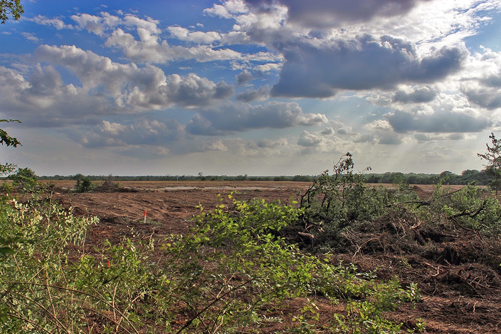
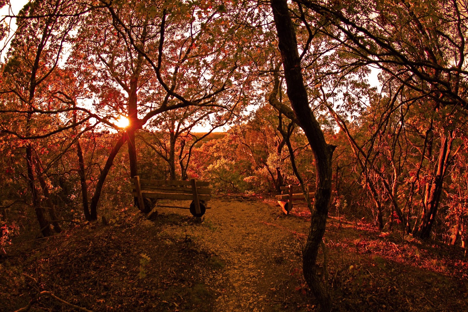
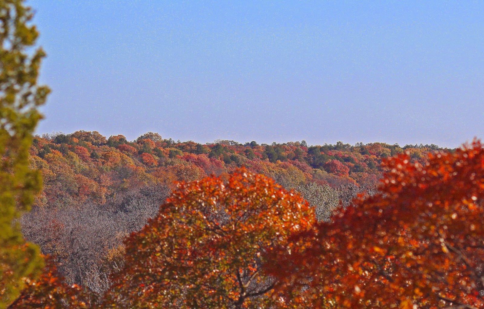
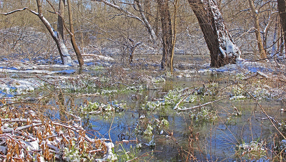
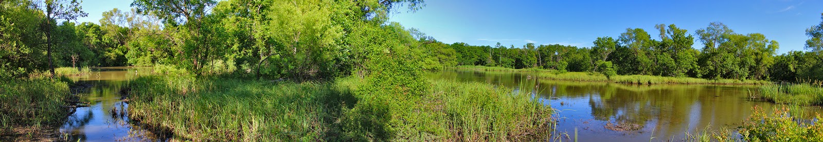
The usually placid and calm river grumbles and roars here in protest. A place whose concrete buttresses stand as a monument to a grand idea and best laid intentions of past generations run afoul. An aspirational dream of transforming the Trinity River from a naturally coursed stream into a boondoggle of an idea that never got off the ground. The river, the longest wholly inside the State of Texas had other plans. No public place on the river can serve as a more telling landscape to witness this than at Lock and Dam #2 at Goat Island Preserve.

Location:
2800 Post Oak Road Trailhead at 2800 Post Oak Road Wilmer, Texas
From Dallas take I-45 south to the Fulghum Road exit, head east where it eventually turns into Post Oak. Trailhead is easy to spot at one of the 90 degree bends in the road. New trailhead parking lot and sign note the entrance. One or two parking spots exist at the Beltline Road bridge but might interfere with ongoing construction activities if you park for extended periods.
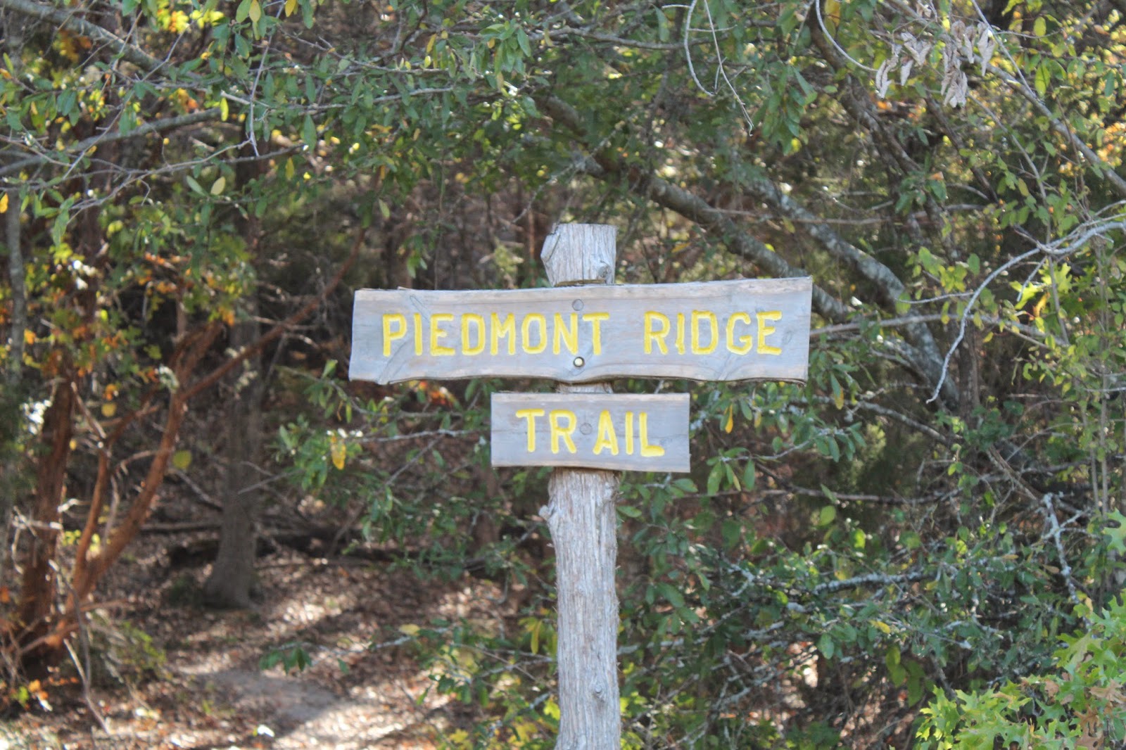
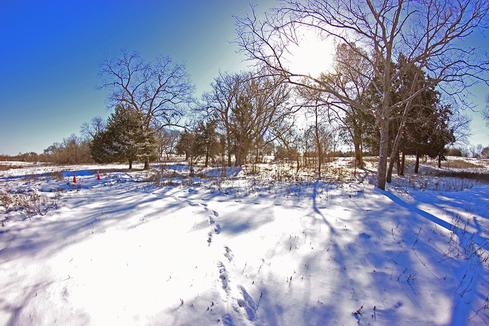
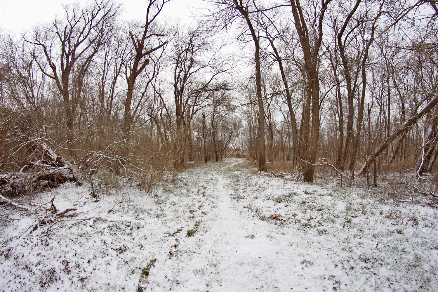
Contact:
http://www.dorba.org/trail.php?t=41 
goatisland@dorba.org
https://www.facebook.com/pages/Goat-Island-Preserve/523646911091310

Goat Island Trails:
Goat Island Preserve features two cutoff meanders that create islands in the river channel when the water is high. On the west bank of the river a large 1910-1920 era levee exists that runs from Post Oak to Beltline Road. As of this writing in November 2014, logging work is ongoing along the levee to clear trees. Borrow pits rest on either side and a lower dirt road trail runs between the levee and the river. Towering oaks and pecans are prominent here among succession forest. Lock and Dam #2 sits on the Trinity River just upstream of the Beltline Road bridge.

Trail Map
Blue and Red marked lines are old ranch roads. The smaller yellow lines are trails currently built or are under construction.
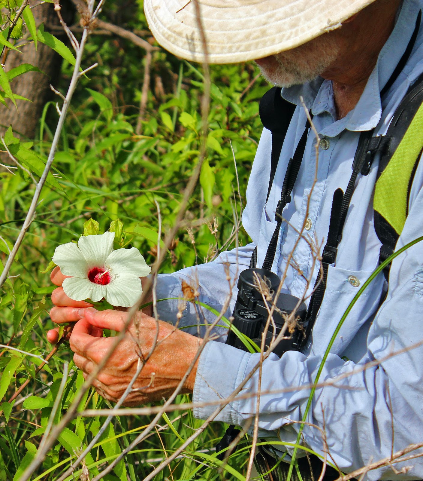
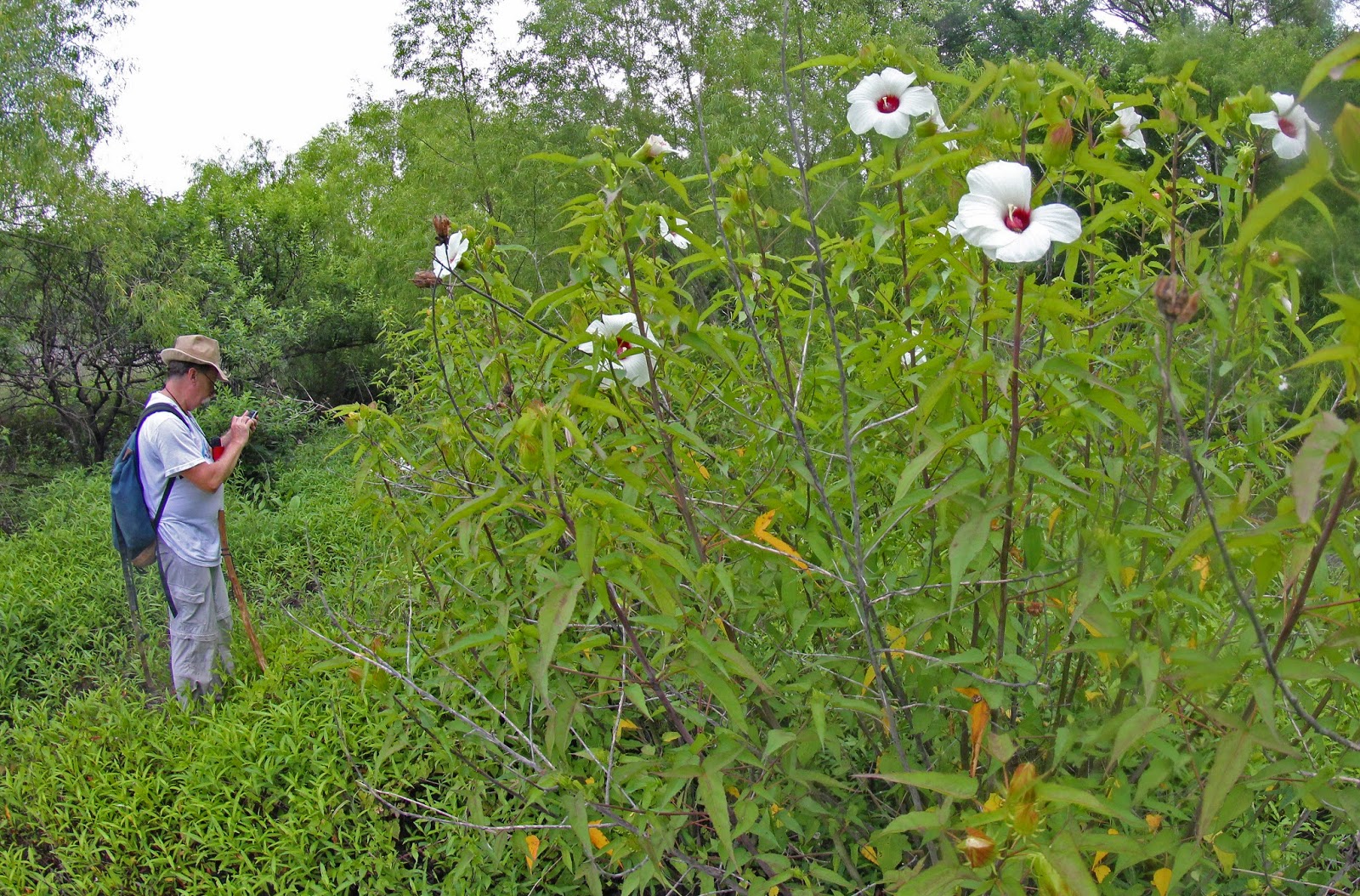
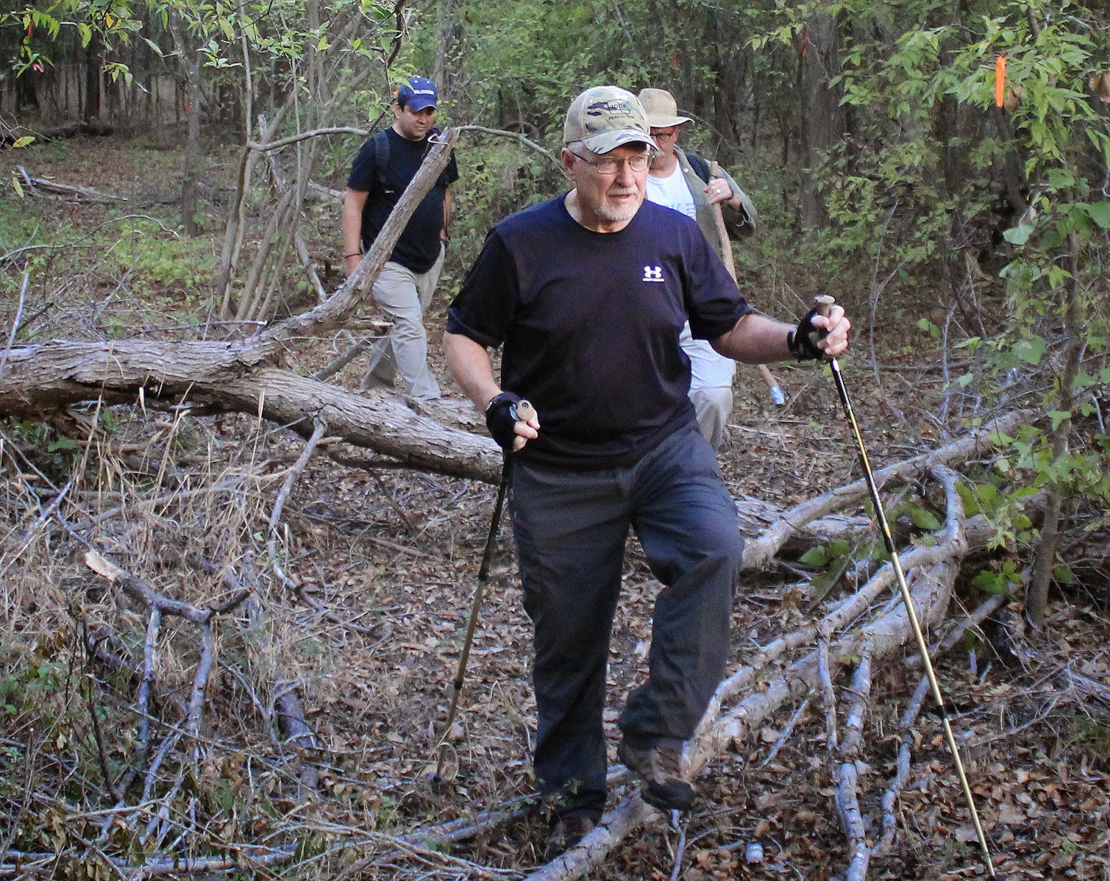
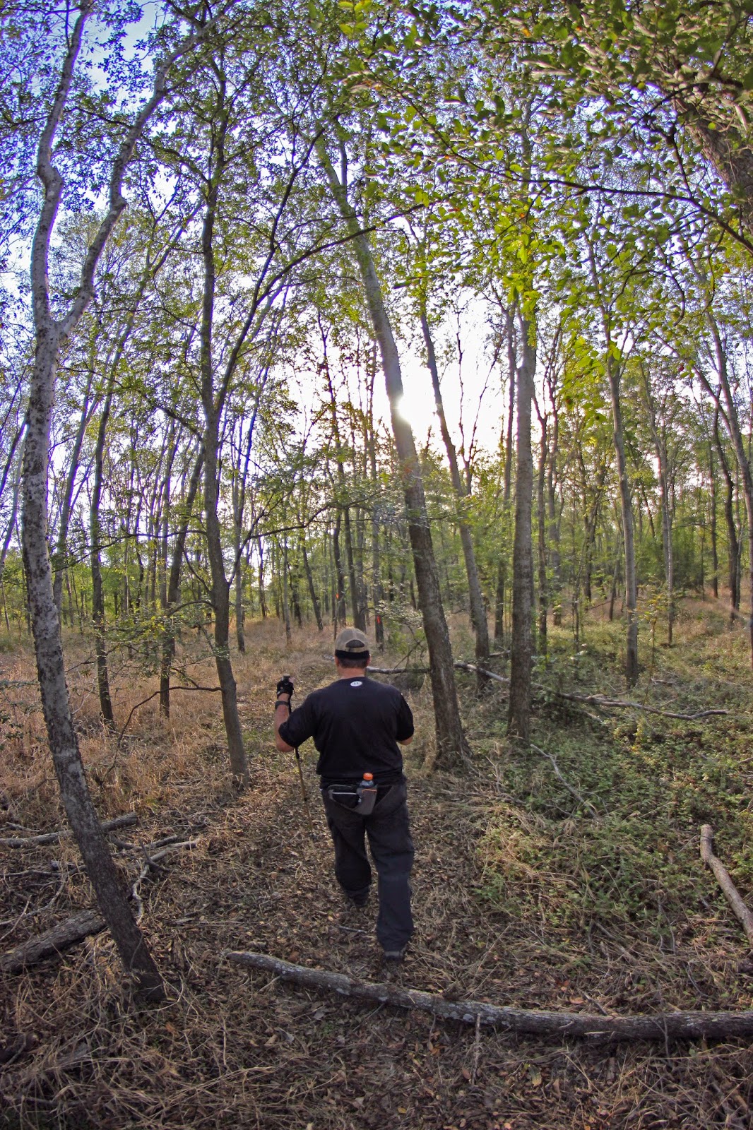
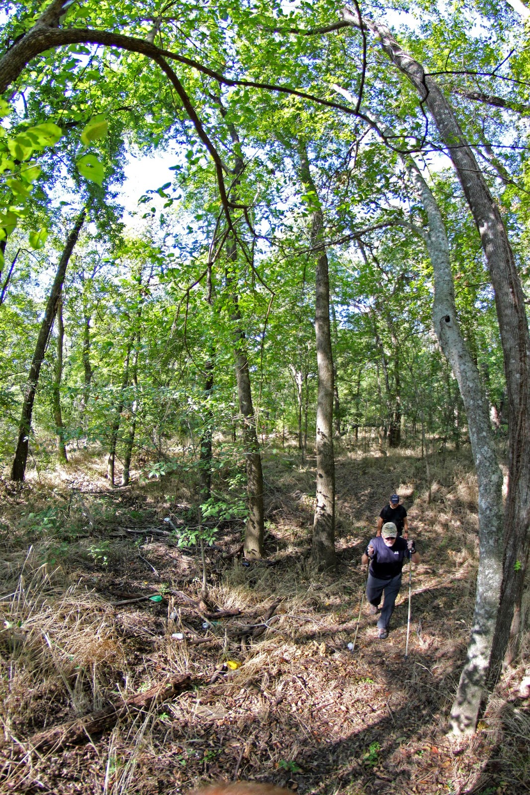
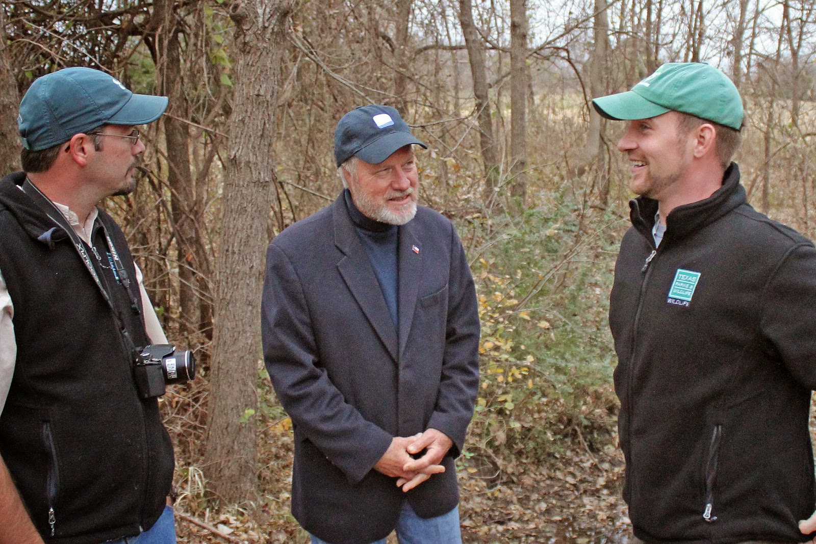
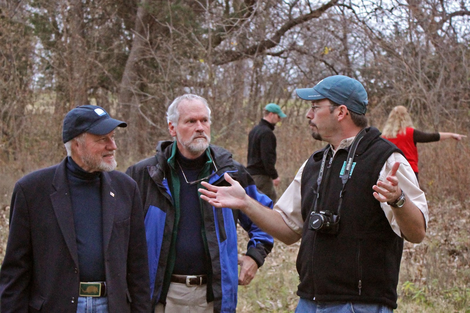
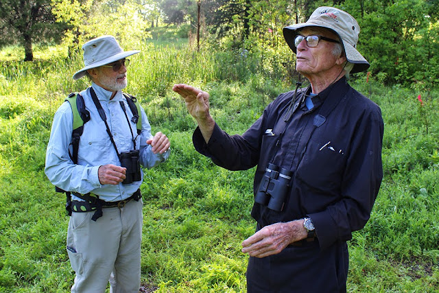
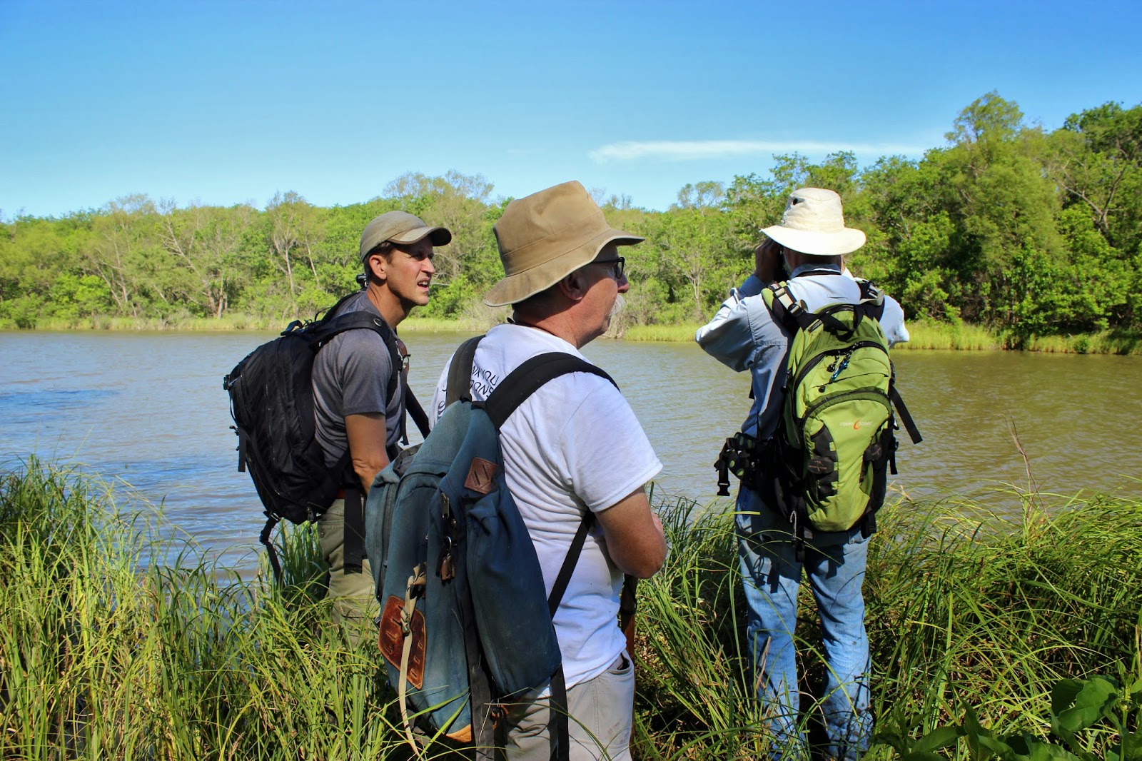
The locals call it Goat Island. Outsiders don't even know it exists. One man (you can help too) looks to change that obscurity into a well trodden path for hikers and mountain bikers at one of the best wilderness areas in Dallas County. He is Goat Island's Trail Steward and volunteer Joe Johnson.
Trail builder and trail steward Joe Johnson explaining to Master Naturalist Bill Holston how he worked some overlook sites into his trail designs at Goat Island
Joe is nearly a one man show with the miles of smiles he is building on the west bank of the Trinity River. With the blessings of Dallas County Open Space Program and the Dallas Off Road Bicycle Association DORBA his mileage constructed increases monthly.  It is from Beltline Road that his trails start a series of ever meandering loops and views of the Trinity River.


Joe Johnson's carefully planned loops work across old roadbeds that run parallel to the Trinity River. His trail loops radiate out from those established old farm roads built many decades ago when this was a working farm.

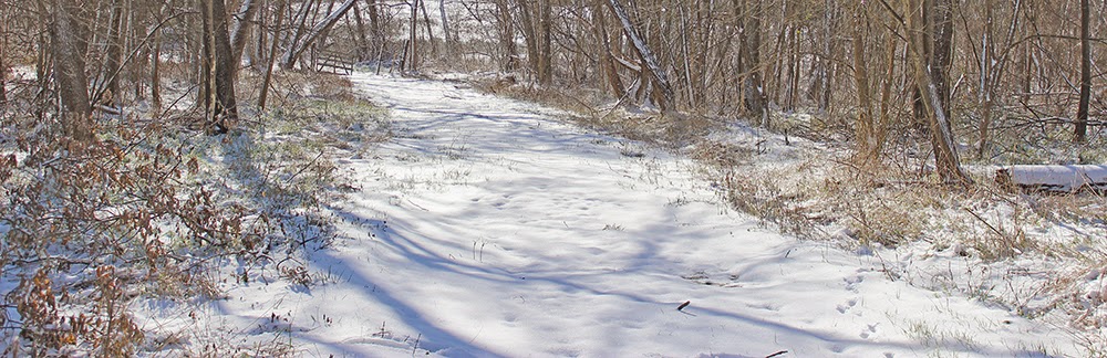
The double tracked trail into the preserve on either end follows the old farm road that had pig pens and barns on the north side of the preserve during the Little Oaks Farm era. Some faint traces of the old farm can still be seen if you look closely through the brush.


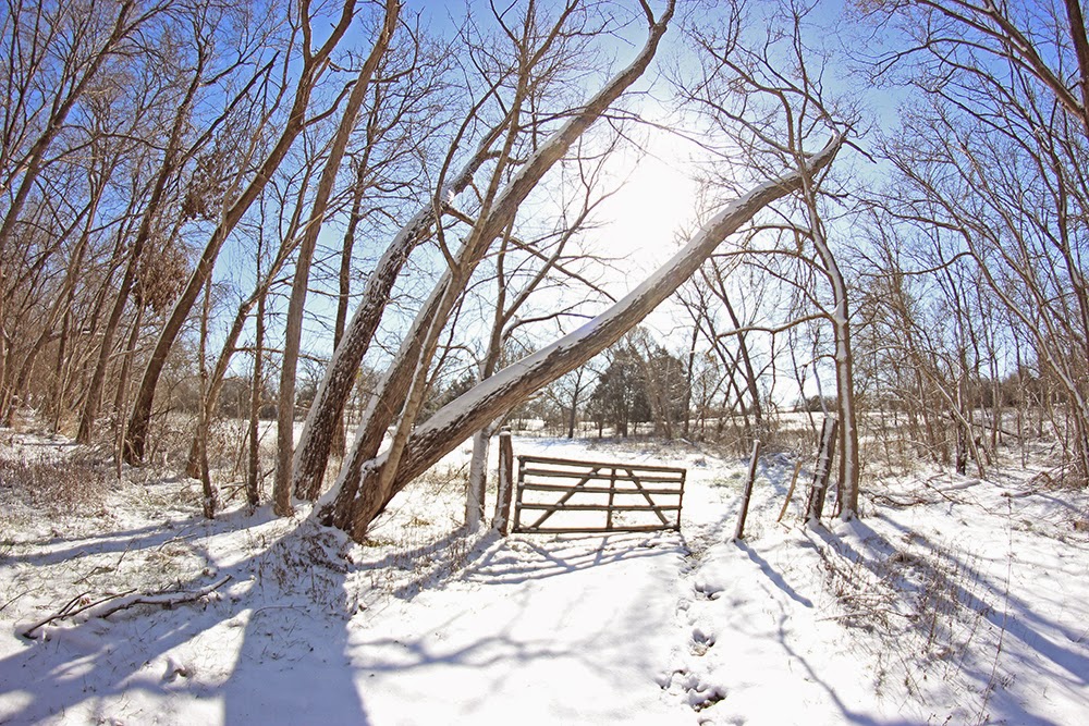
Old fence lines, some old gates and detritus from the old ranch are still visible. The old road to the north end sits on the Trinity Terrace sands, a slightly elevated piece of topography above the waxy clay of the river bottoms to the east.

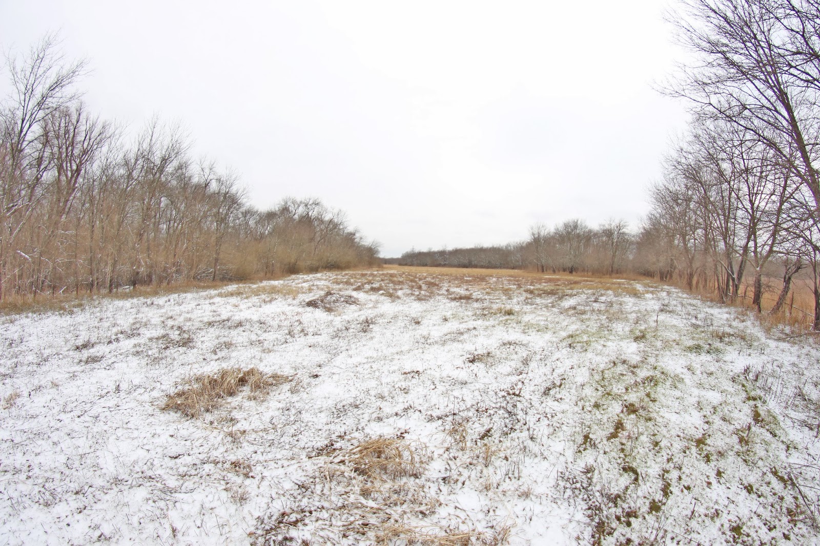
This has always been a bottomland prone to immense flooding and the ruining of a cotton crop overnight. The wide swath of land here that Goat Island Preserve sits on is a collection of old farms that once fronted the river at the turn of the last century.

Clint Murchison Sr amassed a large holding of real estate down here in the many thousands of acres during the Great Depression from those old farms. The land holdings went by the name Bluebird Farm, the old signs in some of the pastures still note the name on ornate steel archways. Bluebird Farm was a land holding company that had roots in Dallas and back home to the Murchisons in Athens, Texas.

Little Oaks Farm and the namesake of Goat Island
Murchison Sr owned the land here for decades using it has a cotton farm, cattle grazing operation and hunting lease. Murchison later sold a portion of the Bluebird Farm, 500 acres, land now called Goat Island Preserve to one of his own employees, Zedrick Moore.


Zedrick Moore tending to his exotic sheep
Zedrick and Betty Moore's Little Oaks Farm was most likely the namesake for Goat Island. They bought the land here from the Murchisons shortly after their wedding. The husband Zedrick was an employee of Clint Murchison Sr. Their old ranch house still stands today, built by them in the early 1950s. It is directly across from the entrance to Goat Island Preserve and is surrounded on three sides by graveled mining pits.

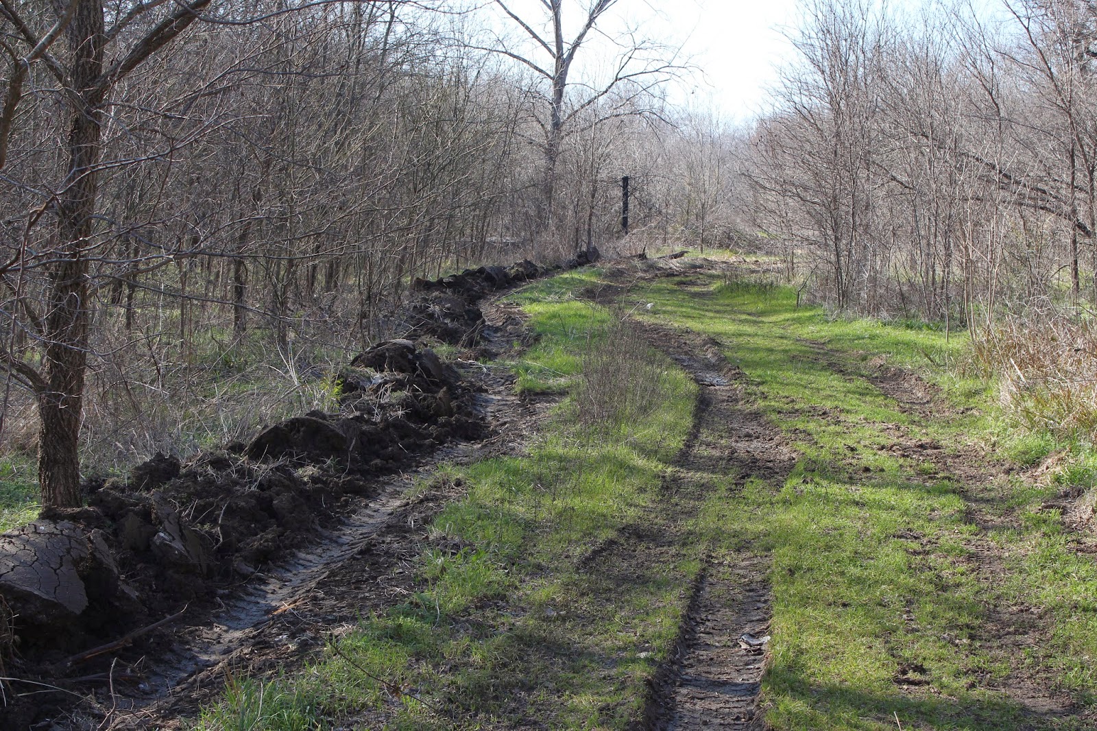
 It is from the north end of Goat Island Preserve that the old farm once stood. The northern end of the Trinity River Levee Improvement District #2 starts here too. Built and improved upon many times over the decades from 1917-1950. It's a simple piece of earthworks with dirt piled up from narrow trenched borrow pits on either side of the levee. Never designed to protect the farm fields from larger floods, the levees here were designed to protect property from seasonal and annual flood events.


A young stand of Ash trees at Goat Island Preserve
Until recently, trees and vegetation were allowed to grow on the levees. Unclear as to whether or not the levees are still a functional facility for higher flooding events on the west side of the Trinity. I would believe they only offer marginal protection since they have not seen earthmoving improvements in so long.

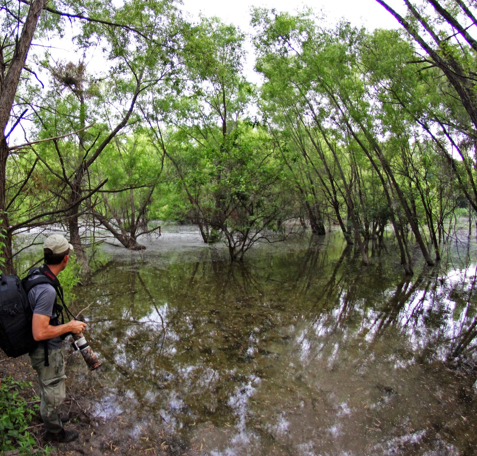
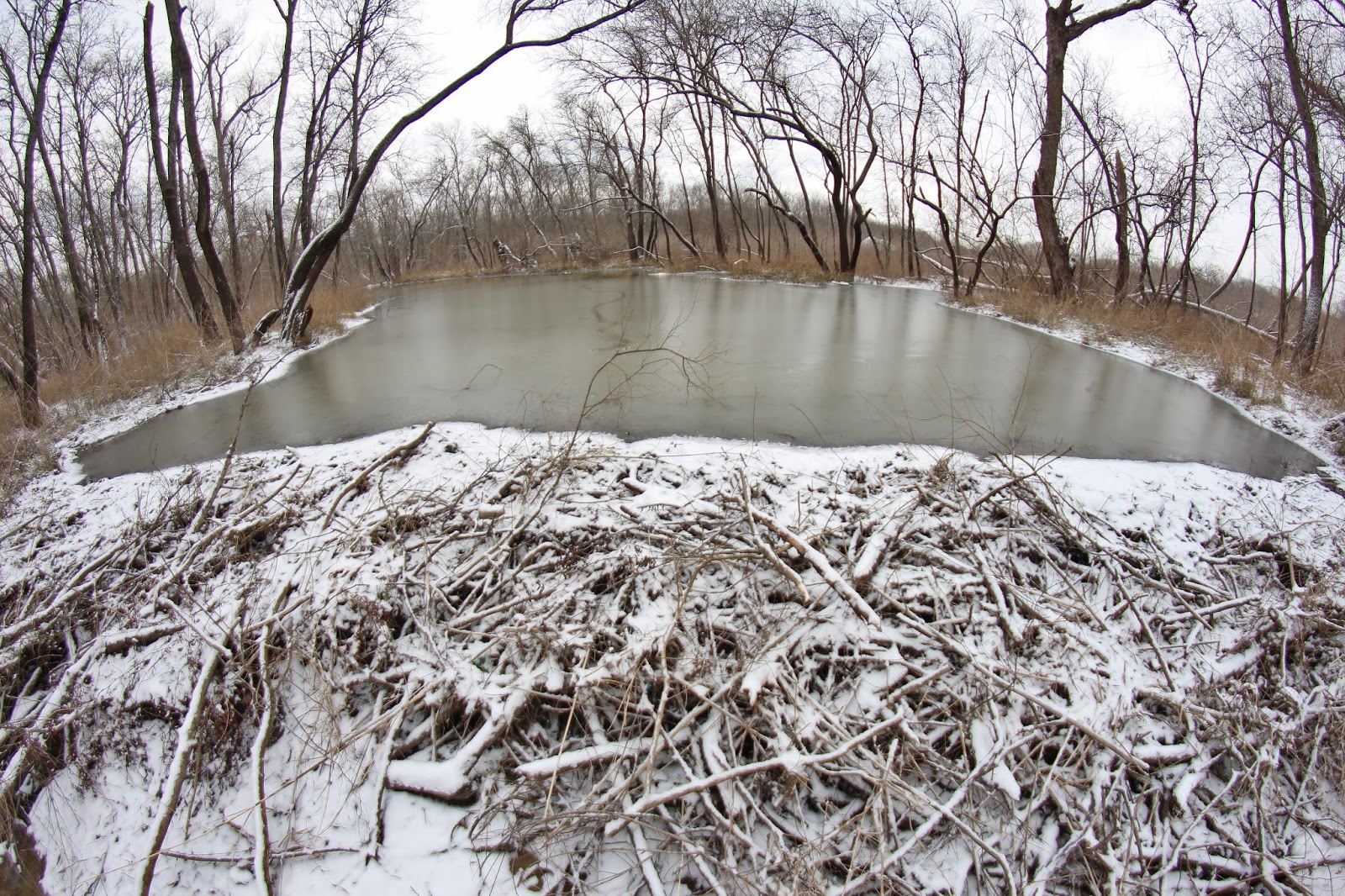
The higher levee road(in red on the map) follows the top of an old levee road which runs the length of the preserve south to Beltline Road. The lower road which runs between borrow pits for the levee and the Trinity River is slightly to the east and meets the upper levee road at Beltline. A high water table in the area ensures that even during the driest of weather that the low road stays wet and muddy in spots.

Goat Island From Beltline Road
The pre-dawn light over the Beltline Road Bridge at the Trinity River

Beltline Road Bridge
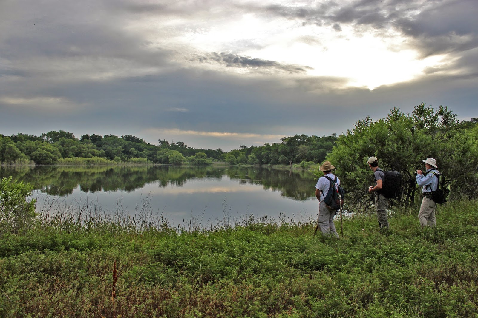
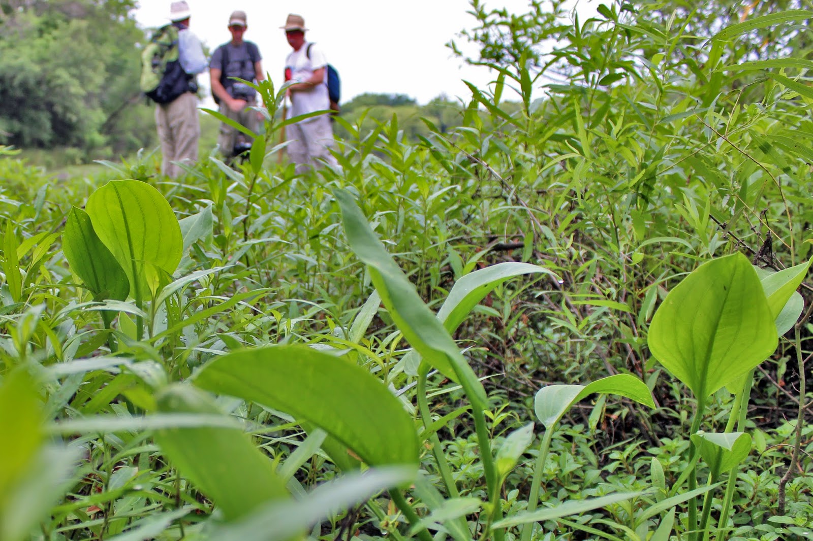
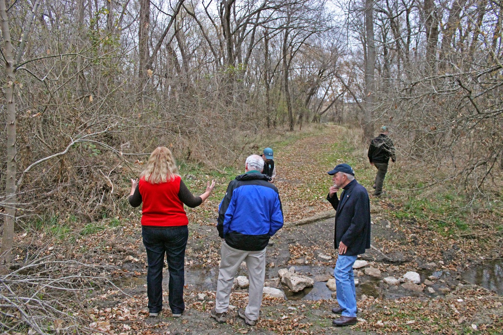
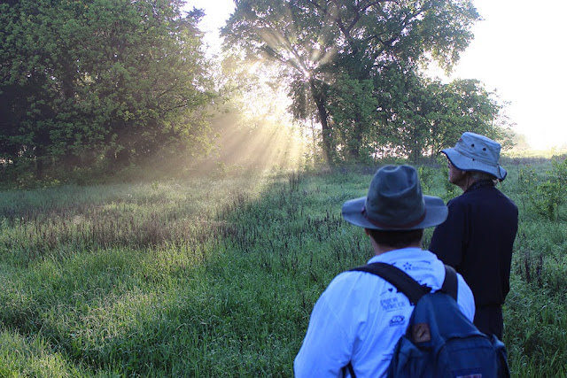
This visit to Goat Island highlights Joe Johnson's work and he suggested starting at Beltline Road since the balance of trails constructed are on the south end of the preserve. From there he hiked us up through the loops of trails towards Lock and Dam #2 and then beyond to the islands where he has done some great work.


One of the lower trail loops that has views of the Trinity


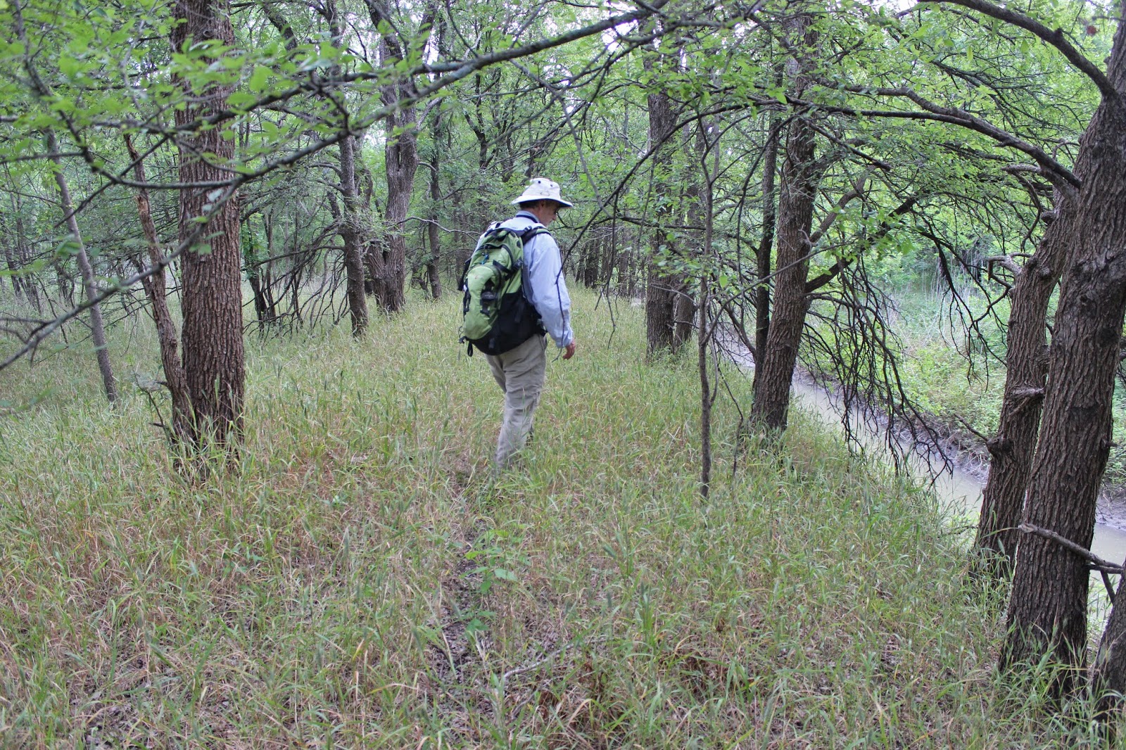
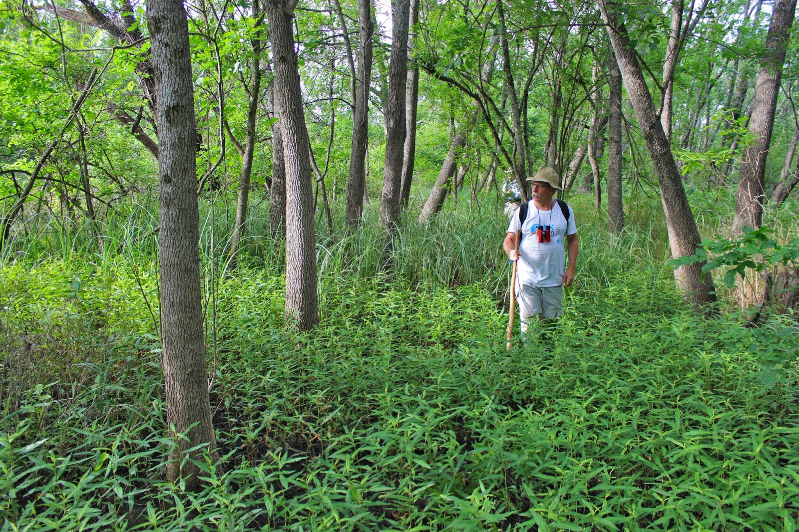
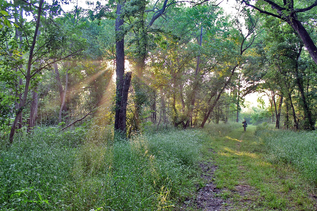
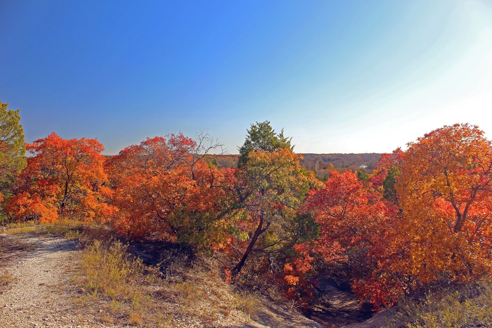
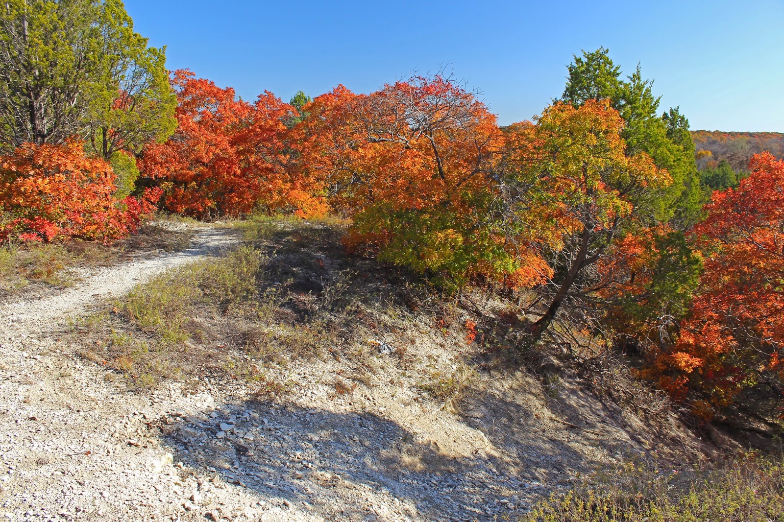
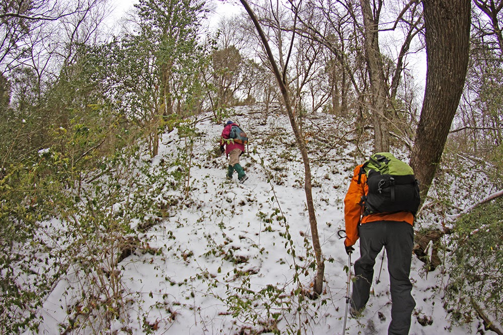
Best trail building practices call for following the natural terrain as practicable and staying a healthy distance from drop offs, streams or eroded areas. The Goat Island trails follow that edict. Lots of great flowing through the terrain with brief glimpses of the river.


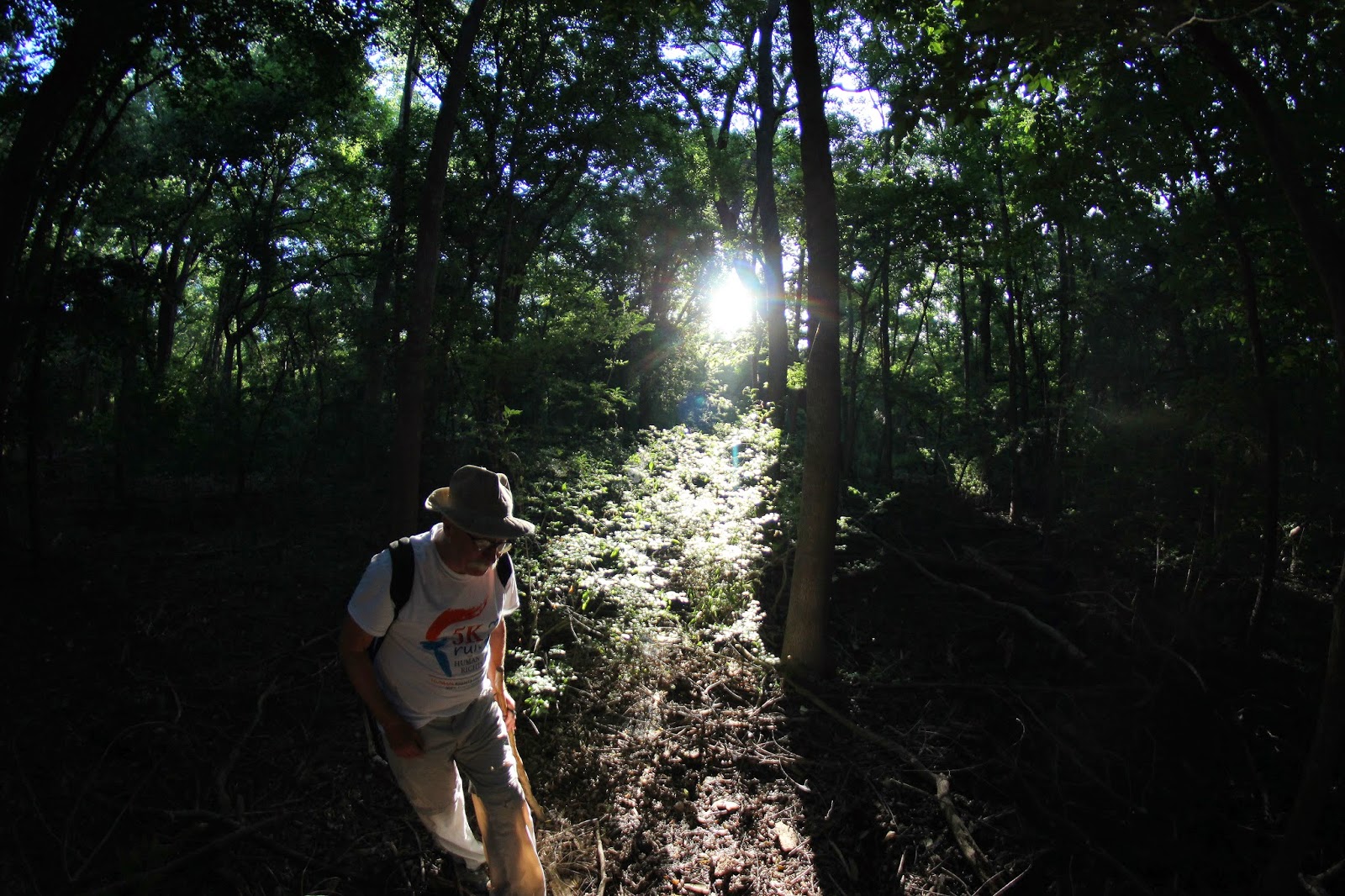
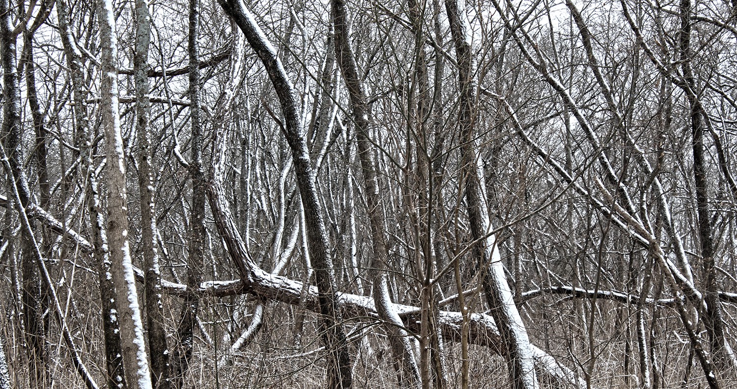
The trails cross all kinds of wooded terrain that up until several months ago I would classify as a 9 out of 10 on a bushwhacking scale of difficulty to navigate. Heavy woods and underbrush coupled with head high greenbriar tangles.

The new trails make this largely a walk in the park, one that cub scouts could walk with parents.

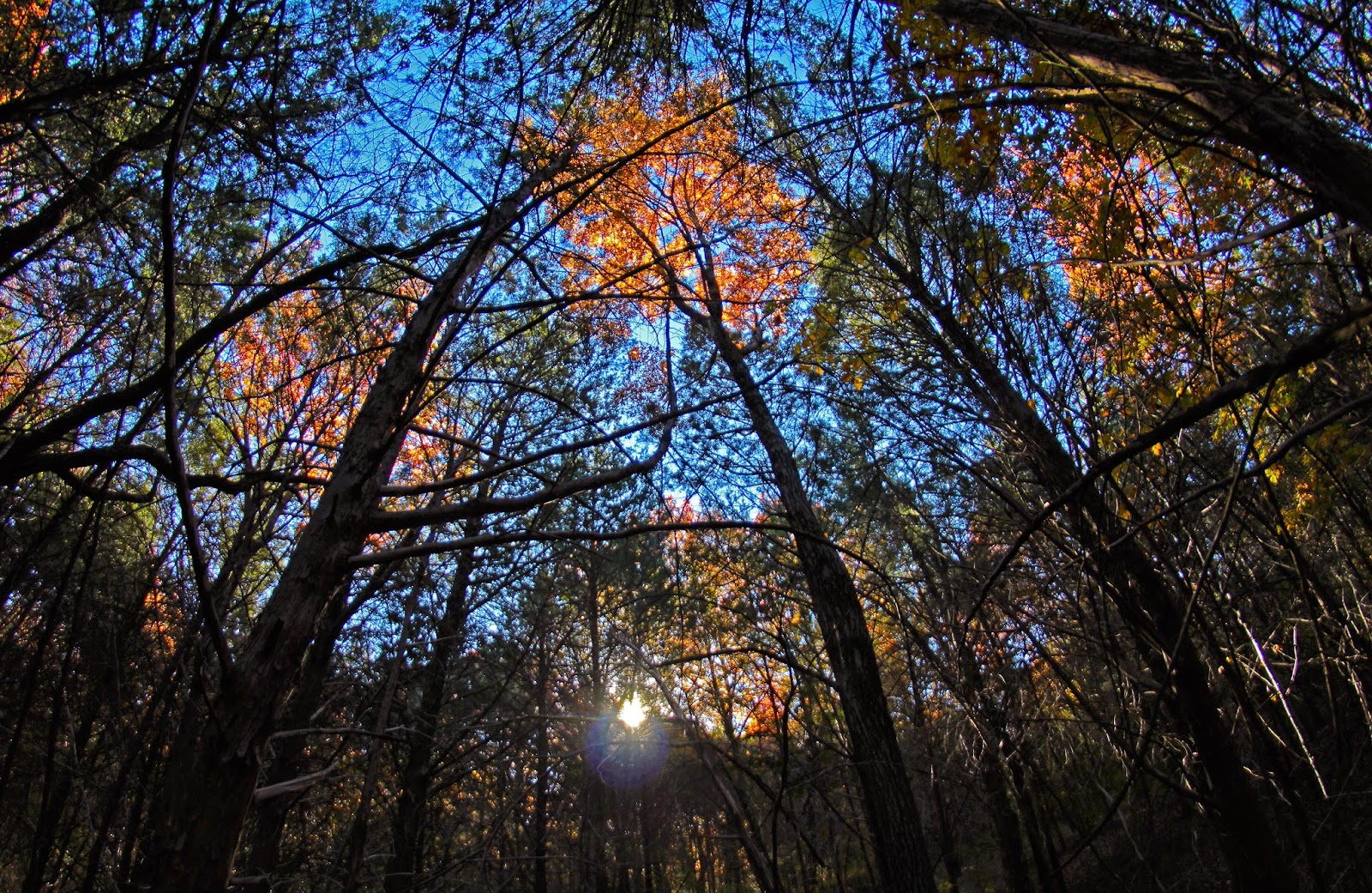
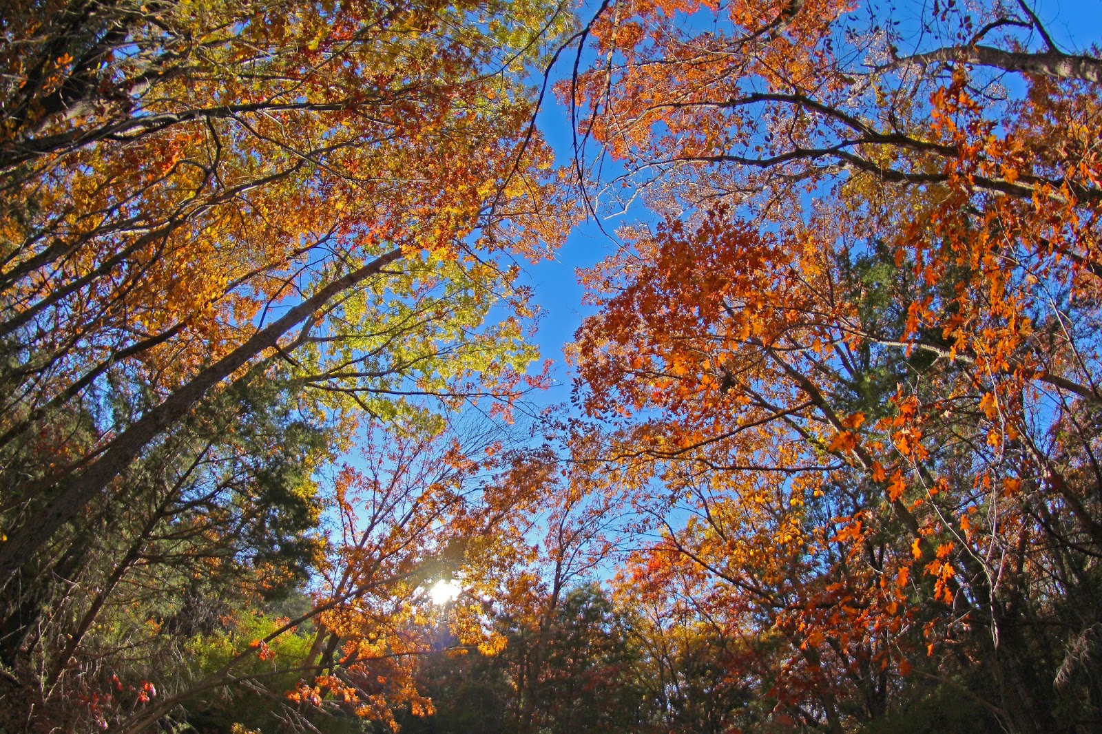
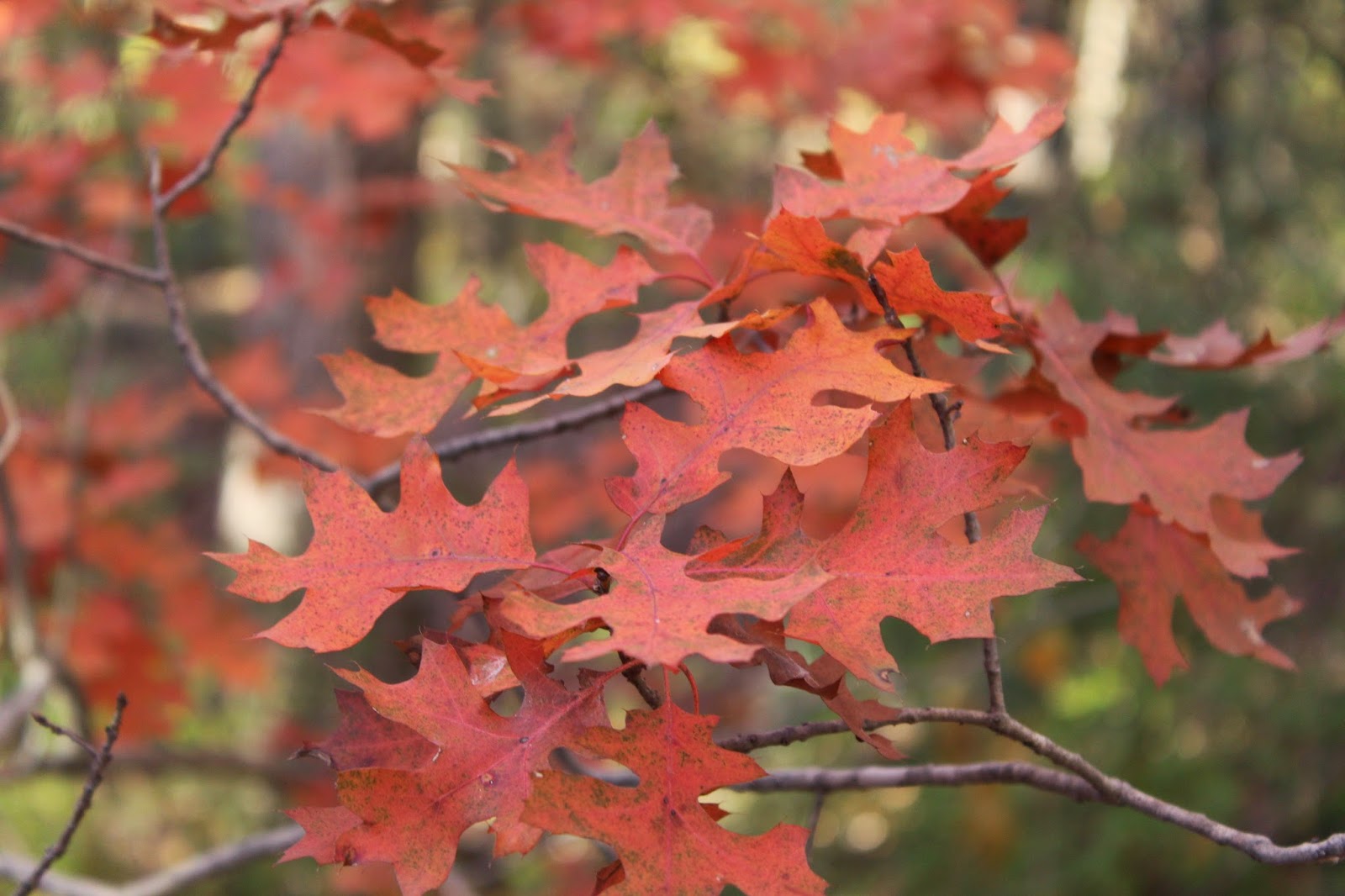
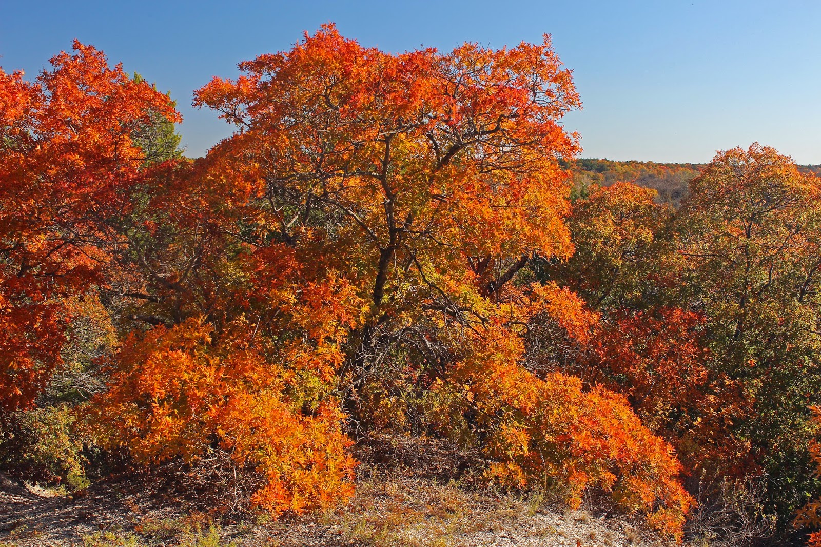
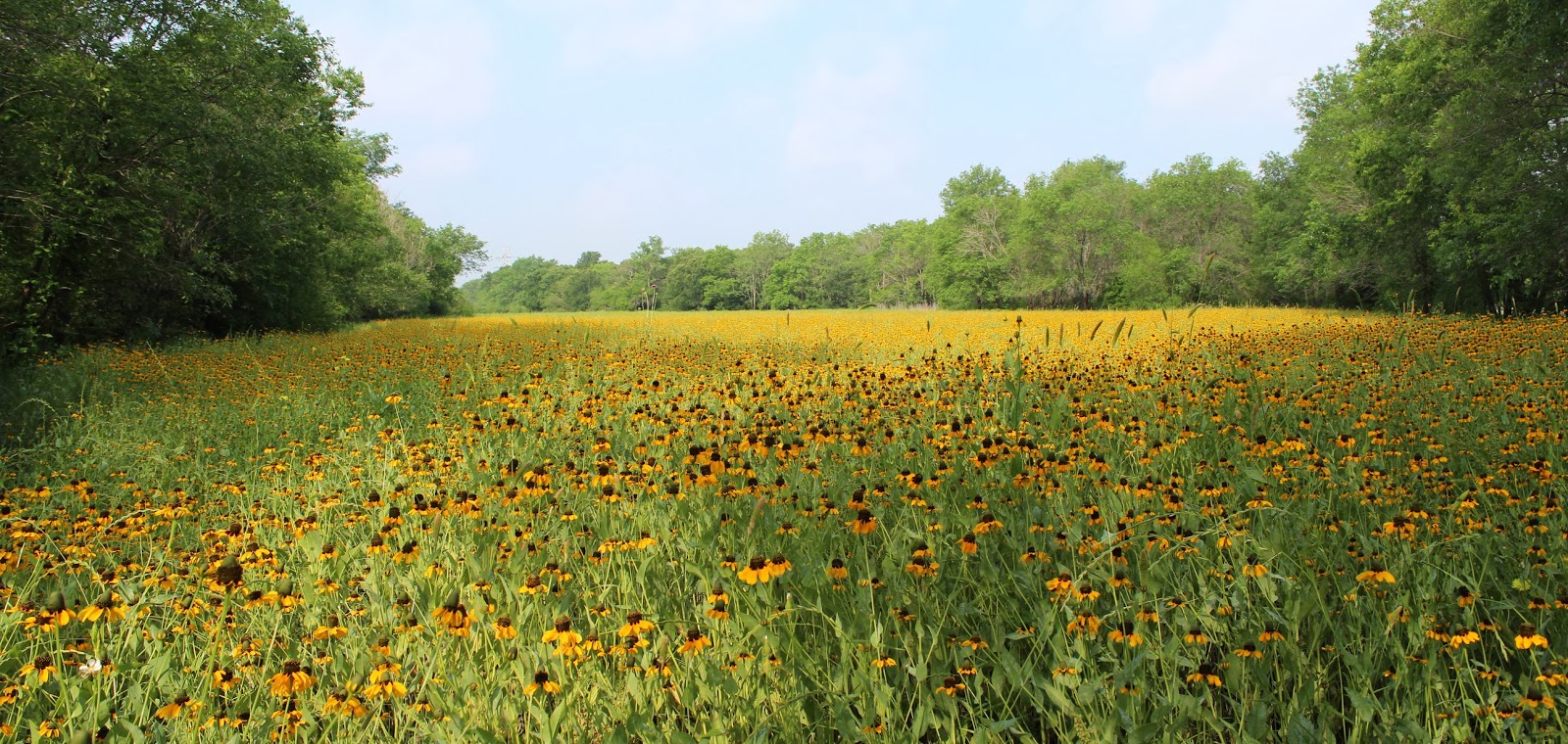
An astute eye will notice some areas are recently forested over the last few decades with pioneer species of ash. As one walks further north you begin to encounter large galleries of cedar elm.

This is excellent mountain biking and hiking terrain. The trail alignment is such that one can really get in some quality miles here.
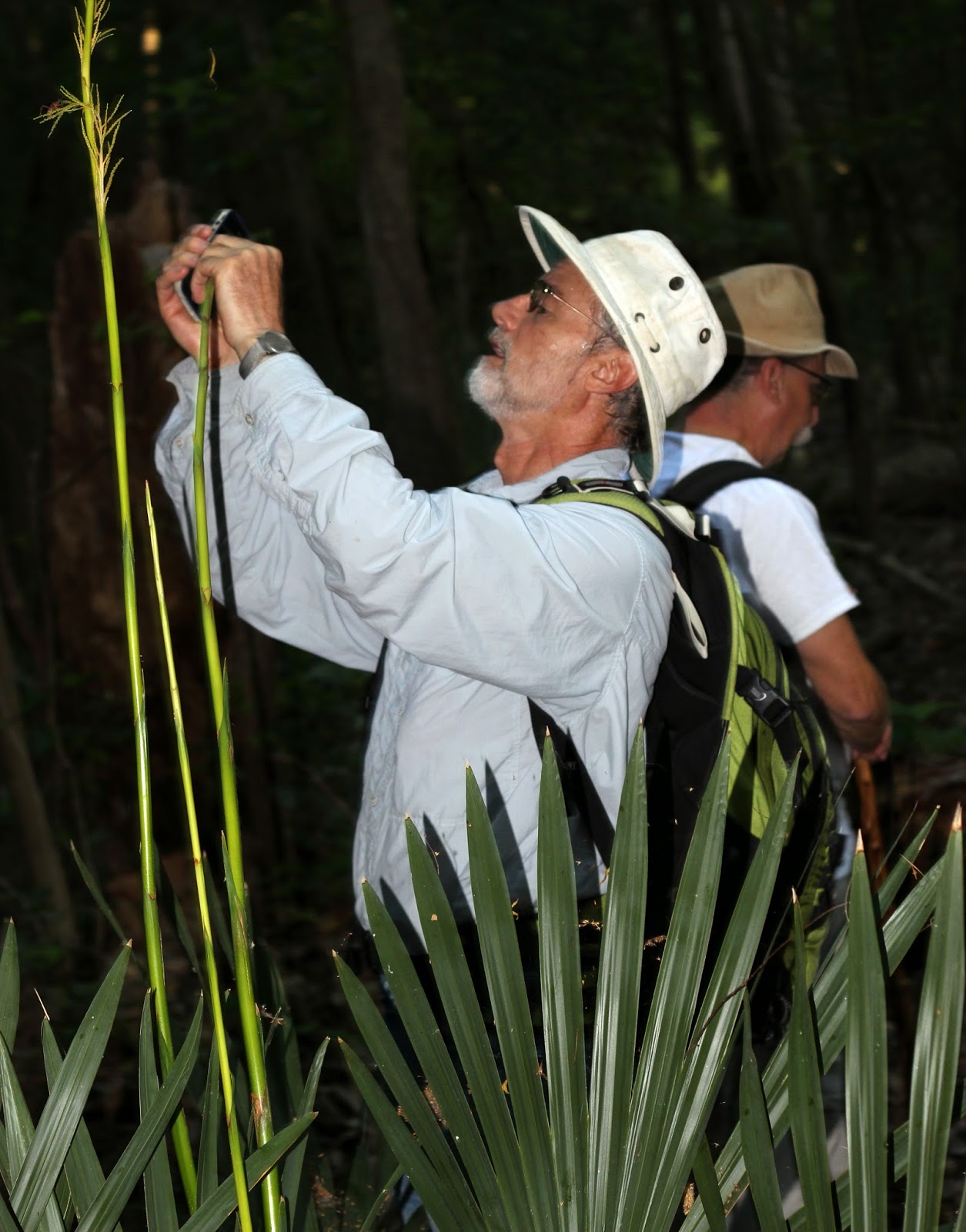


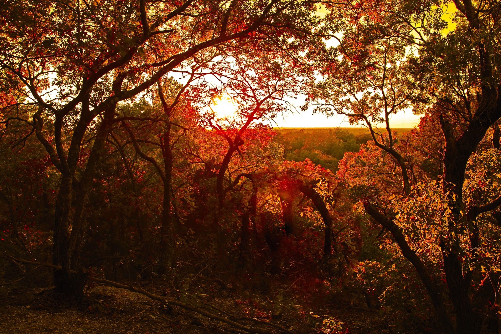
The cedar elm areas are truly spectacular in the autumn months as seen at right. The Virginia Wild Rye has turned a chesnut brown and gone to seed. The cedar elms have a hue of yellow to them.


These loops provide great insight into succession forest in the Dallas County Trinity River bottom. Very simple to understand how long it takes for the ecosystem here to repopulate after clearing.

The trails all eventually loop back to their original starting place or chain together towards Lock and Dam #2. The sound of the place draws you in towards it with each footstep.
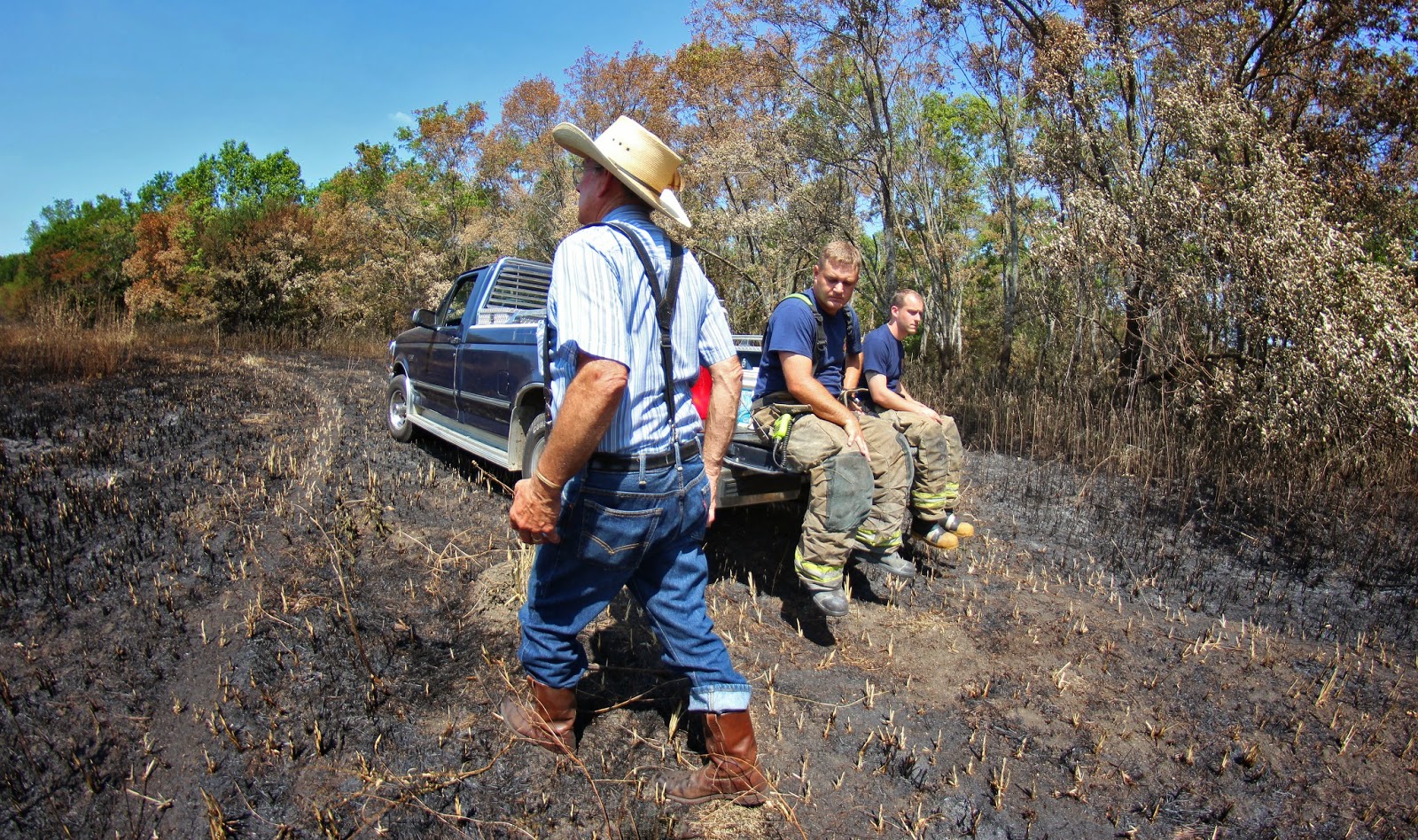
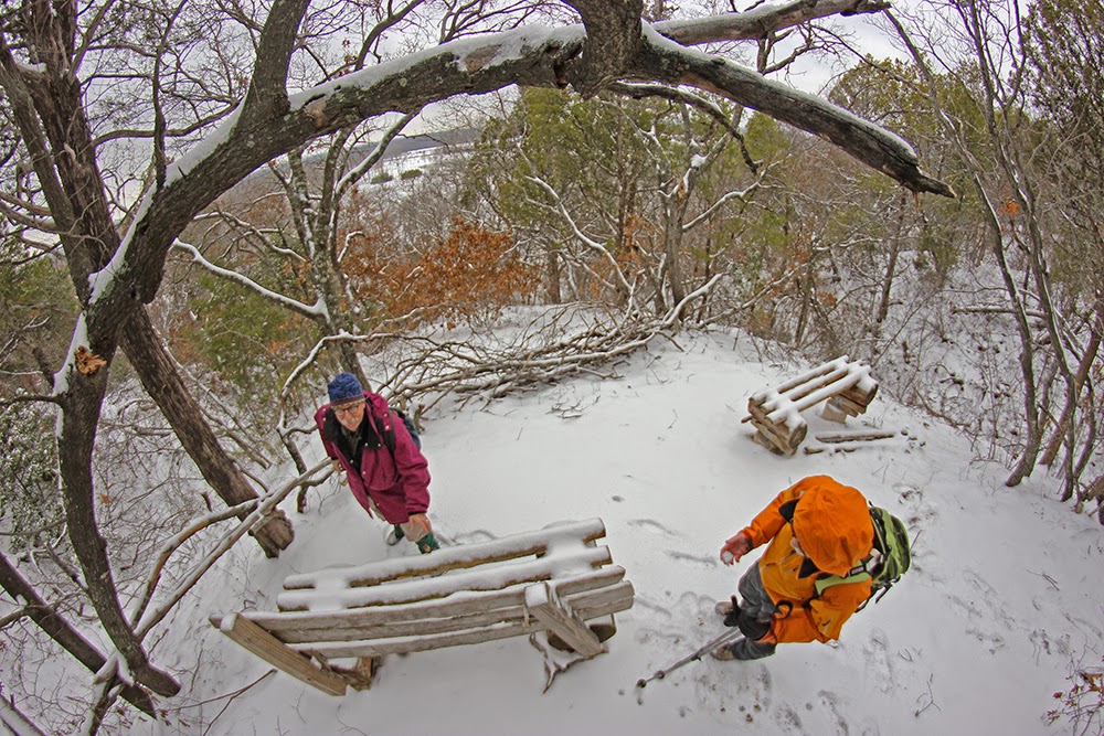


Lock and Dam #2
Joe Johnson at Lock and Dam #2 Dallas County Texas Goat Island Preserve Fall 2014
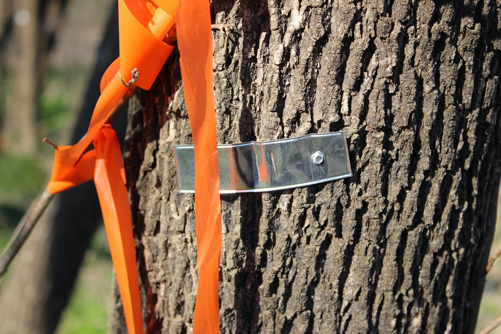
Trinity River Lock and Dam # 2 sits just upstream of Beltline Road. There are three locks on the Trinity River in Dallas County, #1 at McCommas Bluff, #2 at Parson's Slough/Goat Island and #4 near the mouth of Ten Mile Creek/ Riverbend Preserve.All were built between 1910 and 1916.

The locks and dams in Dallas County never saw much river traffic. The idea to harness the power of the Trinity into a navigable water way was abandoned shortly after World War I in 1922.

Leaps in technology with long haul trucks and improvements in road and rail capacity sidelined the effort to move commerce via the river. Ideas at rebirthing the locks and dams on the Trinity came in the 1930s, 50s, 60s and 70s. These ideas were fanciful pursuits for the most part, grand visions with no science to support the effort.

Today we are left with the concrete foundations of the locks, twisted metal and fallen flood gates. Lock and Dam #2 is the most photogenic of the locks in Dallas County. The water literally roars here with long vista like approaches on either end. The other locks are constrained to some extent in the river channel and don't have wide eroded pools on the downstream side.

Each Boule Gate that was used in the lock was 24 feet high, 30 feet long and weighed 60,000 pounds. One gate formed half of a door, 1 door on the upstream end and 1 door on the downstream end completed the lock which was designed to raise and lower boat traffic.

Parson's Slough
The construction of Lock and Dam # 2 required the closing of a subchannel of the Trinity called Parson's Slough.

Sam Street's 1900 Map of Dallas County featuring Bois 'd Arc Island right of center
The idea was to  cutoff a 14 mile stretch of the traditional stream bed for a more westerly course putting all water in one channel of the Trinity. The old riverbed became known as Parson's Slough and the 22,000 acre area surrounded by the new and old river became Bois d' Arc Island.

Parson's name still lives on Bois d' Arc Island where Parson Slough Ranch commands a large acreage
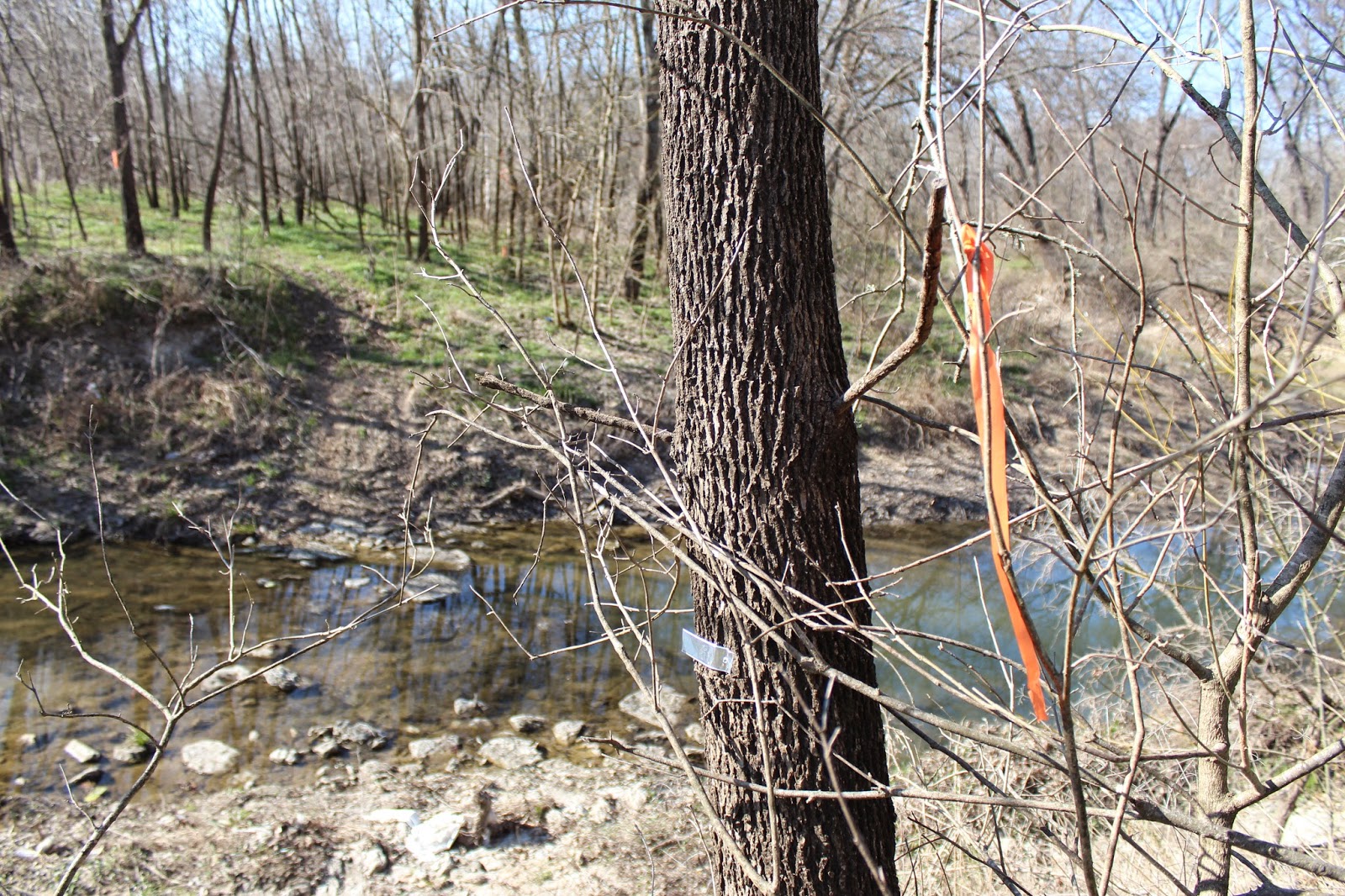
 In 1911, the slough was permanently cutoff from the Trinity River near Goat Island Preserve. The same construction company that built Lock and Dam Number 2, built a concrete dam at the head of Parson's Slough where it meets the Trinity. Twenty feet high and two hundred feet wide, the goal was to permanently send the river down the new channel rather than risk a flood putting the river meander back in the old. Now buried under dozens of feet of silt, it cannot be seen from the west bank.

It sits near the outflow channel near the Southeast Wastewater Treatment Plant. Buried. Only during times of the very highest water flows would the dam become a spillway.  Combined with some levee projects in the 1920s, this left Parson's Slough high and dry from the Trinity. The flood prone area now known as Bois d' Arc Island now serves as some of the very richest farmland in Dallas County. Much of which is owned by Trinity Industries for future gravel mining.


A Visit To The Biggest Black Willow You Ever Saw
Probable State Champion Black Willow at Goat Island
The new Goat Island trail system goes a number of places that really are in the boondocks of riverbottom. As the trail meanders up to the historic junction of where Parson's Slough and the Trinity once met, sits a meandering oxbow of sorts that hold what is most likely the Texas champion Black Willow.

Joe Johnson and the base of the old willow
The current state champion Black Willow is at White Rock Lake Park and was lost in an October 2014 thunderstorm event that not only knocked down the 175 year old tree but left most of Dallas without power for days. Familiar with that tree that was lost, this Goat Island tree is much, much larger. It resides near the old cutoff, just right across the river from were Parson's Slough and the Trinity once forked.

Dallas County and North Texas really lacks giant trees. The visit here is worth it just to see this huge willow.

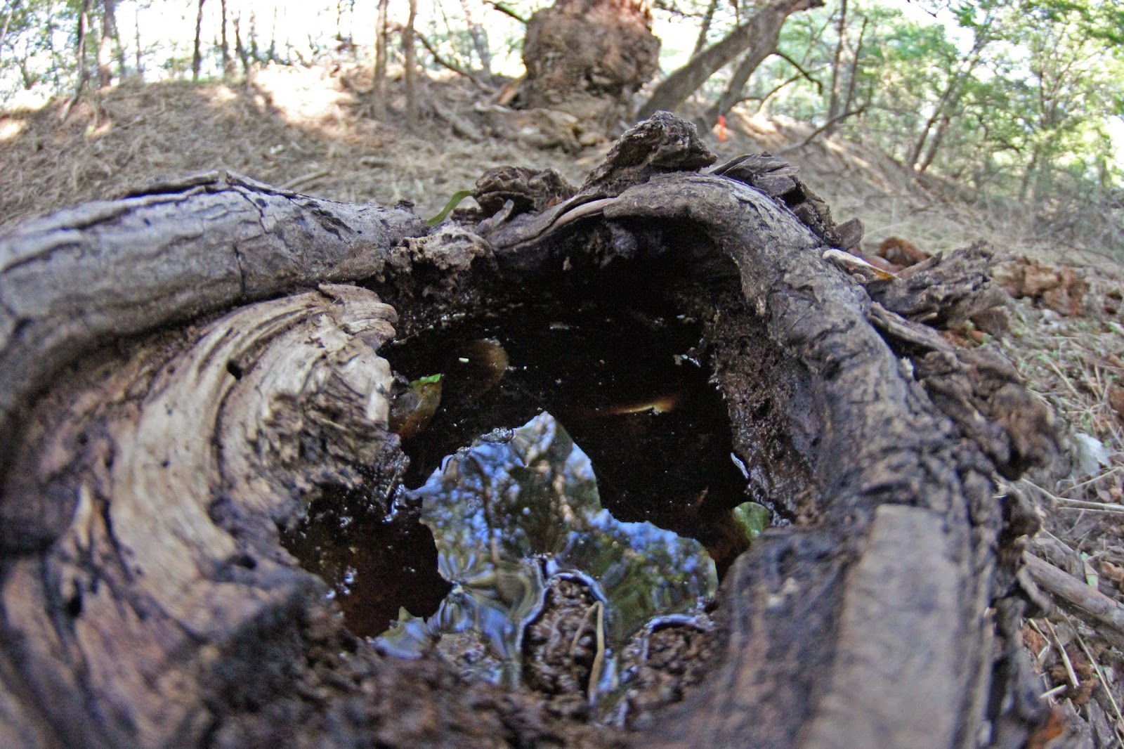
The old broken limbs of the tree that lay strewn about are larger than the main trunks of most mature willows. They are so large that the old knots collect water a gallon or more at a time like punch bowls.

I imagine at some point in the near future it can be officially measured to crown it the largest Black Willow in the State of Texas.
Multi trunked ash tree
 Moving north, the trees start to get older and the understory starts to reflect a mature hardwood forest. Beauty berry and rough leafed dogwood command the understory with larger species of oak and pecan beginning to show themselves in the distance.
Feral hog track in the mud at Goat Island

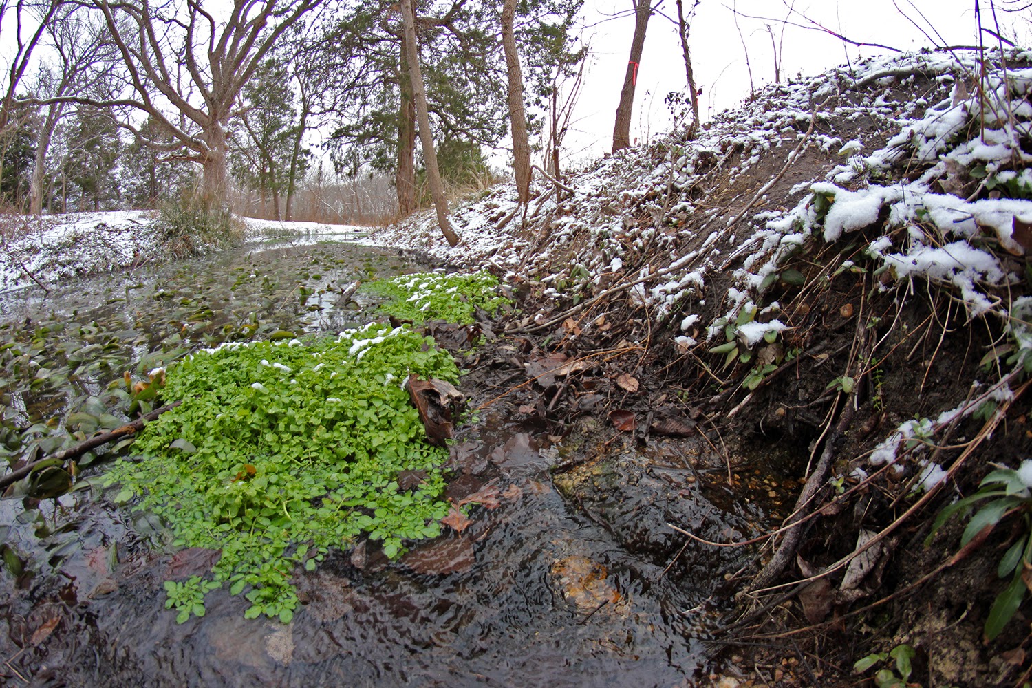
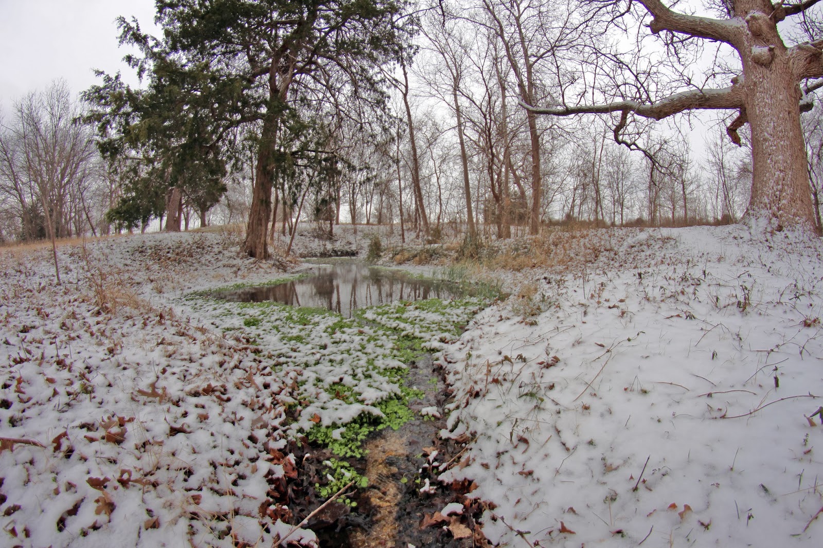
Despite an exceptionally dry 2014 in North Texas, the lower road is still wet. The near permanent seeps here signify a shallow water table.

The DORBA mountain bike trail has been flagged through this area with work arounds for the muddiest of spots. Still in a flagged stage to a large degree, work is moving forward when conditions allow. The roads and dirt are rideable now, the pig paths and meandering coyote trails are too. Just don't expect a butter smooth and groomed ride.

The Trinity River has not experienced an overbanking flood event that would push water into this area since March 2012, almost two years ago. When that occurs, not only do the lower sections have standing water for long periods of time but the higher sections do as well.

Some areas that can become completely surrounded by water even during modest water levels in the river are the cutoff oxbow islands that give the preserve it's name.

Trails on the islands
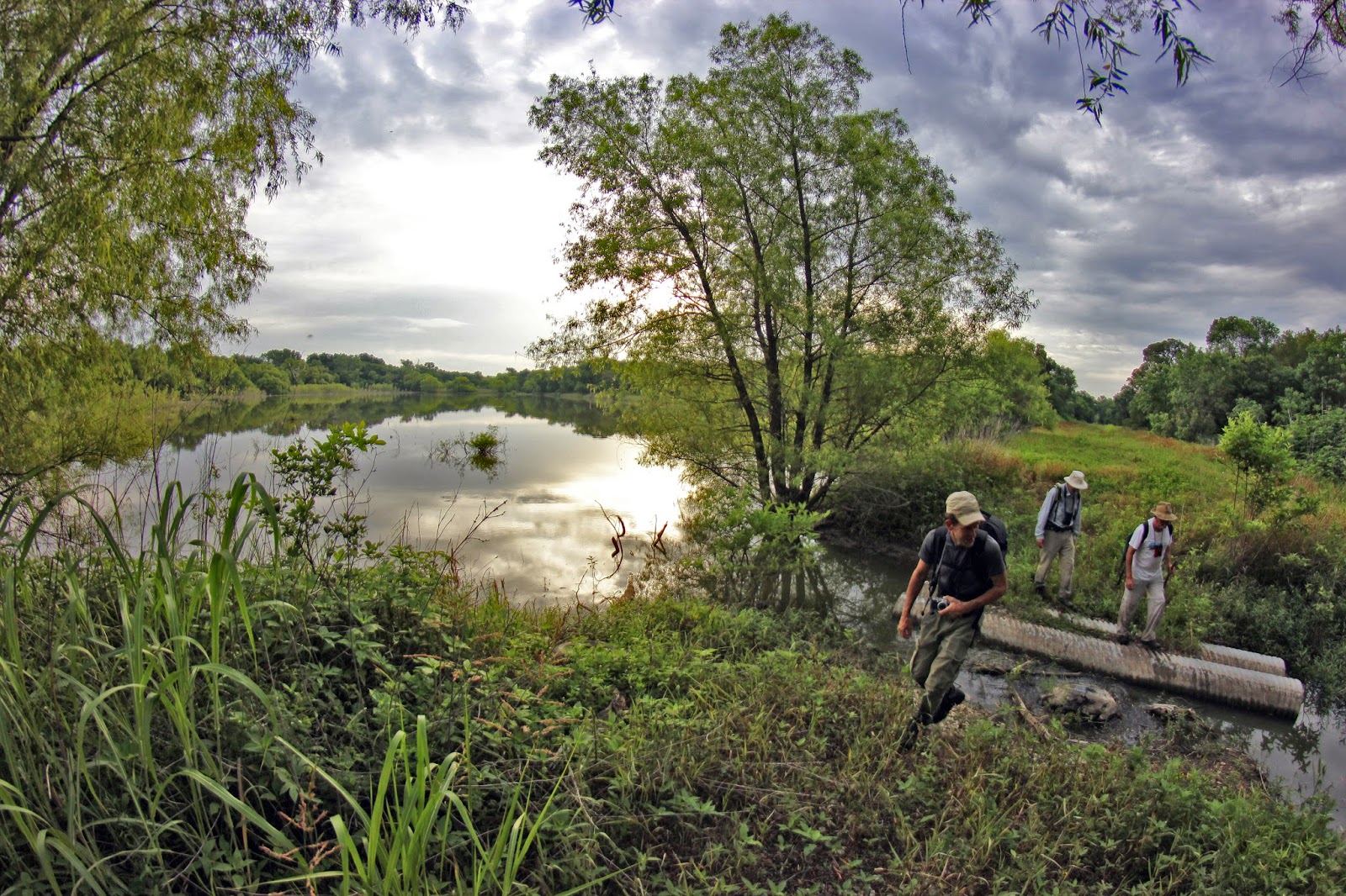
Crossing the first oxbow using a concrete access road for a sanitary sewer line
Access to the islands can be made fairly easily using a pipeline right of way that runs roughly west to east across the levees and then transits the Trinity River to the wastewater treatment plant on the east bank of the Trinity. Some areas that can become completely surrounded by water even during modest water levels in the river are the cutoff oxbow islands that give the preserve it's name.

The point of reference to finding this spot is to locate the large lifting station structure on the west bank levee of the Trinity River and then follow the right of way.

Unless you want to swim or get hip deep in mud, the sewer line crossing at the westernmost oxbow is the only place to cross. Resembling a hill country low water crossing, the elevation is scarcely high enough to prevent wet feet in the driest of weather. This area will rapidly flood as it serves as a path of least resistance for the Trinity River.
Big gigantic trees as far as the eye can see


It is here, beyond the reaches of where many would ever go, that the new trails provide access to places that were previously very hard to navigate. On the islands here one sees the richest collections of biodiverse plant species in the preserve. Towering oaks, elms, pecans and understory constituting many species.

The second island is just east of the first and is separated by a deep meander that lacks a concrete crossing. This is a very scenic spot, with large Bur Oak trees lining the meander on both sides. Many are quite large.

The river's shores around the islands here are dirt and steep, some twenty feet surmounted by cottonwood, willow and driftwood rafts. The hard limestone and sand beaches of the river sit on the opposing bank.


Sabal Minor palm trees growing on Goat Island
The new trail also passes within about twenty feet of Sabal minor dwarf palmetto palms which are the native palm species to Dallas County. As I explore more and more remote places along the Trinity I encounter these plants in the oddest of places.
On Goat Island's new trail
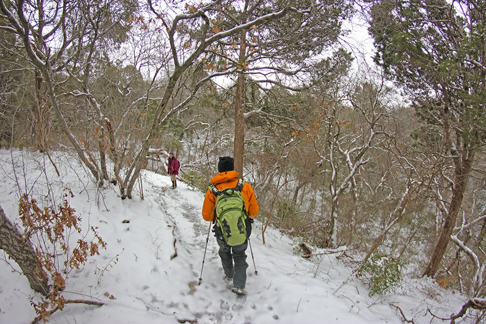
The trail out here on the island has the rolling topography of dips and twists that will please both hikers and cyclists. It needs more foot traffic to bed the trail down and some work to get it up to speed for mountain biking. The remote location of this place keeps traffic down which be nice but also detrimental to getting a trail bed established.

In winter the hike in is easy and a mountain bike would make quick work of the terrain with ease once the trail is bedded down. The larger Red Oaks, Pecans and Walnuts give way to more Ash and Bur Oak here as the terrain gets lower and more prone to sustained flooding events. The random white trunk or two of sycamores are down here as well.

Like most areas on the Trinity River, one does not encounter heavy briar thickets and privet until the last 30 yards around the riverbank. The waist high thickets are ones most generally avoid.

Huge trees with an open view hundreds of yards long
Egress out of the area is simple using the lower or upper roads with many interconnecting animal trails between the two. Rumor has it at some point in the near future, the plan is to create a soft surface greenbelt trail along the levees that joins Goat Island Preserve and Riverbend Preserve to the south. Since this is unincorporated Dallas County and without a civic push it might be awhile before that becomes a reality.

If you live in Southern Dallas County or suburbs, Joe Johnson could use some buddies to get the trail in tip top shape. Use the links at the top of the post to contact him. This place has wonderful possibilities and limitless trail riding if some more traffic and elbow grease could get down there. It would make a great Eagle Scout, corporate giving day or church group project.
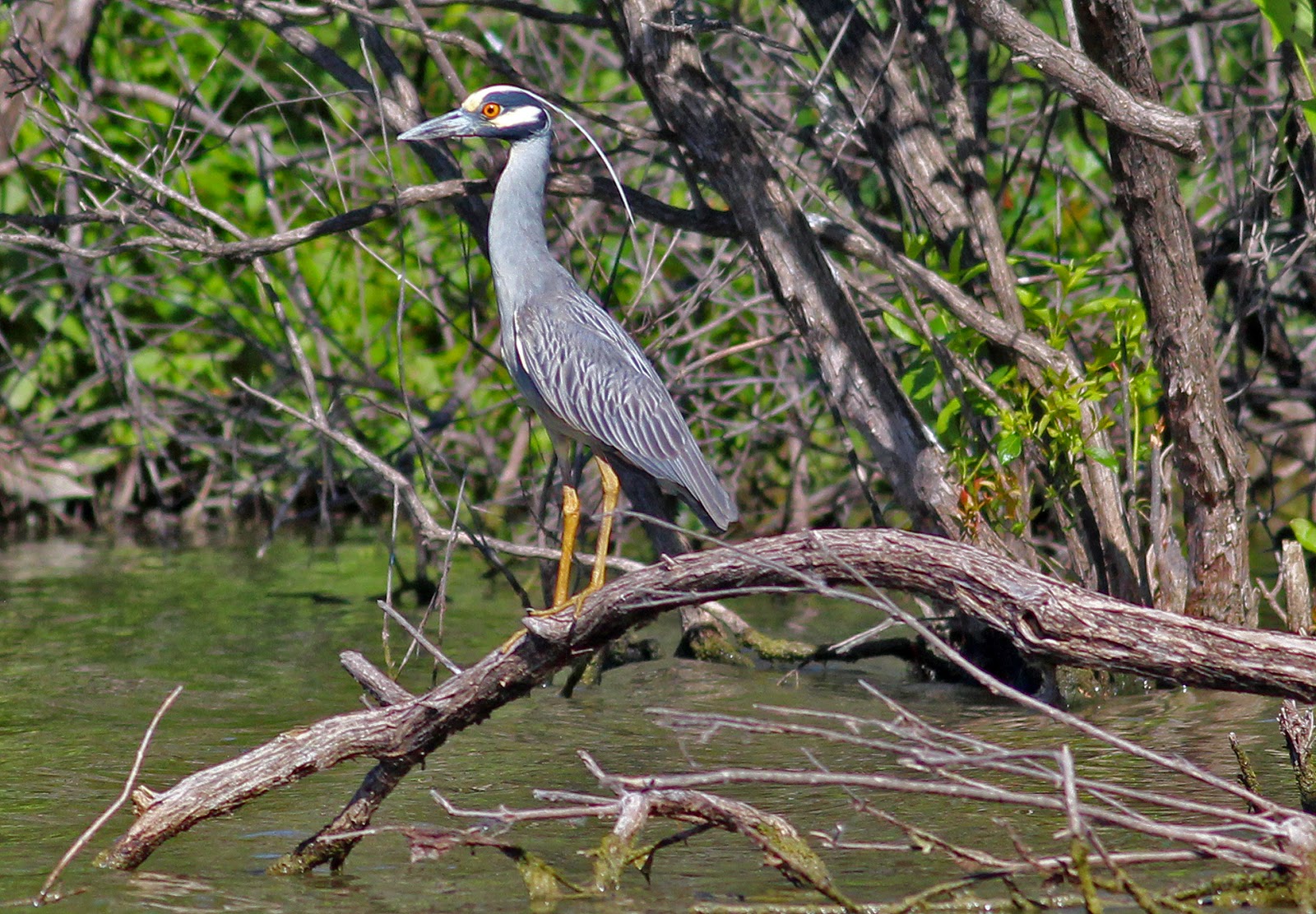
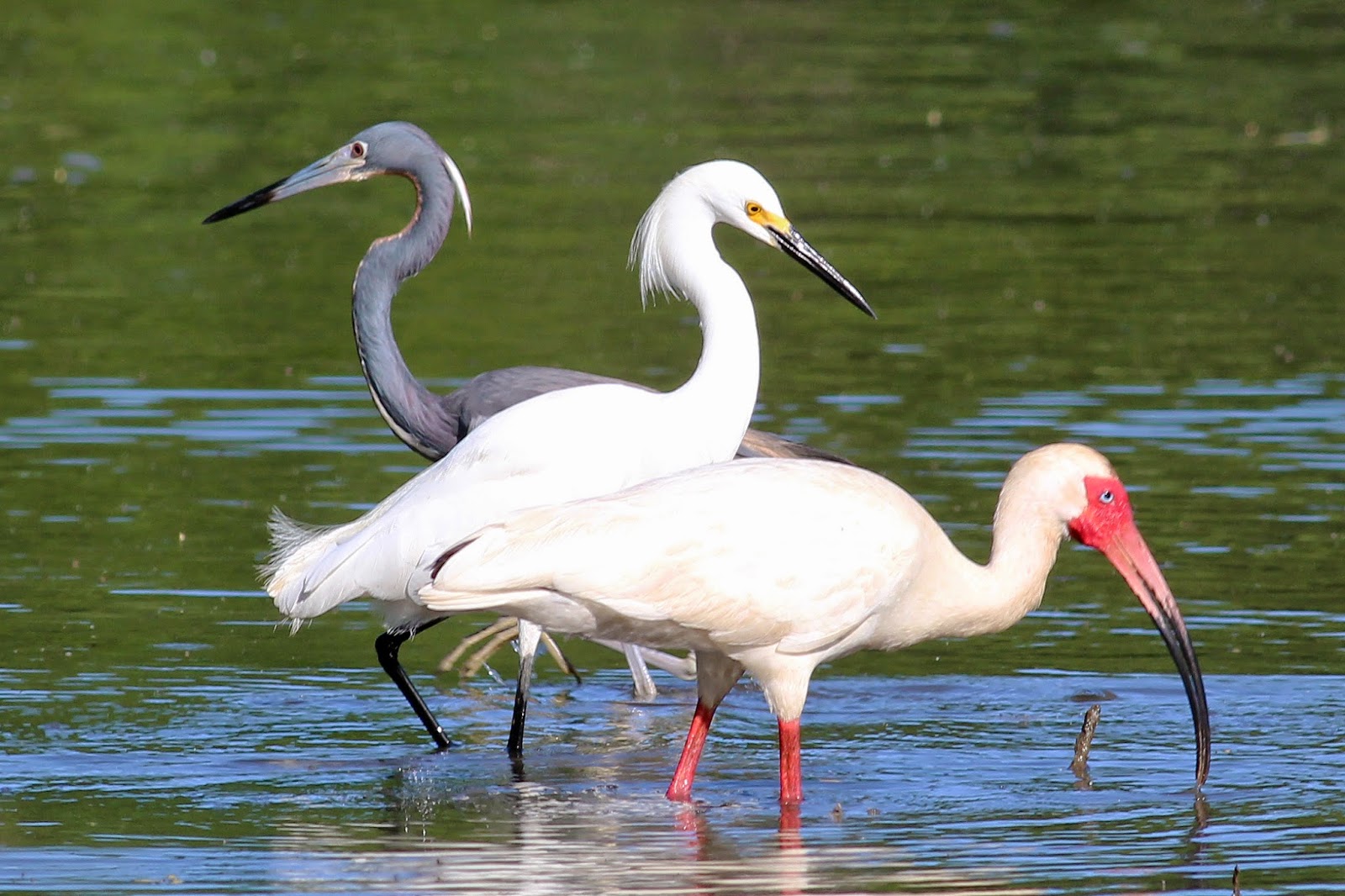
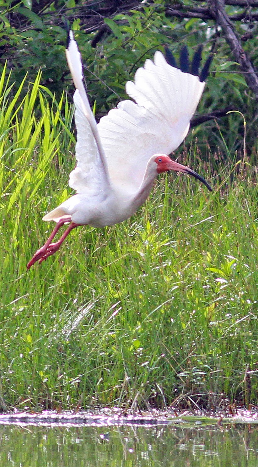
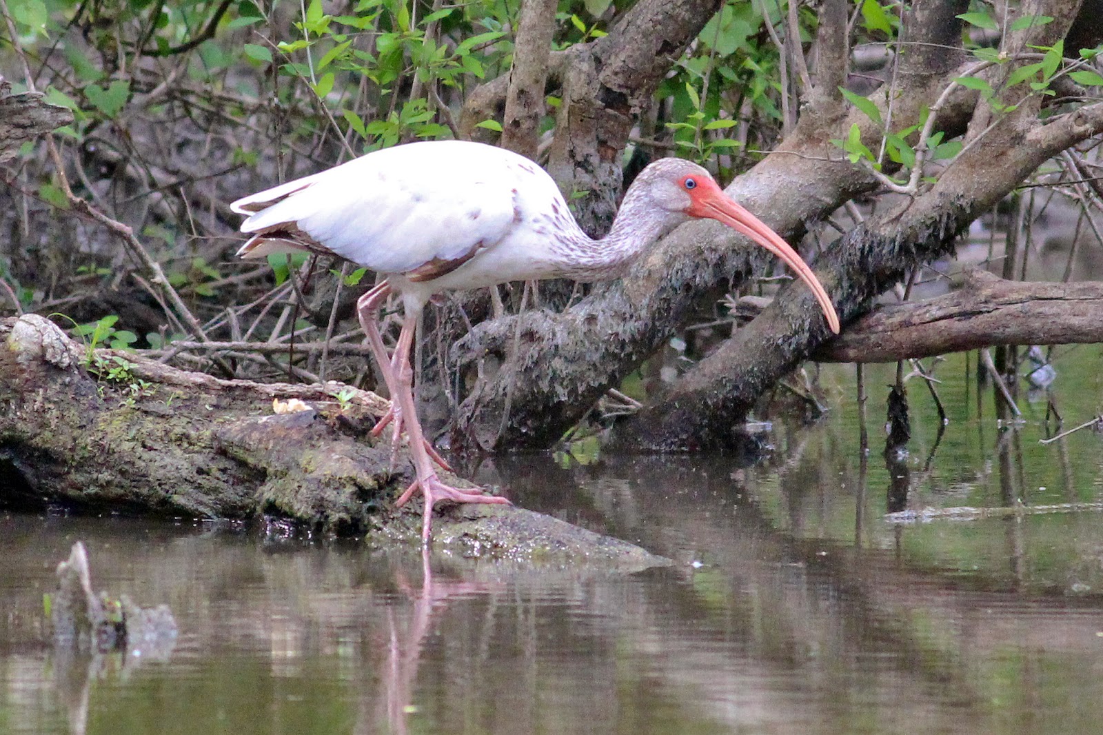
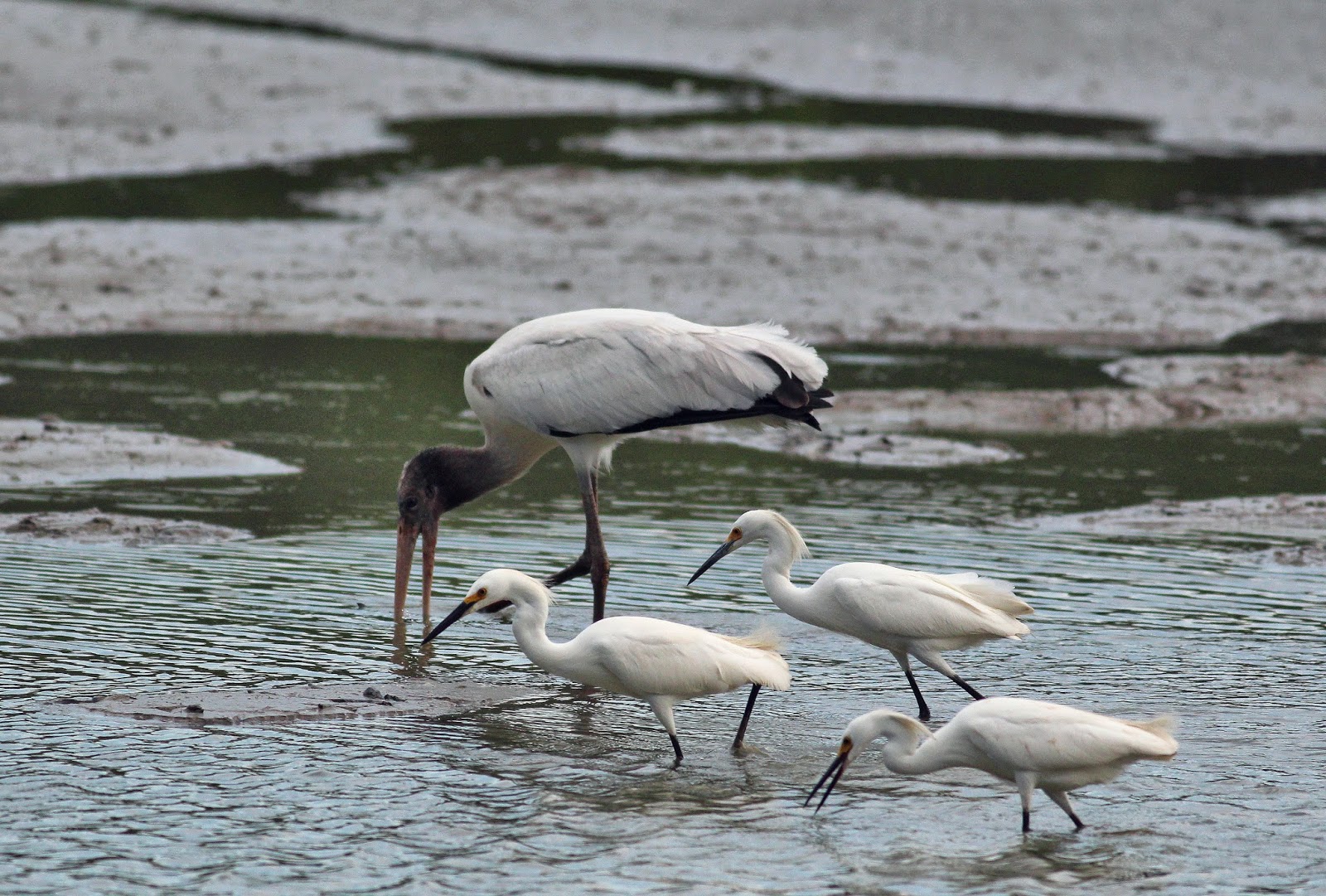
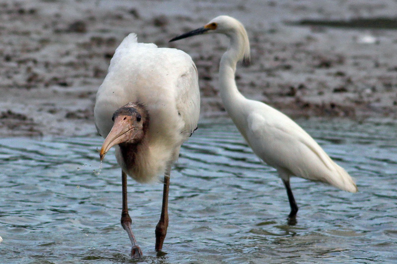
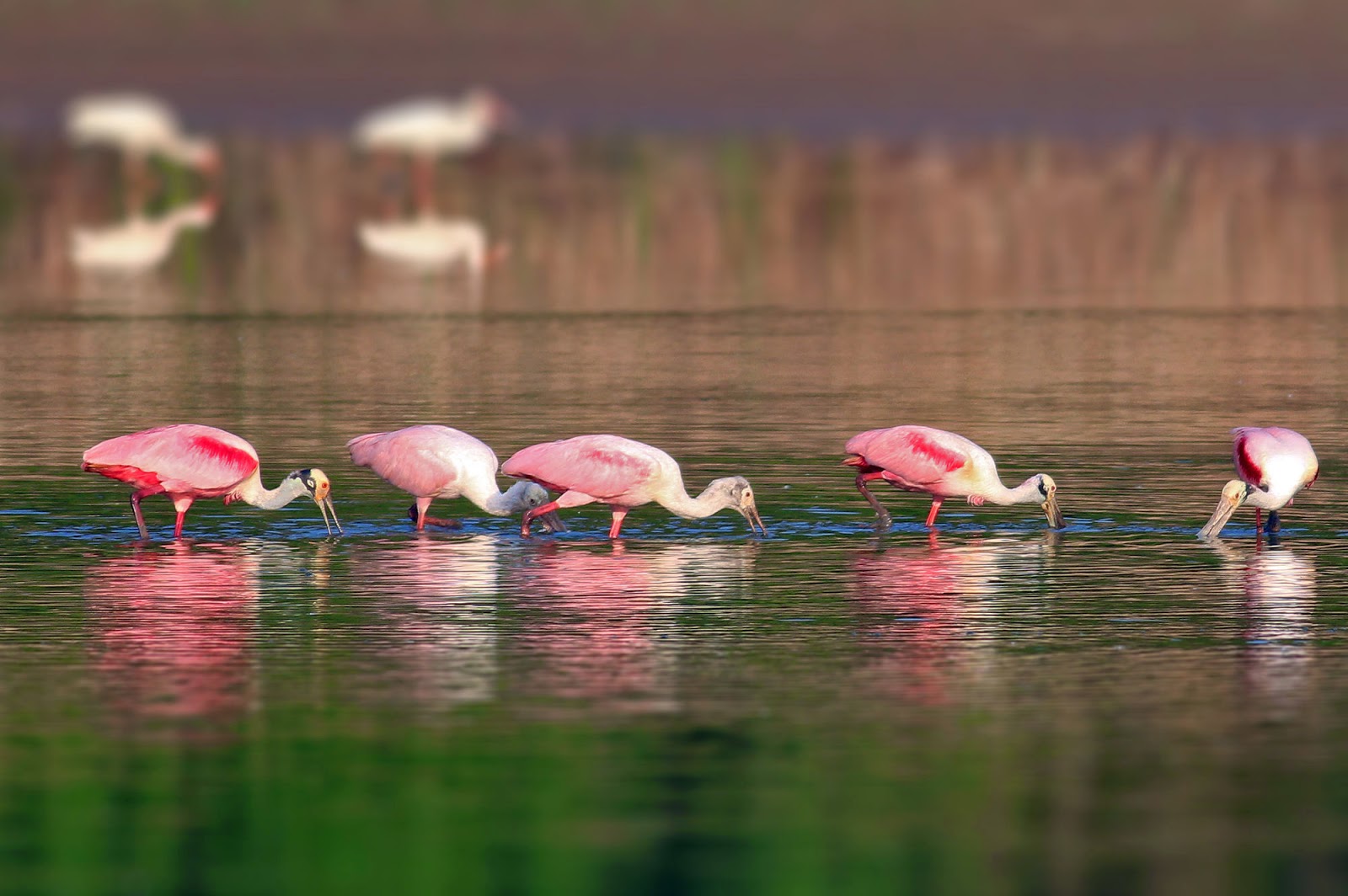
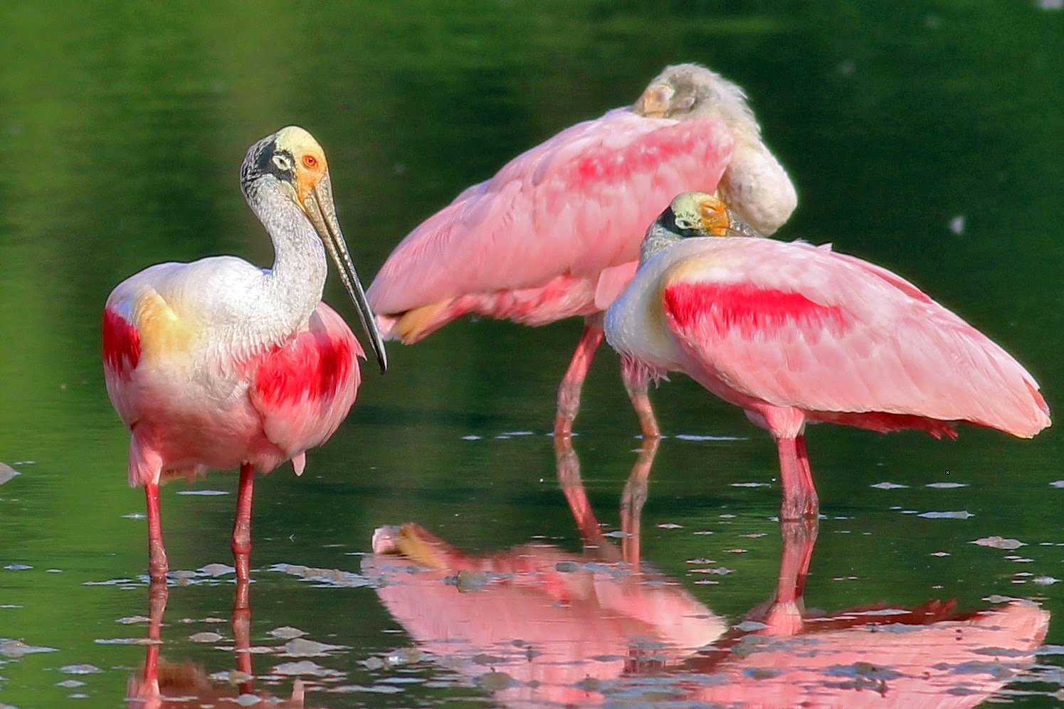
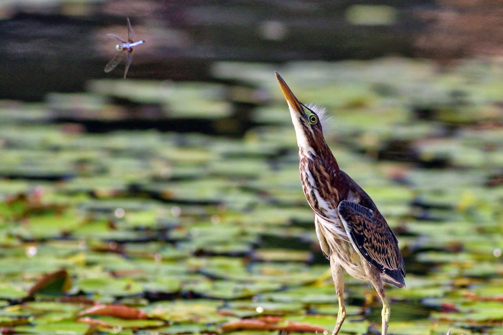
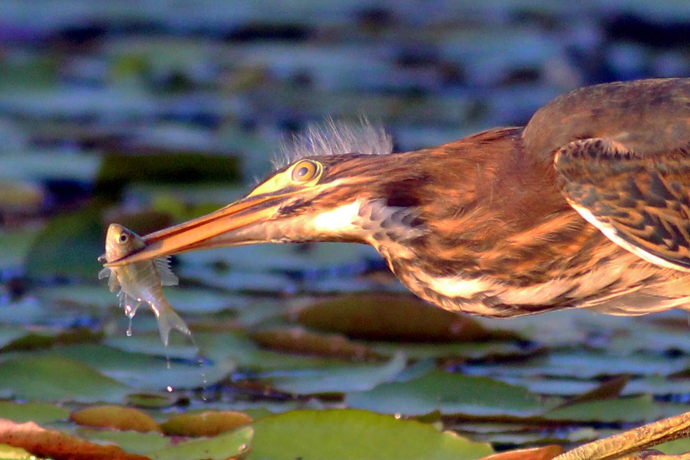
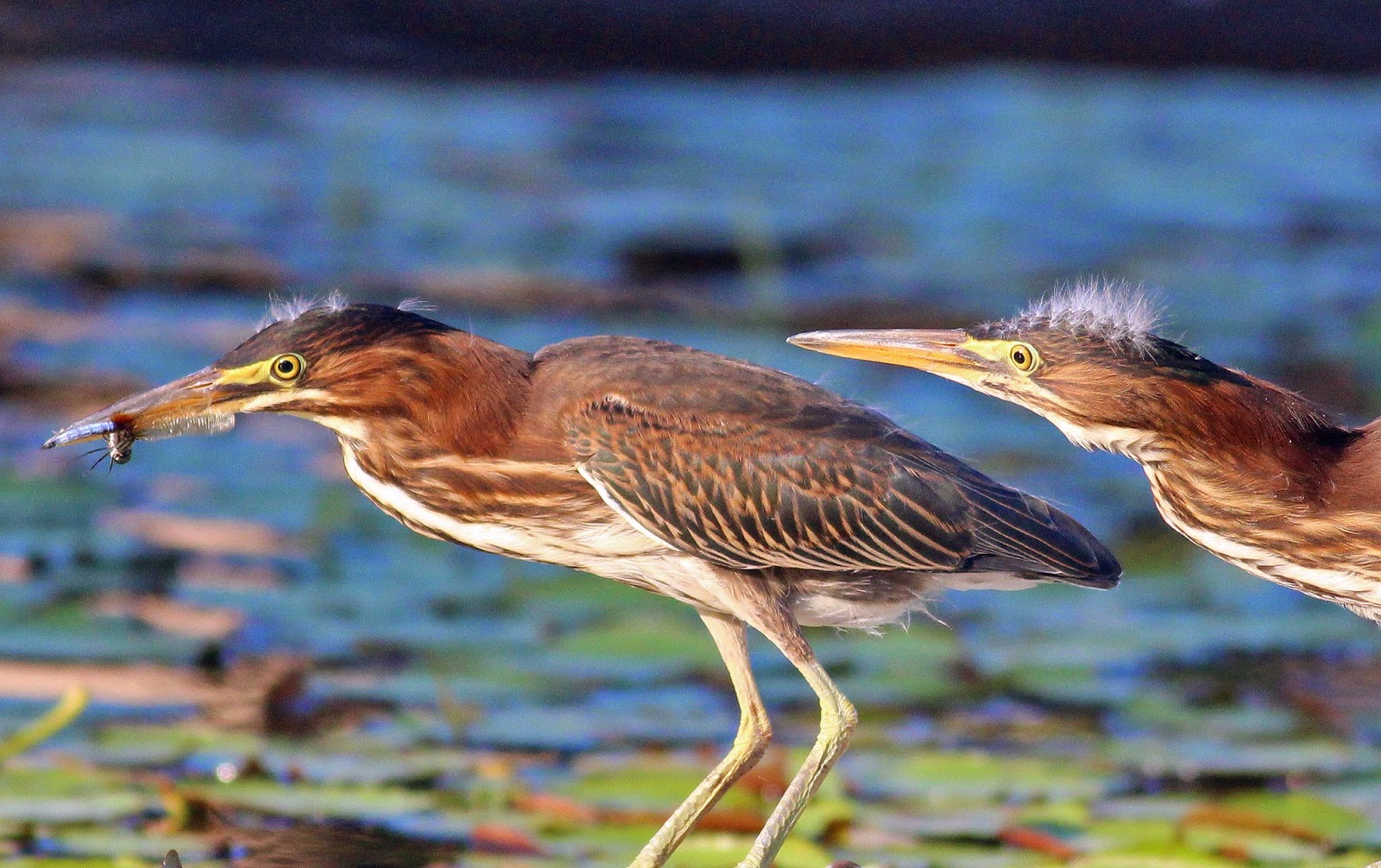
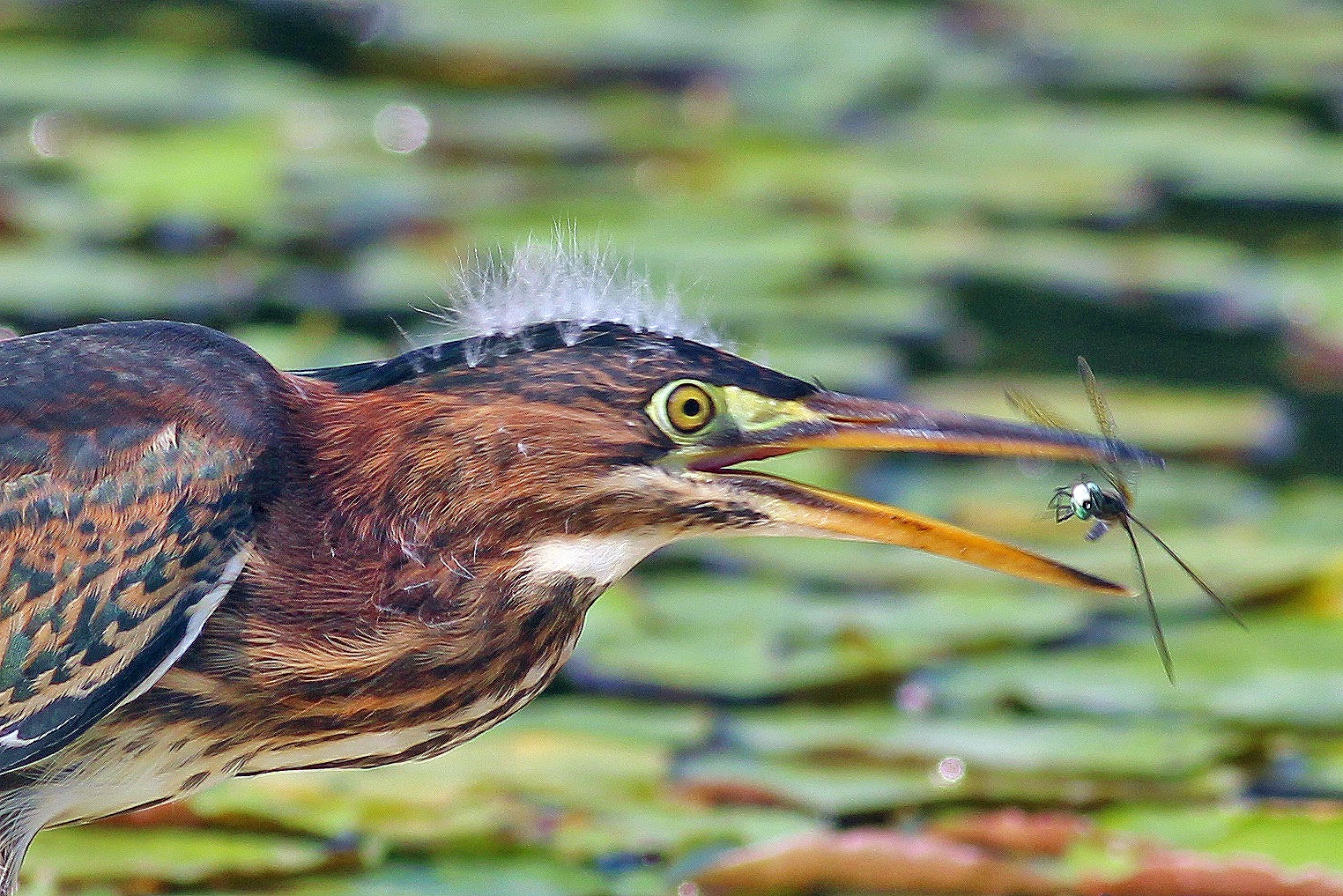
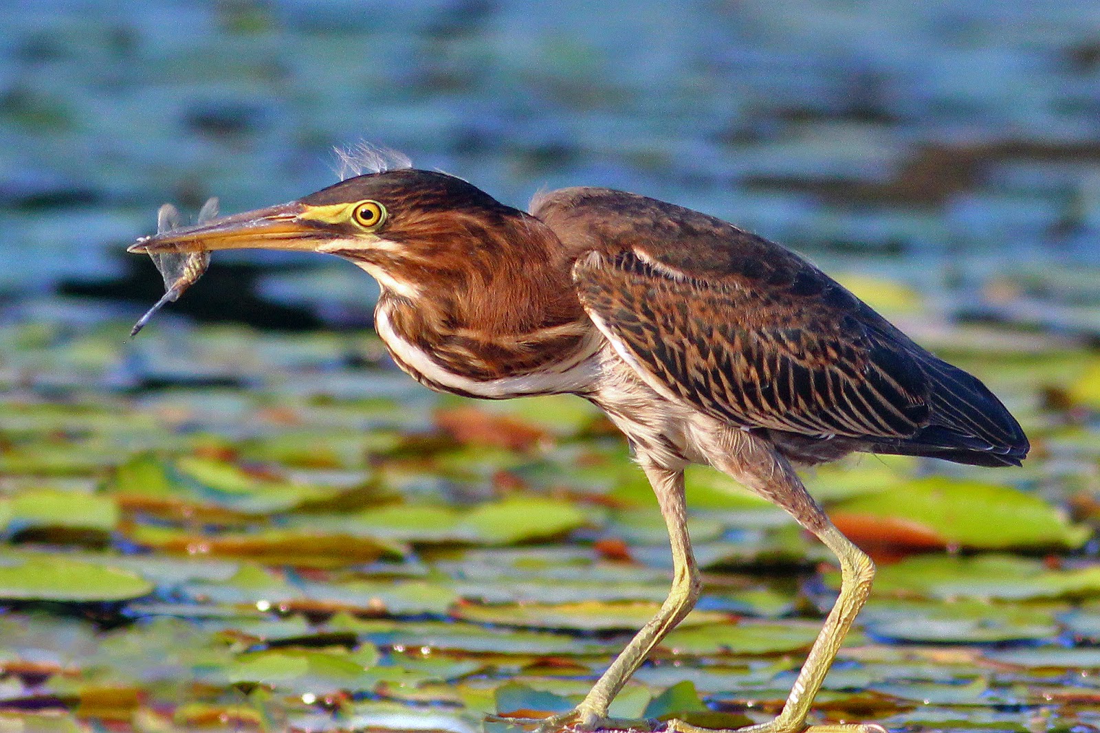
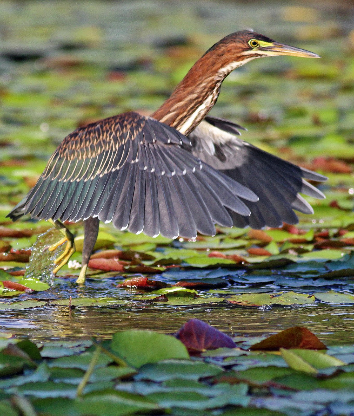
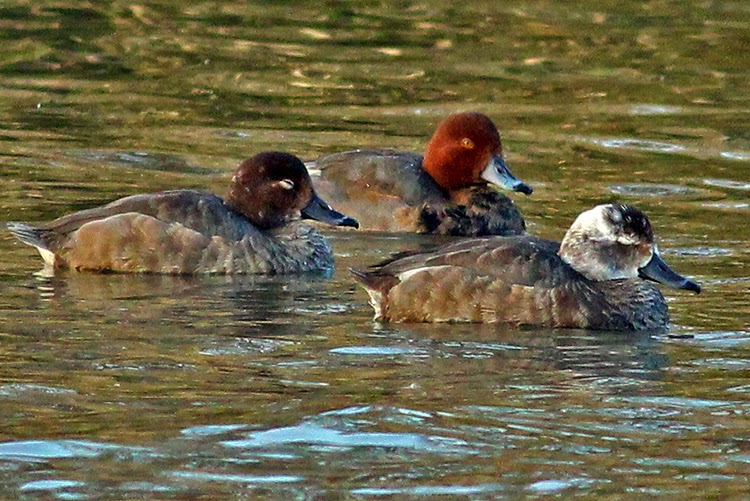
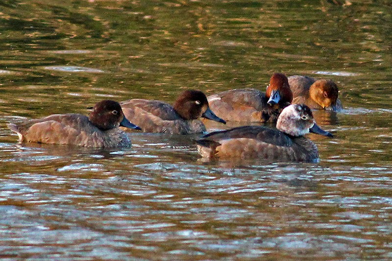
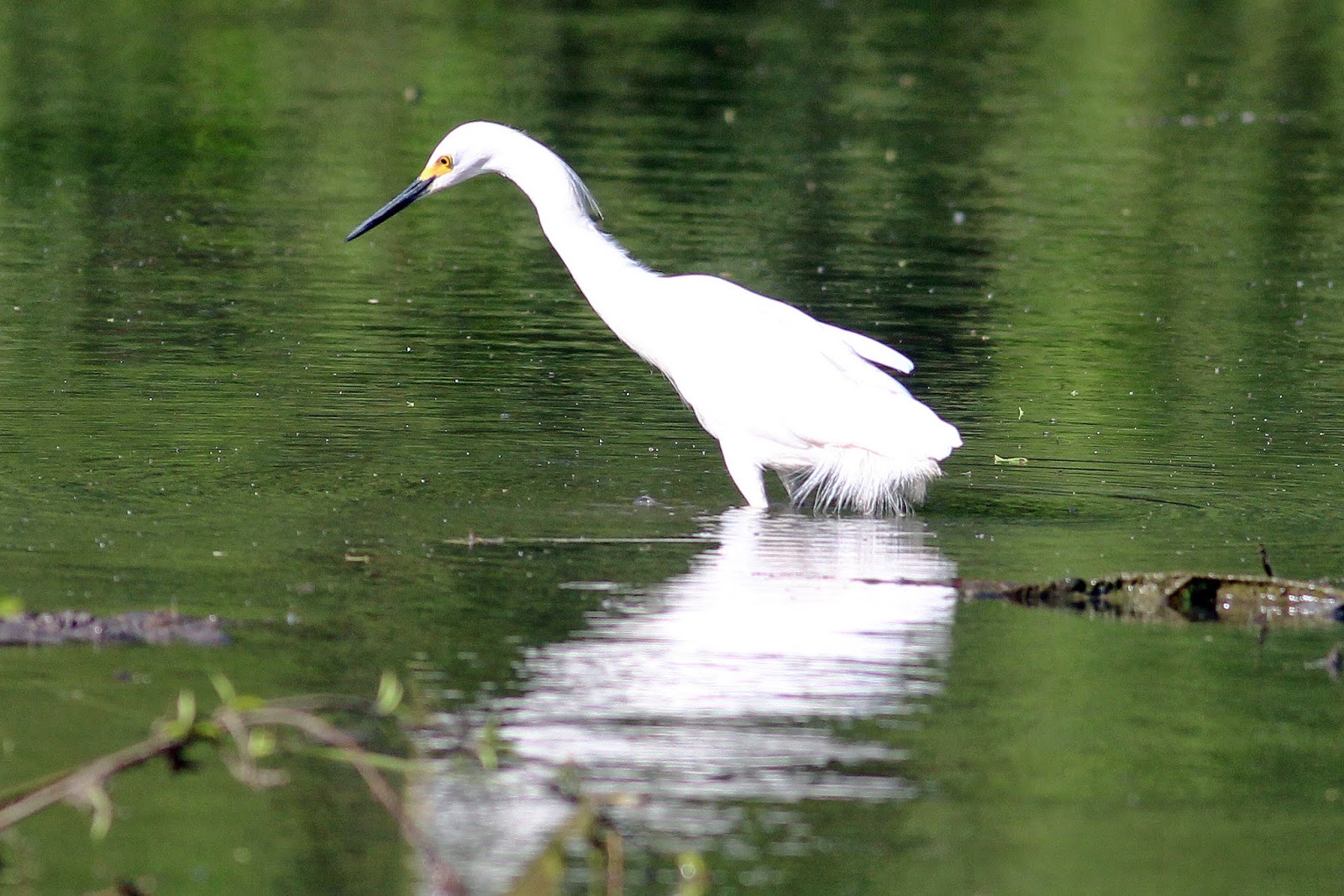
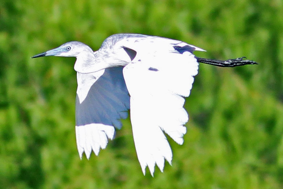
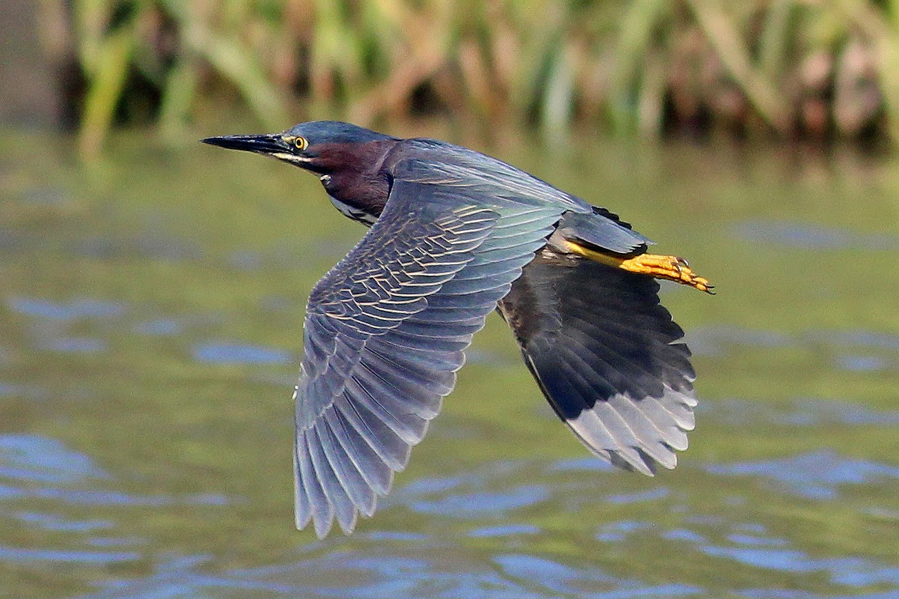
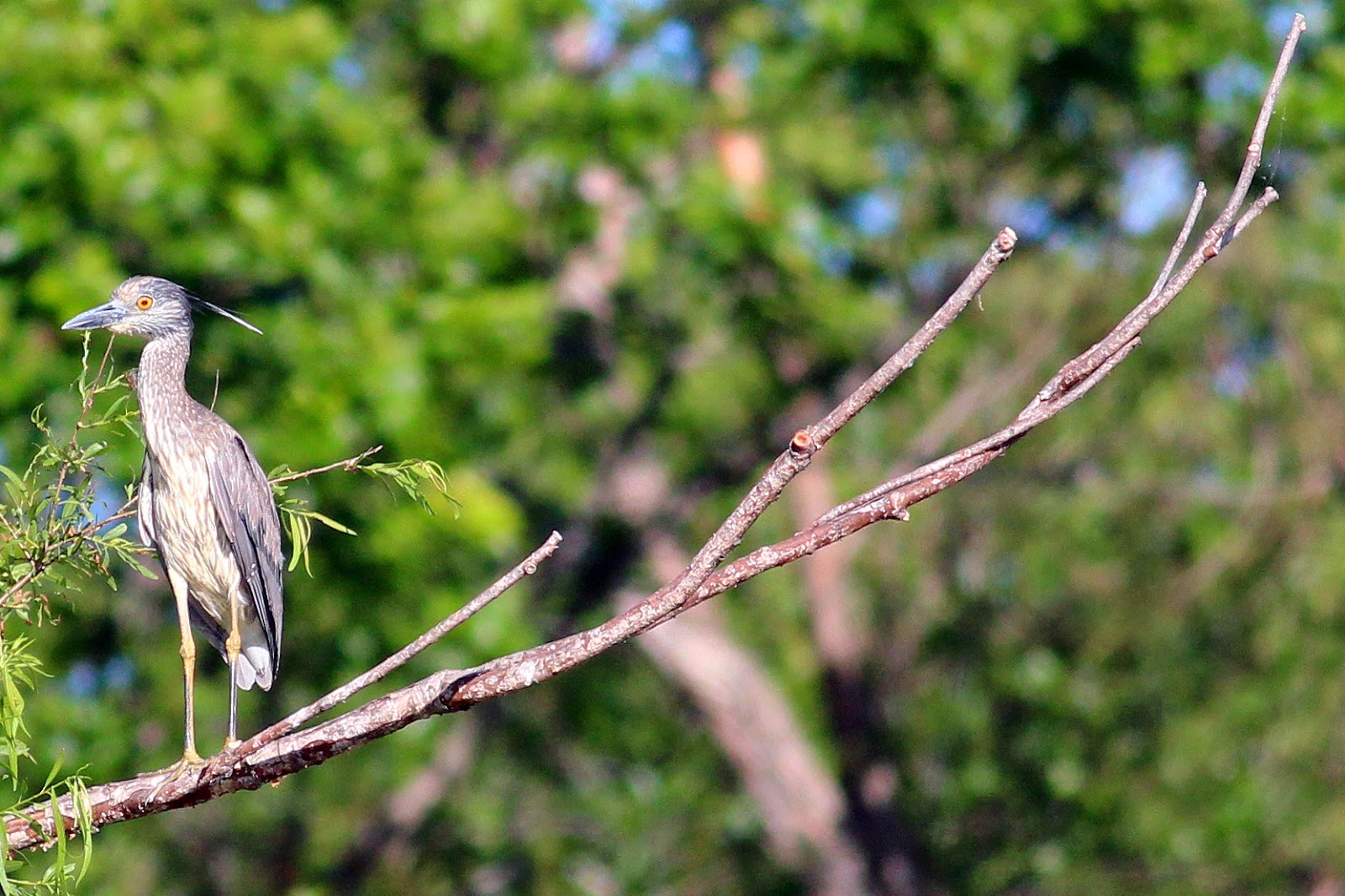
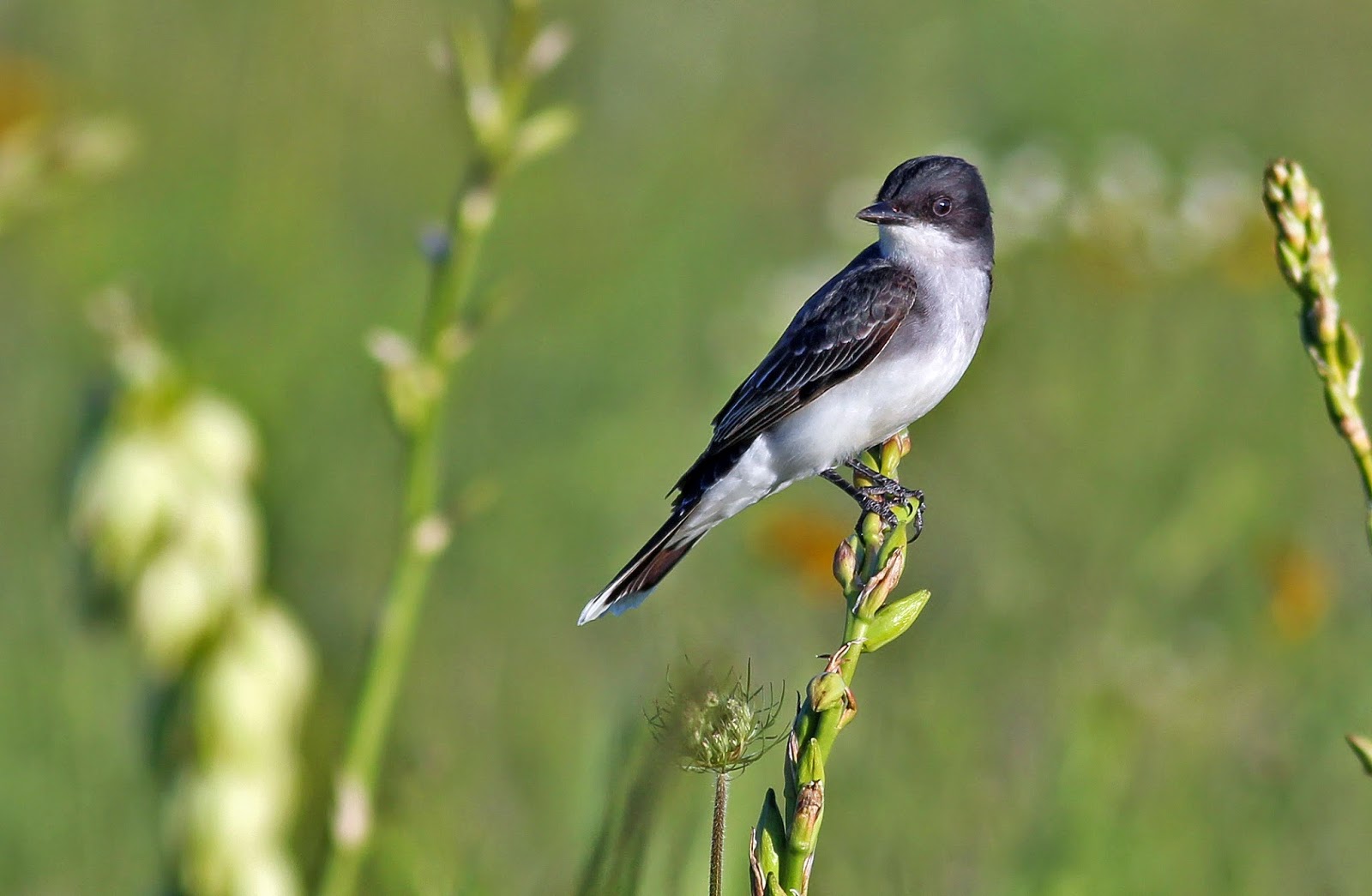
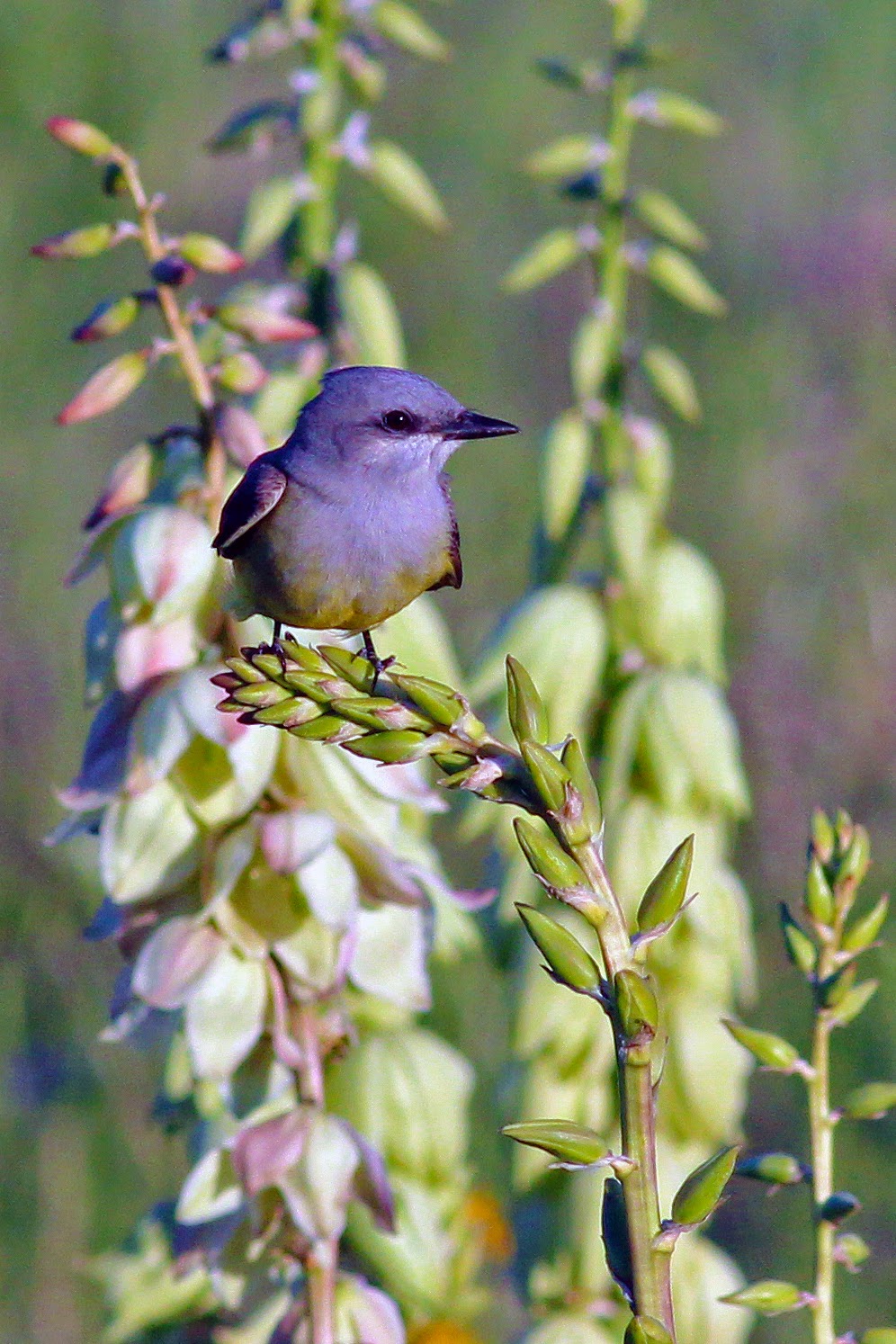
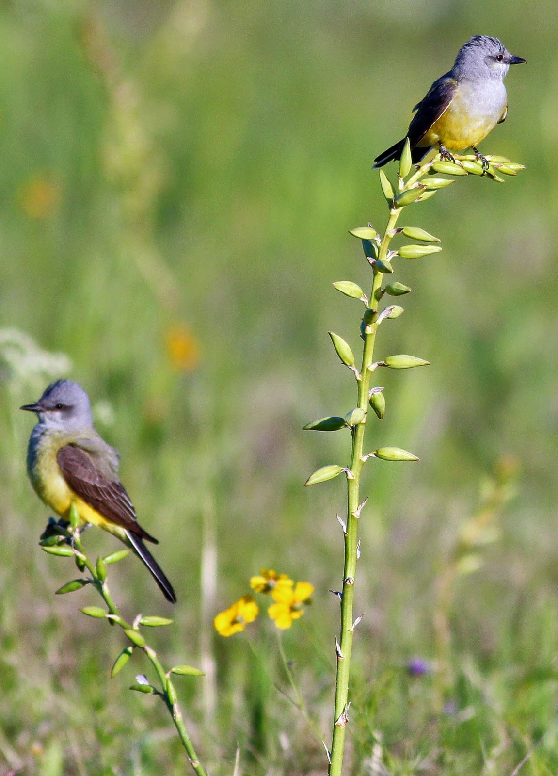
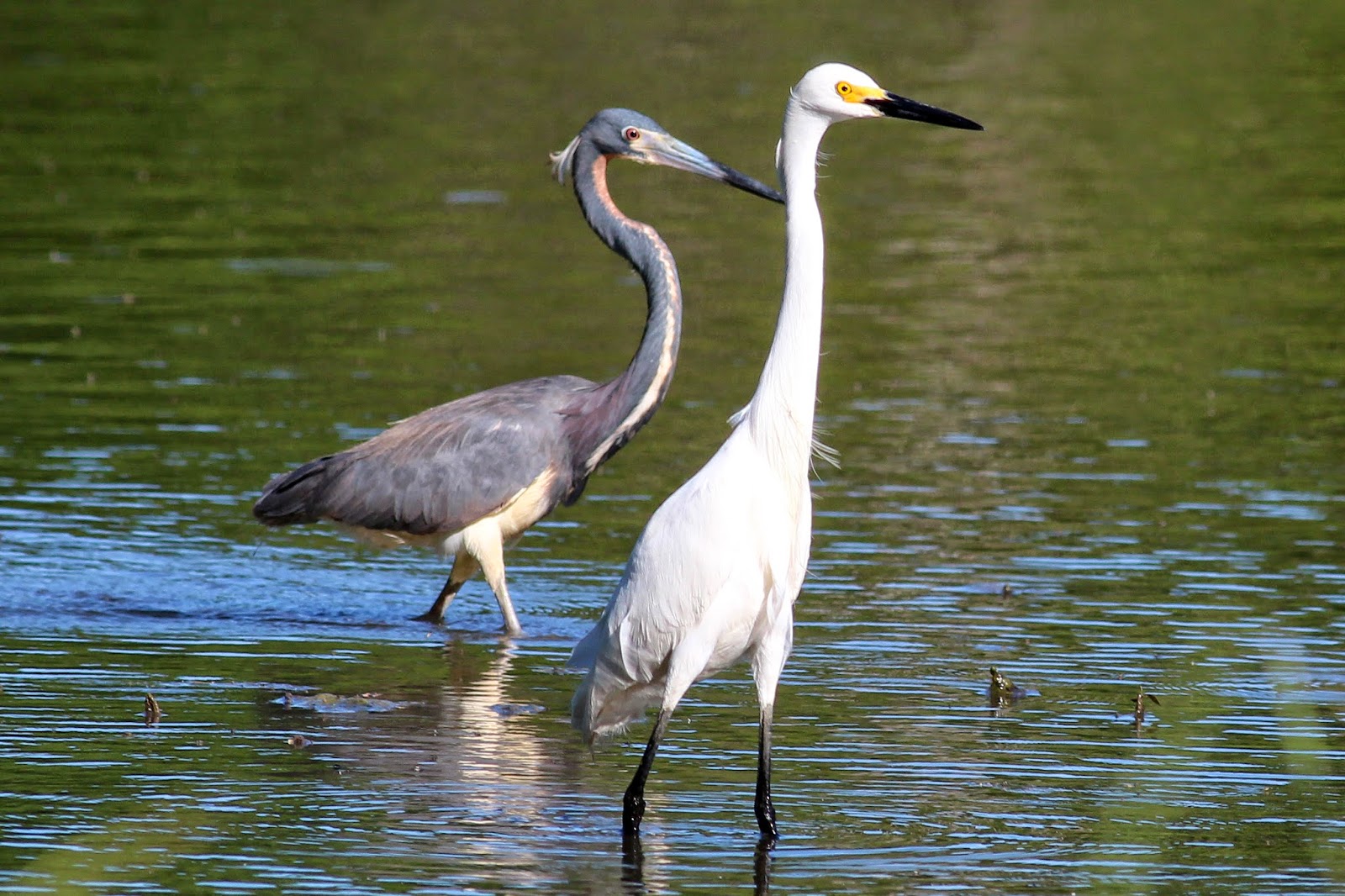
Autumn Fall Color at Scyene Overlook And Beyond

$
0
0
The bold and vivid colors of a Texas sunset over the Great Trinity Forest as seen from the Piedmont Ridge Overlook in Dallas, Texas November 2014
The prolonged drought in Texas coupled with early frosts have brought a different kaleidoscope of color to the Great Trinity Forest's Piedmont Ridge in 2014. The orange and red hues of the oaks on the thin soils commanding the view of the ancient White Rock Creek Valley are as spectacular as ever. The pecans, walnut and ash trees wilted quite quick in retreat due to early cold. Their traditional mustard yellow hued leaves are absent this year replaced by earth toned browns.
At the Piedmont Ridge Overlook twenty minutes before sunset November 2014
The overgrown and abandoned Gateway Trail Kiosk near Renda
2014 was a rather short and dry growing year in the Great Trinity Forest. A very cold and bitter winter of 2013-2014 stretched into April with cooler and drier than normal temperatures. The result was a late spring with a muted wildflower bloom.

Further into the season, the lack of rains manifested itself in fewer fruit and nuts on area trees seen in the pecan and oaks that dominate the landscape.

As recently as 4-5 years ago there was a spiderweb of trails in the park system here that allowed first time users to easily navigate to points of interest and overlooks. Those trails are quite overgrown or blocked by dead fall now. The epic October 2, 2014 storm that struck Dallas also hit the northern Great Trinity Forest head-on. Many trees on the terraces weakened in the drought fell, shed branches and limbs in the wind.
Thick stand of cedar which even on a sunny day barely allows sunlight to penetrate the forest floor
Scyene Overlook From Grover Keeton Golf Course

Getting to this area is quite easy. Bounded on the north by historic Scyene Road and the south by Lake June one can get here from US 175 or I-30 quickly from Downtown Dallas.


2300 Jim Miller Road Dallas Texas
Best parking will be found near the address above or at the parking lot for the Grover Keeton Golf Course across the railroad tracks.

When maintained the Lower White Rock Creek Trails are comprised of a roughly 3-4 mile(depending on route) soft surface trail network spanning three different City of Dallas Parks. JJ Beeman/Scyene Overlook on Scyene Road, Grover Keeton Park which includes Piedmont Ridge Trail and Devon Anderson Park south of Bruton Road. Many of those trails are hampered by blowdowns and overgrowth this year. First time visitors might not be able to find the unmarked entrances.

Towering oaks in the floodplain areas around Oak Creek which forms the watershed below the escarpment before draining into White Rock Creek
The climb to the high points and overlooks of the hike are still visible. Start in the Oak Creek drainage near Grover Keeton. One can start hiking this section of trail either from the right field foul line of the softball field at Gateway Park or on the west side of the DART Tracks at the Grover Keeton Golf Course where a Gateway Trailhead marker exists on the far north end of the parking lot. The Grover Keeton Trailhead in the golf course parking lot is overgrown but the sign still stands.

Vivid colors of oak and elm contrast the deep blue sky in the bottoms below Scyene Overlook
The trails are comprised of a random mix of paths with no clearly defined start or finish. Over the last couple years, trail maintenance has fallen off and as a result some of the sections might be a puzzling adventure to find. The trails are all still there just more faint in appearance for a novice visitor.


Oak Creek has a great influence beyond the escarpment here. It becomes a fundamental component to the lifeblood of the Great Trinity Forest by providing slow moving water that funnels into an area around Roosevelt Heights. The area is core habitat for beavers and otters who have large populations down there. Oak Creek also picks up the outflow of the natural spring Big Spring before joining White Rock Creek in Rochester Park.


Roughleaf Dogwood Cornus drummondii

Scyene Overlook

The trail up to Scyene Overlook is a confused jumble of poorly built old trails and equally poorly built newer ones that were designed to mitigate past problems. Having been here dozens of times, even I still get turned around trying to take the right path up.

Best advice is head northwest from Jim Miller @ Grover Keeton Golf Course and head towards the higher points seen in the distance. Just keep heading towards Scyene Road and follow the more worn trails. You'll hit some dead-ends and loops that double back. Chalk it up as fun.


Scyene Overlook is named for an old frontier settlement two miles east of the overlook named Scyene. The town center was at the present day intersection of Scyene and St Augustine roads . The name "Scyene" is a play on the ancient Egyptian town named Scyene an old frontier outpost on the east bank of the Nile. Around 500 BC, the same time the Book of Ezekiel references the ancient Egyptian town of Syene (Aswan), some ancient Native American left behind a Gary dart point(arrowhead) here on the bluff.

The knot of trails all approach Scyene Overlook from the southwest. Encountering fence posts, pickets and erosion control in a few spots the trail winds around to the northwest and eventually the north side of Scyene Overlook.

Scyene Overlook as seen looking south
A thin veneer of soil noted as the Eddy Brackett sits atop the high ground in this area. This soil was once common in a belt that stretched through Pleasant Grove, East Dallas and Lake Highlands. Paved and developed long ago very few places still exist to find these plants.


The focal point this time of year is of course the Red Oaks along the escarpment. Along the White Rock Escarpment through Dallas to San Antonio there are hybrids of Texas Red Oak Quercus buckleyi (Q. texana) and Shumard Red Oak, Q. shumardii. Smaller in size than most Red Oaks we Texans know so well, these trees thrive in alkaline soils and are very drought tolerant.

There is a close relationship between Texas Red Oak and Shumard Oak. This has caused many botanical classification problems. The two trees may be listed as two separate species in some manuals, while some list Texas Red Oak as a variety of Shumard Oak.

The colors that the trees exhibit in the Texas fall are a sight to behold. Using a polarizing filter in some of these photos takes the white shine of the leaves off and brings to true color of the leaves out. The intermittent sun and cloud cover changed the coloration of the trees from one minute to the next.


Piedmont Ridge

Oaks in the distance to the southeast as viewed from Scyene Overlook

Piedmont Ridge is slightly higher than Scyene Overlook. The long ago built trail along the topographical high is reached by navigating back across the Scyene Overlook escarpment across the driveway entrance of Grover Keeton. Heading south with Jim Miller on the left and the DART tracks to the right, one will find a trailhead kiosk and trail entrance.


Piedmont Ridge Trail looking south atop the level ridge
This is an easy section of trail to hike since much of the distance is atop the ridge. Some short and steep switchbacks climb quickly onto a level topped ridge with a set of cedar hewn benches roughly 2/3'rds of the way towards Bruton Road.

Beyond Bruton Road is yet another stretch of trail that has all but gone to seed. A lack of use, poor design and no maintenance has led to a trail that is treacherous in places and difficult to navigate if one has never been there before. The better trailhead to access this area is the southern anchor of the once existing trail.


Southern Trailhead at Devon Anderson
1700 Eastcliff Dallas Texas
This entrance is on the southern end of the trails. The City of Dallas actually wrongly installed the city park sign for Devon Anderson Park here, the sign reads "Devon Cr", assuming Devon Circle as the name of the street. Park at the wrongly installed sign(hey I called them about it and they never fixed it) and head back into the woods where a playground area once stood due west. Pick up the trail and head north.
Bare limestone area in Devon Anderson that some call the Comanche Storytelling place
The southern entrance is the best spot to start if one has never been here before. The issue parking other places to the north is that one will not be able to pick up the trail south of Bruton Road. Better to head from south to north, noting the southern Bruton entrance.

Up until recently at the first trail junction there were a couple trail signs noting the Comanche Storytelling Place to the south 1/10th of a mile and a scenic overlook some 1/4 mile to the north.

The Comanche Storytelling place serves as a prominent anchor to the southern end of the trails here. Beyond are steep root strewn gullies that lead nowhere to the south and west. The Comanche Story Telling Place at Devon Anderson Park has been identified by the Comanche Nation as a sacred holy ground. The Comanche nation tells us that the natural limestone shaped amphitheater was believed to have been used by Native Americans in the area prior to European settlement.

To the north the trail built here running towards Bruton has become a problematic source of accelerated erosion. Built substandard in areas the path vectors water in ways that are detrimental to the slopes and benchcuts upon which it was built. The result is a rugged piece of trail not by design but by lack of design. The blowdowns and trees across the trail are numerous from the October storm. As a result I would not recommend it for hiking.

Texas Redhead Leucistic Duck in the Trinity River Bottoms

$
0
0
A Redhead Duck hen showing strong signs of leucism in Dallas Texas Trinity River Bottoms
Ducks as a general rule are so uniform is size, shape and coloration that it is impossible to tell one member of a flock from the next. In the world of birds the ones that attract the most attention are usually the ones who become the target of prey. Bred out over countless generations the genetic differences are muted to the point that all birds to humans or predators look identical. It is a rare sight to see a bird with different coloration.


Redhead Ducks, males with the color plumage
Beyond. Beyond the places where the bulldozers dare not plow. Beyond the places where the water becomes too expensive even to drain for free. Beyond the places where even the most hardened hiker turns back are a few last refuges where wildlife still thrives. It won't be here much longer.

It is here, far from prying eyes and the chainsaw's song where one can find the seldom seen birds that fly through North Texas on their way to the Texas Gulf Coast.

Many use the Trinity River as a highway of sorts, the fairly unbroken swath of greenbelt stretching from roughly Bridgeport to Trinity Bay. Redhead Ducks are one such species that migrate through this part of the state to the Gulf of Mexico in what is known as the Central Flyway.
At far right a female Redhead Duck with a white feathered head
Biologists on the Texas Gulf Coast estimate that a large percentage of the North American population of Redhead ducks overwinter on the coast. Of those it has been estimated that less than 4 percent of the female Redheads can exhibit a relatively obscure form of what appears to be leucism unique to this species.

In leucistic birds, affected plumage lacks the color pigment called melanin due to the cells responsible for melanin production being absent. This results in a white feathers, unless the normal plumage color also comprises carotenoids (white/yellow coloration), which remain unaffected by the condition. Although leucism is inherited, the extent and positioning of the white coloration can vary between adults and their young, and can also skip generations if leucistic genes are recessive.

This condition is quite different from albinism and in regards to Redhead ducks and might be more of a rare feather plumage of the species rather than true leucism. Confused? You should be!

Very little is known about how some Redhead hens develop their white feathers. Other species of pochards which are diving ducks like Scaups, Ring Necks and Canvasbacks do not exhibit the same coloration differences. The rarity of such a duck yields very few photographs on the internet.

Redhead Duck

The Redhead Aythya americana is a diving duck and a member of the pochard family of ducks. It searches for aquatic vegetation in muddy shallow areas of water. Inhabiting in shallow freshwater lakes, ponds, marshlands and coastal waters in the summer months in Canada it migrates to the Gulf Coast for winter months. In both locations it may eat mollusks, aquatic insects, and small fish.

The typical Redhead is 18-21 inches in length with a wingspan of 29-31 inches. It has a rounded head and a grayish-blue bill with a black tip. It has grayish-blue legs and feet and a gray stripe on its wings. The male has a copper brick colored head, a gray back, and a black breast and rump. The female is a grayish-brown on her back, sides, and wings. She has a lighter grayish-brown belly.

Like most diving ducks, the redhead's legs are set back on its body to help it swim and dive. It is awkward on land, and it has to run across the water to take of in flight. The male has a cat like meow-like call, and the female makes a squawking sound.

The rare sight of such a colored bird like a white headed Redhead is a cherished opportunity to highlight the need for true wetland preservation in Dallas County. The diversity of Great Trinity Forest animal and plant life depends on these prairie pocket hole ponds for their habitat. Being drained and repurposed for development at an alarming rate reduces the quality of the river as a whole.

Texas Water Conservation In Focus At Big Spring

$
0
0
Salon in the Wild at historic Big Spring with Andrew Sansom (center)  Executive Director for The Meadows Center for Water and the Environment. Left to right TPWD Biologist Brett Johnson, Wildlife Biologist Becky Rader, Andrew Sansom, TPWD Biologist Derek Broman, Texas Stream Team DFW Coordinator Richard Grayson.
Historic Big Spring located in Dallas, Texas deep in the heart of the Great Trinity Forest has drawn distinguished Texans for centuries to what has become one of the last remaining natural springs in Dallas County. From the first President of the Republic of Texas Sam Houston to the residence of Dallas founding father John Neely Bryan it is a fitting site to host a late afternoon walkabout with one of Texas leading conservationists and water advocates Dr Andrew Sansom, Executive Director for The Meadows Center for Water and the Environment. He is also the former Executive Director of the Texas Parks and Wildlife Department.

Master Naturalist Richard Grayson invited Dr Sansom ahead of a planned speaking engagement at the Trinity River Audubon Center. The trip from the airport to the Audubon Center included a visit to Big Spring and walk with DFW biologists through one of the great wildscape spots inside the heart of Dallas.

Big Spring
Big Spring in the cool foggy weather of December 3, 2014


One of the only natural springs in Dallas,  Big Spring flows at a steady temperature year round with crystal clear and clean water. The land surrounding it features centuries old trees and a large Native American archeological site known as 41DL72. The ancient waters of Big Spring flow directly out of Ice Age sands in the Great Trinity Forest. Water dated to the Late Archaic. Water so clear that in photos it looks invisible to the eye.
Watercress growing across a blanketed bottom of oak leaves at Big Spring

Arrowhead leaves poking through the water at Big Spring
Annually, this vent and several others put 12 million gallons of fresh and clean water into a network of streams in the Great Trinity Forest. The water is the lifeline for the woods here. It forms the fundamental foundation that influences the great swath of biodiversity below the source.

Big Spring is an oasis of natural tranquility in a difficult neighborhood. The acute nature of blight in the zip code coupled with increasing misadventures in new construction adds to the spirited conversation of how Big Spring and the aquifer that supplies it remains viable for generations to come.

In 2014 alone, the City of Dallas has removed thousands of trees for private construction purposes in the public parkland known as The Great Trinity Forest, illegally drained wetlands subject to sanction by the TCEQ and EPA. Now they are draining the same shallow aquifer for construction activities that shares the geology with Big Spring. The high residency times for water in the shallow aquifer suggest that the rate of recharge is quite slow.

Texas Stream Team Water Monitoring At Big Spring
Texas Stream Team Coordinator Richard Grayson points out the key features to Big Spring with Dr Sansom looking on. Texas Parks and Wildlife Biologist Derek Broman on opposing shore
Knowledge and making informed decisions on the health of our waterways and waterbodies is only as good as the data collected. The importance of  tests and monitoring is designed to establish a baseline for future decisions that will impact the area for generations to come. Starting a couple years ago the avalanche of data regarding the spring and surrounding area now exceeds 7,000 pages of documents and is growing at an exponential rate.

The Texas Stream Team is based at Texas State University and is affiliated directly with The Meadows Center for Water and the Environment. The Stream Team is a partnership of agencies and trained volunteers working together to monitor water quality and educate Texans about the natural resources in the state. Established in 1991, the team is administered through a cooperative partnership with Texas State, the Texas Commission on Environmental Quality (TCEQ) and the Environmental Protection Agency (EPA).

Statewide more than two thousand volunteers are trained to collect water samples according to a water quality plan approved by TCEQ and EPA. The monitors make field observations and analyze
the samples for dissolved oxygen, pH, specific conductance, Secchi depth transparency, temperature, and E. coli to assess the quality of aquatic life and contact recreation conditions of the water.

The December 2014 edition of Texas Parks and Wildlife Magazine has a great writeup on the Texas Stream Team and the work done to highlight water quality concerns at places like Big Spring.

Since water monitoring began at Big Spring, volunteers have logged more than 150 hours of work. Many have assisted in testing the water at Big Spring since inception. Boy Scouts, high school students and even Southern Methodist University Engineer's Without Borders have attended monitoring events at Big Spring. Water samples are collected monthly with on site testing for pH, dissolved oxygen. E.coli testing is done offsite at the offices of For The Love Of The Lake at Casa Linda.

Big Spring has two data testing sites in conjunction with the Texas Stream Team. The sites are
#80939 Big Spring Source
#80965 Big Spring Pond

One set of tests are conducted at the head of Big Spring using an 80cm copper pipe which is placed horizontally into the head itself under the bank. This allows for accurate testing for e.coli and limits the chance for any error.

An additional battery of tests are conducted in the pond itself. The pond testing site allows for a better gauge of dissolved oxygen in the spring, E.coli and general health of the environment in the vicinity.

The data collection as time goes on will establish clearer protocols for future activities around the spring site. While nearly 40 individual tests have been conducted between theses two sites, the data needs more points to form a valid statement on what makes the spring tick. One idea is a detailed aquifer study that would develop a hydrology model for this part of Dallas so that the spring can be better understood. 

Texas Parks and Wildlife Urban Biologists
Texas Parks and Wildlife Biologists Brett Johnson and Derek Broman talk to Andy Sansom of their great successes with their work in DFW. Their work and programs were greatly enhanced by work done by Dr Sansom as executive director of TPWD.
TPWD Biologist Derek Broman at right talks about bobcats and animal tracks
The Texas Parks and Wildlife Department's Urban Wildlife Program has Urban Biologists stationed in the largest metropolitan areas in Texas to provide urban communities with professional planning guidance, management recommendations, research and public outreach associated with wildlife, habitat and natural resource management.


TPWD Biologist Brett Johnson talks about conservation efforts at Big Spring and the wildlife diversity as he walks at Big Spring with Andrew Sansom left and Richard Grayson center
It is always fascinating to watch professionals at the top of their game share their insights into their work with colleagues in their field. The field trip to Big Spring was no exception. Texas Parks and Wildlife Biologists Derek Broman and Brett Johnson really shone with some exceptional analysis of the spring and outfall areas in the woods beyond.

Both Broman and Johnson have been working on a variety of animal tracking projects that involve citizen engagement at the very core. Urban bobcat study is near the top of that list with detailed observations, game cameras and tracking programs. You can follow Derek Broman's projects on a website called inaturalist. Derek's bobcat study area is 49,000 acres bordered by SH 183 to the north, SH161 to the east, SH180 to the south and Interstate 820 to the west in what we call the mid-cities area of the metroplex. Derek was featured in a great piece in the Dallas Morning News by Ray Sasser this year about the project http://www.dallasnews.com/sports/more-sports/outdoors/20140503-trying-to-explain-more-about-largely-unseen-bobcats-in-d-fw-area.ece

TPWD Biologist Brett Johnson points out some areas in the coneflower field and treeline beyond where the Big Spring Wildfire burned their hottest in July 2014
Brett Johnson also has a deep interest in wildlife with a long tenure in the 1990s working as the bear researcher at the world famous 200,000 acre Philmont Scout Ranch in New Mexico. His responsibilities included tracking, trapping and relocating problem Black Bears at the ranch. He also oversaw a variety of events at the ranch in the off season including the Ponil Complex Fire in 2002 http://www.lepp.cornell.edu/~seb/philmont-fire/index.html. He is a popular speaker with local community groups and is the go-to guy when someone reports a mountain lion, bigfoot or chupacabra in their alley.

Bryan's Slough and Beyond
Becky Rader explains Bryan's Slough that is fed by Big Spring and drains into White Rock Creek
Wildlife educator and biologist Becky Rader was on hand to highlight the wide diversity of flora and fauna at Big Spring and beyond into the woods and out into a meadow area. The influence of Big Spring's water stretches far into the woods beyond allowing for an array of animals, shellfish and plants to grow into large populations thanks to the constant water source. Mink, river otter, beaver, raccoon and white tailed deer are well established in this area rarely seen but leave large amounts of tracks in the small gravel bars and flats of the slough.

Big Spring drains into the first order stream known as Bryan's Slough in this neighborhood(known also as Oak Creek to the north). From Big Spring the slough meanders south and southwest where it joins White Rock Creek near the mouth with the Trinity River. I often tell people that if you want to see what White Rock Lake looked like before a lake existed come see lower White Rock Creek.

Becky Rader has an extensive knowledge of the flora and fauna in this watershed. Her tireless efforts for preservation and restoration at White Rock Lake are seen by every visitor to White Rock Lake in the prairie hillsides and woods that surround the park. She has just authored a book on White Rock Lake's wildlife entitled Nature's Images Of White Rock Lake Park co-authored with the late George Boyd. Fascinating look at the amount of animals seen in that watershed and in such an urban landscape.
Bryan's Slough
During firefighting activities during the Big Spring Wildfire it was necessary to temporarily dam the slough so that firefighting equipment could cross. That dam was removed late summer and the slough, also known as Oak Creek now flows unrestricted by man. At different times the little Slough here can do the most peculiar of things. It is a quick stream to throw a temper tantrum and jump the cut banks after a cloudburst thunderstorm event. Hardly ankle deep in many spots it can rise with rains and carry all matter of poorly rooted willows and strand man and beast alike.
White Aster flowers in full bloom at the Big Spring meadow December 3, 2014
Beyond the slough, the fire damaged areas show little of the flames that swept across the land. The black soot stained ash trunks on the far edge of the meadow are now complimented with winter stands of tall White Aster flowers growing in colonies that dot the 15 acres of  wet meadow and woods. An unexpected sight after so many cold and frost filled mornings of late Autumn. I say from about this spot you are about as far away from concrete inside Loop 12 as anyone can find.

Edward Case Pemberton homestead site
From high spots on Pemberton Hill in the winter months one can see through the leafless trees a vista of Downtown Dallas beyond. As short five miles as the crow flies.

That vantage point sits on a humble piece of farm property currently owned for 135 years, come 2015 by the Pemberton family.

At this spot once stood a log cabin built in 1880. Land purchased from Margaret Beeman Bryan, the widow of John Neely Bryan, the founder of Dallas. Noted in a tilled area above. This spot served as a blacksmithing area for a dairy farm operation owned by Edward Case Pemberton.

The view at Big Spring has never really changed much in the last 135 years. Only the horizon beyond. What was once prairie and bottomland trees turned in that amount of time into one of the largest metropolitan areas in the United States.
From the Texas Historical Marker on the Dallas County Courthouse Square
It is in that city center, five miles distant that the Pemberton family name is boldly cast in metal, adorning a historical marker not 50 feet from Main Street on the county courthouse square. An old example of North Central Texas cabin craft stands on that spot, dedicated to the man whose widow sold Edward Case Pemberton land on what is now known as Pemberton Hill.
Billy Ray Pemberton, grandson of Edward Case Pemberton, standing at a cabin dedicated to John Neely Bryan, founder of Dallas, Texas. The plaque carries the Pemberton name of Gideon Pemberton a relative of Billy Ray.
Some driving through Downtown Dallas might glance over to the cabin and think to a time when man weighed lightly on the land, a time when there was lots of elbow room. When the water was clean to drink from the ground and the critters ran free. It's still here in Dallas, at Big Spring.

Water and conservation of the resource were of paramount importance to those first settlers to found Dallas. As the city grows ever larger and demands become greater, the fragility of Big Spring and places like it will take center stage. It is hoped on a state level that organizations like The Meadows Center for Water and the Environment can act as a guiding light in sound and reasonable decision making with regards to Texas most precious natural resource, water.

McCommas Bluff Nature Preserve Is Being Ruined

$
0
0


The before and after photos of McCommas Bluff Nature Preserve as they looked April 19, 2014 and February  8, 2015. The devastation is wholesale to a wet meadow area known for spectacular wildflowers.

A Great Trinity Forest Trout Lily in full bloom at McCommas Bluff Preserve February 8, 2015
There is a knoll on the mouth of Elam Creek and the Trinity River which harbors one of only about a hundred known Trout Lily colonies in the State of Texas. Here in McCommas Bluff Preserve through the dappled light of leafless tree branches in the mid winter these harbingers of spring come to life. The colony of trout lilies has flowered here undisturbed for many centuries. Never burdened or destroyed by man.

The wild landscape which some call the Great Trinity Forest, in pockets, appears identical to the way it has always looked. The land that drew Native Americans out of East Texas and on to the edge of the Southern Plains. The land that drew the first European pioneers out of Appalachia to tame the new frontiers of the west. It all sat here, inside what is now the City of Dallas untouched in parts for time immemorial. That is now rapidly changing for the worse.

At the risk of sounding anthropomorphist it almost seems a necessity to humanize a place where no human activity can be seen. The woods here are an old spirit with a feel all it's own. I always tell folks that they need to get down to the Great Trinity Forest and see her before she is gone.

It was among this past year's State Fair of Texas winners that photographs of McCommas Bluff Nature Preserve were seen by two and a half million people. In the Creative Arts Building, just left of the shelves featuring prize winning pickles and jams stood photos of a picturesque wet meadow tucked into the backside of the Trinity.

The wet conditions of meadow areas like this can harbor collections of crayfish, toads and frogs. In spring, the damp soils allow wildflowers to soar to record size. The dominant species in April is Indian Paintbrush. Seen above, judged and displayed at the State Fair as one of the best in the State of Texas for the year is a Hummingbird Moth feeding in the meadow among the paintbrush. Bragging rights belong to the flora and fauna here. The exceptionally friendly moth and the large wildflowers provide an excellent study.

Even the oft avoided Prickly Pear Cactus in McCommas Bluff Preserve can pull of stunning displays of flower color. A remarkable display and showcase of Texas plants within a five minute walk of the Trinity River Audubon Center.

Here are the coordinates for the spot McCommas Bluff Preserve
32°42'8.44"N
96°41'55.52"W

Here is how it looked Saturday April 19, 2014 when the meadow was in full bloom. It was also the visit in which the photo of the Hummingbird Moth was taken. This photo is looking west. The far treeline with the largest trees is Elam Creek which separates McCommas Bluff Nature Preserve from the Trinity River Audubon Center. The area from which those winning State Fair photos were born....


The same spot Sunday February 8, 2015


Destroyed.

This is unacceptable.

Not just damaged but destroyed in an absolute sense that the change is forever permanent. The area is still damp but is now an absolute rutted mess of mud.

It would only be fair to recapitulate the points of the last land management incident involving the Great Trinity Forest. The clearcutting of public lands, the misuse of Waters of the United States, the draining of a pond, the killing of wildlife in said pond. The seemingly complete indifference of those responsible. In the undulant course of trying to educate those in local government the rough hewn guidelines of land stewardship, I feel as though it has been an absolute and immoral failure on my part.
The wide open gate at the end of Fairport Road on Sunday February 8, 2015 which is supposed to be locked 24/7

How and why this happened is not my place to guess. As with past incidents, it takes a lot of cooks in the kitchen to allow these events to transpire.
Down the hill and on a sewer easement it is easy to pick up and follow the bladed vehicle trail
Finding the damaged area was a breeze. All it took on February 8, 2015 was to follow the path taken by a large bladed vehicle down a right of way and then up into the higher galleries of McCommas Bluff Nature Preserve. Maybe this is for the horse trail construction project? Water utilities? Sewer?

It was September 22, 2014 when I sent an email to the City of Dallas and a host of concerned citizens on future projects slated for work in the near future.  One of which was the Phase V Trinity Trail bridge crossing for horses at Elam Creek. An excerpt of the email:

"-Phase V- One of only two trout lily populations in the Great Trinity Forest exist here. The other near Scyene Overlook. This is inventoried as Trout Lily population #94 (see map), first discovered in February 2014. There are only 100 of these trout lily colonies in Texas, a rare plant species that takes 7 years from seed to produce a flower. The population exists in what biologists call a refugium, a biological island that escaped destruction. The colony here most likely is ancient as the seeds are only dispersed by ants, not wind or birds. Tom Frey with Garland PARD offers a great talk on trout lilies and how fragile they are.

Phase V's trail crossing alignment could impact the trout lilies in this area. In addition there is a large grove of Texas Buckeyes and Mexican Buckeyes along the limestone escarpment in this area that would be in danger of being ruined if heavy earthwork equipment were to venture off into the woods. This spot is the only one on the entire planet where Texas Buckeyes and Trout Lilies grow in the same space. It is a real undiscovered treasure for the nearby Trinity River Audubon Center who will be able to reap the rewards of successful conservation in this area.

Unless gates and substantial protections are put in place to prevent illegal access on the new crossings, then the TRAC is in real danger of criminal activity. The only thing keeping the crooks with vehicles out is the substantial drop across Elam Creek. Heavy, well built gates need to be installed at Riverwood Road both into McCommas Bluff Preserve and behind the cemetery to I-20.

The bluff top at McCommas Bluff Preserve was wholly destroyed by the lack of a gate at Riverwood Road. See attached photos of before and after.There was a locked gate there for many years, it was removed for a Dallas Water Utilities project by DCI. The contractor(where have I heard of them before) did not replace the gate, did not mitigate their damage and now the bluff top is an eroded moonscaped mess. If you recall this spot is listed as a Texas State Historical Landmark site, a historical marker was dedicated in 1986 at the spot. I have discussed with city staff many times about the need to replace the locked gate here. It has become a haven for criminal activity.
"

One can read on what is up Elam Creek through the Preserve in a post from last March
http://dallastrinitytrails.blogspot.com/2014/03/mccommas-bluff-preserve-up-elam-creek.html

As mentioned last year the Trout Lily represents not just the first flowers of the new year. To many, the colonies of these plants represent very rare spots in Dallas where the land was never plowed, lumbered or disturbed in any way. Pollinated by flying insects like bees and seeds dispersed by ants, the Trout Lily is a very immobile species and rare as a result.

The Texas Buckeye in full bloom March 2014
It is right about where you run out of water for a canoe paddling up from the Trinity that one spies the Buckeyes. The will be in full bloom about St Patrick's Day. It is not very hard, if you live in a place like Texas, to find obscure evidence of the legacy that previous generations left us. If you can look past the rust of old metal parts, discarded sun bleached plastic and the borrow pits scattered around....you might just catch a wiff of what forefathers saw in preserving such a place.


Ash tree double marked with flagging tape and an aluminum tag.

Flagging on Elam Creek
The concern, beyond the destruction already in place at the Dallas County preserve is how the construction will impact the really special parts of the Great Trinity Forest. Surely some of the Texas Buckeyes will be chopped down and/or damaged as they grow close to the project site. The trout lilies which grow so close to the creek will be impacted as well.

Snow Covers Big Spring In Dallas Great Trinity Forest

$
0
0


With a silence only punctuated by the distant howl of coyotes the sights of Big Spring under a record breaking snowfall are a sight to behold. Over four inches of snow blanketed the ground the night before leaving a white monotone landscape across the soon to be wildflower filled fields.
Pemberton family campground and campfire area at Big Spring
As a measuring stick on how deep the snow can stack one can look at some of the only man made fixtures at Big Spring like the campfire and campsite used for decades by the Pemberton family and invited guests. This might be the oldest continuously used campsite in Dallas County. The archeologists tell us that a portion of the Big Spring Native American site is still intact in this area. The immediate vicinity later used by traveling explorers, pioneer families, family reunions and countless scout troops.

Southern Methodist University Professor Emeritus Darwin Payne recently wrote a great piece about Big Spring which was published in the Dallas Morning News. It is a great read about the human history of this place, the Beemans, Bryans, Pembertons and the Pemberton's Bryan Springs Dairy
  http://www.dallasnews.com/opinion/latest-columns/20150113-darwin-payne-dallas-big-spring-has-a-rich-and-important-history.ece


The day before over an inch of rain fell across the Great Trinity Forest adding to an impressive precipitation total. A large rain event coupled with snow is a chance to do a unique monthly water monitoring test at Big Spring. Testing is traditionally in the first week of the month for this site. The results were quite interesting in that the flow rate from Big Spring was much higher than dry conditions.

Big Weather Equals Big Flow

It is thought that Big Spring's water source is a mix of ancient water from a yet to be researched deep aquifer, a shallow perched aquifer and runoff from storm events. The flow of the spring averages 20-22 gallons per minute during dry conditions. On this day, March 5th, the flow was cranking at 27 gallons per minute. One could float the theory that snowmelt around the spring was a contributor and the saturated porous soils upslope of the spring.

The mighty Bur Oak which is many hundreds of years old has witnessed countless storms such as this. Snow, rain, wind, heat and drought leave marks of distinction on the tree.
Richard Grayson who leads volunteer water monitoring for the Texas Stream Team in DFW tested the water after the previous snow event on February 25, 2015. His observations calculated to 28 gallons per minute of flow. On both test dates(2/25 and 3/5), the dissolved solids represented as conductivity of the water was 780 μS/cm. Conductivity is a great test for Big Spring where water usually is in the 800-810 μS/cm range. A higher number suggests the water moves through a large amount of geology before entering the open air.

Dissolved solids are important to aquatic life by keeping cell density balanced. For instance in distilled or deionized water, water will flow into an organism’s cells, causing them to swell. In water with a very high dissolved solid concentration, cells will shrink. These changes can affect an organism’s ability to move in a water column, causing it to float or sink beyond its normal range.  Total dissolved solids can also affect water taste, and often indicates a high alkalinity or hardness.
Snow capped watercress and arrowhead in the spring pool among the 62 degree water of Big Spring with an air temperature of 26 degrees
The water at Big Spring varies little in temperature during the year. A near constant temperature and near constant rate of flow allows a microclimate to exist inside the spring. It was during an early February monthly test that frogs were observed swimming, jumping, diving and interacting in the spring as if it were a bright summer day. Aquatic animals and invertebrates are always seen at the spring even in the harshest of weather. The buffer afforded by the water allows this fauna to thrive.
Sedge partially encased in snow
There are many plants outside the spring where old man winter has a grasp on plants putting them into seasonal slumber. Inside the confines of the spring, the same species dormant elsewhere are alive and thriving such as the sedge in the photo above.

Snow blankets watercress below the outfall of Big Spring
Beyond the immediate outfall of Big Spring, the strength of the spring's unique envelope of climate begins to change. While the water is slow to change in temperature, the ambient air temperature begins to influence the plants at the spring. Seen above, about 100 feet from the Big Spring source and some 20 feet below the outfall of the pond area, winter takes a grip. This is also the area where Big Spring transitions from the Trinity Terrace to the formal bottomlands of the Great Trinity Forest. Call it the 100 year floodplain or floodway.
Hiking through the new snow to the west of Big Spring down into the bottoms

Into the Slough

The Great Trinity Forest is dominated by species of flora and fauna residing in a hardwood bottom woodland. Ash, willow, oak and elm are some of the more populated species comprising the woods here. The snow really highlights the trunks as far as one can see.

The galvanized gate here, seen above looking east, is often used as a measuring stick to flood events. Bryan's Slough, called Oak Creek elsewhere, often overbanks and reaches this gate with regular frequency. When White Rock Creek and the larger Trinity River overbank due to flooding the flood waters can inundate the entire gate top to bottom.

On this day the bottoms for half the distance between the gate and Bryan's Slough (named for John Neely Bryan) it is a blanket of untouched snow. To the west the look changes....

...it becomes a unique flooded vista of ice, trees and fast flowing clear water. The normally shallow slough that is narrow enough for a child to hop across has become a 150 foot wide mighty flow.
Snow covered Galium aparine


Catchweed seen above often fills the bottoms here in winter. The name comes from a velcro like cling this plant's leaves have which will stick to clothes as one walks by. It also holds a lot of snow as evidenced by the photo above. A member of same plant family as coffee, the fruit of the plant can be harvested and used as a coffee substitute. In the past, people have used the plant when dried to stuff mattresses and pillows.
Snow laced Swamp Privet along the banks of Bryan's Slough

A toppled Ash tree covered in snow
The last several years have been remarkably dry for the Great Trinity Forest. A lack of large flood events from the nearby Trinity River have left many of the wetland areas devoid of seasonal overbanking events. The flooding of such areas serves as a great incubator for wildlife of all kinds and is a building block for the foundation which makes the Great Trinity Forest such a unique place in Texas.

History shows us through flood gauge data and rain events that these areas around the nexus of White Rock Creek and the Trinity spend more time wet and flooded than dry. That's why there is no footprint of the old timers here from a century ago. They were smart not to try and tame a place with such brute force as frequent flood events. Vast flooded lands even after days with an average rain will put a foot or three of water across the bottoms here for days at a time.


Winter Birds of Big Spring
Song Sparrow
The winter birds that visit Big Spring are an interesting lot that vary from what are seen in the warmer months. Many birds like the Song Sparrow seen above and standing in Big Spring spend the summer nesting months in far away areas of Canada and the Northern United States. They are often heard but often hard to spot as they dart in and out of dense thickets of foliage and branches that they prefer.
White Crowned Sparrow
Another bird common to Big Spring only in winter months is the White Crowned Sparrow. The White-crowned Sparrow is a distinctive bird with bold black and white stripes on its head. It has a clear, gray breast and belly, long tail, and wings distinctly marked with two white wing-bars.
Harris's Sparrow
Very easy to spot at Big Spring but one of the sparrows that many birder's lack in their life list is that of the Harris's Sparrow. This big, elegant sparrow is a winter bird of the Southern Plains , nesting in north-central Canada, wintering mainly in the I-35 corridor between Oklahoma City and Waco. Because of its remote habitat and shy behavior in summer, its nesting territory was not discovered until 1931, long after those of most North American birds. Harris's Sparrow is more easily observed in winter in places like Dallas. Flocks feed on the ground near brushy places, flying up when disturbed to perch in the tops of thickets, giving sharp callnotes. It's a wonderful bird to watch for in the Great Trinity Forest.
Cooper's Hawk
Last but not least is the resident Big Spring Cooper's Hawk. A far as hawks go it is medium-sized and is a bird of the woodlands. Feeding mostly on birds and small mammals, it hunts by stealth, approaching its prey through dense cover and then pouncing with a rapid, powerful flight. Unlike the larger Red-Tailed Hawk which often uses open ground and big spaces for hunting, the Cooper's Hawk utilizes the cover of thickets and wooded spaces to ambush prey. The dead give away on the Cooper's is the blazing red eyes that some exhibit and the rounded tail.

Hiking Dallas Great Trinity Forest In The Snow

$
0
0
Sojourn in the snow swept woods and ridges of the Great Trinity Forest in Dallas
The stunning beauty of the snow covered scene could be any mountainous terrain in North America. The near deafening silence of this place would suggest the nearest human would be far beyond the horizon. The snow covered trail we followed over the course of a couple miles only has the footprint of a lone coyote. No human has walked here for days. A place so remote in feel is in the heart of Dallas, inside Loop 12 and just minutes from Downtown.
One of the limestone strewn gullies along the Devon Anderson section of the trail

Hiking across Renda Meadow east of Scyene Overlook
The encroachment of development over the last half century has left much of this area encased in concrete and manicured lawn. The landscape has changed in many ways and in other places, a quickly disappearing few, have remained essentially the same.


The White Rock Valley known to many from headwaters in Frisco to the mouth in the Great Trinity Forest has lost much of the natural character which drew Dallas first settlers.

The creek's course has been confined for millennia by Austin Chalk limestone ridges that it traverses to the east.

To the west of said outcrop lies a magnificent tangle of oxbow tied meanders and sloughs replete with hawks, otters and beavers that will make even an untrained eye awe in wonder.

Here, in the Great Trinity Forest and the escarpments one can see in places what White Rock Creek and the woods it feeds might have looked like hundreds of years ago.


Barred Owl in the snow on February 28, 2015


Few venture places in Dallas during winter weather events. The combined effects of warm gulf air in variegated layers often turns a beautiful snow event one day into one of treacherous freezing rain the next. Such is the case here in Dallas on this last day of February 2015.


 Pioneer Family Roots Run Deep
Trail junction signs for the JJ Beeman Trail which traverses bottomland and the Scyene Overlook Trail which quickly gains elevation to a commanding view over the lower White Rock Creek Valley
In the simpler times and by any stretch the hardest times, this area was the domain of the Beeman family. What I would call as the real first pioneer family of Dallas, the Beemans settled this part of what is now Dallas County in the spring of 1842 on an old Indian and Buffalo trace now called Scyene Road. John Beeman (1799-1856) and his family were the first of that larger extended family to settle here. The history and legacy that those families wrote along with their neighbors are what cut what was then true wilderness into the city we see today.

The extensive discourse one can provide on the local pioneer history would fill many a line of a blog.  The conduit between contemporary Dallasites and that of the pioneers still runs through the bloodlines of their descendants that still call North Texas home. The original settlers to Dallas County were a strong people and that is still evident today.
 MC Toyer, his mother Lois Beeman Toyer, MC’s sister Cynthia Toyer Fusco


Sam Beeman,Margaret Beeman Bryan, John Neely Bryan Jr


The two photos at the time taken, represent the matriarchs of the Beeman family, taken over one hundred twenty years apart. At upper left Margaret Beeman Bryan, wife of John Neely Bryan, founder of Dallas. At right in the 2015 photo is Lois Beeman Toyer, the oldest living member of the Beeman family.
Lisa Dye Bentley and MC Toyer, descendants of Benjamin Dye lay a wreath at the gravemarker at Warren Ferris Cemetery near White Rock Lake in January 2015
 The occasion was a rare event in 21st century Dallas, a gravemarker dedication for a War of 1812 Veteran who settled Dallas in the infancy of Texas. His name was Benjamin Dye and is buried a few short blocks from the Dallas Arboretum at White Rock Lake. Paul Ridenour wrote a terrific piece for the White Rock Weekly on the gravemarker dedication found here:
http://www.whiterocklakeweekly.com/14792/107815/a/patriotism-prevails-during-dedication-event


Some would like to think Dallas is a poor place for local history. That the depth of events happening on the soils of our county is thin. Simply not true. It is rich and features many of the romanticized touchstones of other Texas history events that make Dallas history a fascinating study.

What sets Dallas apart are the places of yesteryear. Where the first explorers clad in buckskin pants and coonskin caps wandered across Dallas for the first time. Many of those spots still stand intact. Places like the Beeman lands, at interesting places like Scyene Overlook.

 Scyene Overlook
Bill Holston standing atop Scyene Overlook
 It is from the top of Scyene Overlook that not just the Great Trinity Forest spills out beneath your feet but also a chance to see for a few miles distant, the immense land holdings once held by the Beeman family.

Fresh rabbit tracks are the only footprints on the trail
It was across this land in the distance that JJ Beeman guided President Sam Houston and his Treaty Party entourage visit in the summer of 1843. JJ Beeman guided Sam Houston's Treaty Party from their overnight camp at Big Spring up White Rock Creek to John Neely Bryan's cabin in what is now Downtown Dallas.

The best known overlook in this trail system is Scyene. Roughly one hundred yards south of the road bearing the same name the overlook gives one a commanding view of the Great Trinity Forest to the south.
Below the overlook in a stand of cedar
Scyene Overlook is named for an old frontier town two miles to the east of the named Scyene. The town center was at the present day intersection of Scyene and St Augustine . The name "Scyene" is a play on the ancient Egyptian town named Syene an old frontier outpost on the east bank of the Nile.

Piedmont Ridge Trail and Devon Anderson Trail
The millennium old natural bison path and hard bottomed ford of White Rock Creek made this a preferred ox pulled wagon route into Dallas prior to the railroads. The long haul freight transporters of their time.


The Lower White Rock Creek Trails are comprised of a roughly 3-4 mile(depending on route) soft surface trail network spanning three different City of Dallas Parks. JJ Beeman/Scyene Overlook on Scyene Road, Grover Keeton Park which includes Piedmont Ridge Trail and Devon Anderson Park south of Bruton Road.

Best Parking
2300 Jim Miller Road Dallas TX

The JJ Beeman Trail starts near the corner of Glover Pass and Scyene and continues east to the Scyene Overlook. From there the trail roughly follows an Austin Chalk Escarpment high above the White Rock Creek Valley.  One clear days can see the VA Hospital in South Dallas, Cedar Hill, Hutchins as well as Downtown Dallas. The trail continues through Grover Keeton Park, up Piedmont Ridge, across Bruton and into Devon Anderson Park. 

The trails here are comprised of a random mix of trails with no clearly defined start or finish. Over the last couple years, trail maintenance has fallen off and as a result some of the sections might become an awkward adventure to find. The trails are all still there just more faint in appearance for a first-time visitor.

Piedmont Ridge
Crossing an open field before hiking up Piedmont Ridge
Piedmont Ridge, which sits to the south and east of Scyene Overlook is slightly higher than overlooks to the north. The long ago built trail along the topographical high is reached by navigating across the Scyene Overlook escarpment and across the driveway entrance of Grover Keeton Golf Course. Heading south with Jim Miller on the left and the DART tracks to the right, one will find a trailhead kiosk and trail entrance.
Climbing up the short switchbacks that lead up the spine of Piedmont Ridge
Some short and steep switchbacks climb quickly onto a level topped ridge with a set of cedar hewn benches roughly 2/3'rds of the way towards Bruton Road.
Piedmont Ridge Overlook
Cactus covered in ice


The cedar benches here have some of the most photogenic views of Dallas and Oak Cliff to the west. A real showstopper of a place to take in a sunset and only a ten minute walk from where one can park a car. The smell of this spot is that of the Texas Hill Country and even during below freezing conditions, the cedar pollen of this spot is thick.


 Devon Anderson Trail

Mexican Buckeye seed pod


South of Bruton Road, the becomes nearly non-existent in many spots. Even in dry weather the trail is not much more than a faint trace of a path frequented more by that of a coyote, a couple rabbits and bounding squirrels. No human traffic as evidenced by the clean snow.

Footbridge across a very deep gully in Devon Anderson Park
The trail follows ridge lines and then switchbacks down into a series of gullies. The rewarding views of each new ridge afford different views of the forest and city skyline in the far distance. The gullies offer something much different this time of year, the first signs of spring.
Down in one of the deeper gullies

Trout lilies partially encased in snow
Residing in the organically rich leaf strewn soils just inside the sun dappled treelines for a short few days become home to one of Texas most unique natural blooms. The Trout Lily, Erythronium albidum. Along this trail system, particularly south of Bruton Road one sees vast numbers of these early bloomers, many of the plants grow next to and even up through the trail here.


Above is a video clip of trout lilies growing on the banks of a small arroyo stream in Devon Anderson that is swollen with ice melt from a recent winter storm to hit Dallas.

White Trout Lilies are known to exist in the State of Texas in 15 counties. Trout Lilies, also called Dog-Tooth Violets or Adder's Tongues are a spring flowering woodland native to Texas. The flowers have 6 white tepals (inverted petals), 6 stamens and bright yellow anthers that hang downwards forming an inverted shape. Each plant is about 6 inches tall and roughly the diameter of a dinner plate. It takes 6 long growing seasons before a Trout Lily will produce a flower in year 7.

Trout lilies take so many years to mature, so difficult for their seed to spread, so hard to see in other times of the year that they have become a splintered subset of colonies here in the Dallas area. Separated by great distances in geography and existing in ecological isolation they are a unique plant worthy of distinction.

Big Spring's Vireos In The Great Trinity Forest with Father Tim Gollob

$
0
0
A vibrant White Eyed Vireo in the Great Trinity Forest at Big Spring
The winter and spring rains of early 2015 has brought an ocean of green growth to the Great Trinity Forest. The magnitude of growth the forest has not seen in several years due to drought. The flora and fauna of the woods have responded, signaling a new year of promise. Each spring sunrise seems to illuminate another inch of growth overnight.

Father Timothy Gollob and Bill Holston walking among the soon to be blooming wildflowers of Big Spring in the Great Trinity Forest


It is on of those fine spring mornings one can pursue the wild birds of the Trinity. In this case the brightly colored White Eyed Vireo population at a place called Big Spring in the Great Trinity Forest.

The story of Dallas County's vireo population runs through the recorded sightings and observations of a South Dallas Catholic priest. His name is Father Timothy Gollob of Holy Cross Catholic Church.


Father Timothy Gollob has been telling the story of the Trinity River for over a half century through his extensive bird observations. If there were a search for the man alive who knows the most about vireos in Dallas, it would be Father Tim.

Into the early fog of the Great Trinity Forest at Big Spring
His parsonage sits just west of the river bottoms only a minute or two drive from Joppa. It is there in the cooling atmosphere of early evenings where one can often find Father Tim with his field glasses walking the woods.
 
The Wood Storks, Roseate Spoonbills and Egrets all have been documented by him. On casual walks with Father Tim, he has mental notes about where the resident chickadees like to spend their mornings and evenings. Where the buntings feud. The favored nest sights and perches of the tanagers.
Two of Dallas great citizens, Bill Holston and Father Tim Gollob stand under the limbs of the historic Bur Oak at Big Spring

The body of his work in birding observations is overshadowed by his lifetime of service as a Catholic priest where he is known as one of the greatest humanitarians ever to call Dallas home. Ask around. He work is inspirational to many in a challenged part of Dallas where life does not often come easy.

Father Tim hip deep in recycled beer cans back in 1975
Father Tim learned much of his birding craft from ornithologist and late University of Dallas Professor Warren M. Pulich. Pulich is considered the first resident professional ornithologist in North Texas. In the 1960s he authored the Birds of Tarrant County and later The Birds of North Central Texas. His groundbreaking work specialized in species like the rare Golden Cheeked Warbler. As Professor of Ornithology at the University of Dallas he led the way with many pioneering bird collection projects, many of which were obtained from bird strikes on high towers at Cedar Hill. Often accompanying Pulich was Father Tim.

Warren Pulich and Father Tim Gollob did extensive surveys and observations of vireo populations in the 1950s-1970s. Many of those observations were for the Black Capped Vireos of Dallas County in the southwestern portions of Dallas in the cedar ridges and woods there. The habitat was largely extirpated and with it the loss of habitat for that species of vireo. That species of vireo now resides on the endangered species list and is very rarely seen in North Central Texas. If there ever were a Dallasite you would want along to look at vireos it would be Father Tim.....

Jeff Lane and Father Tim
Hiking along this fine morning are one of Father Tim's close friends and lifelong parishioner Jeff Lane. Jeff's family has a multi-generational relationship with Father Tim's church. Jeff Lane has performed a number of volunteer roles in the Great Trinity Forest and Trinity Corridor. Working in his free time with the county, he has kept many of the levee areas mowed at Goat Island Preserve and in the past mowed in areas around Joppa Preserve to keep trail access open.

Also joining along are Bill Holston and Scott Hudson. When Scott is not hiking on the weekend he can be found running one of the local municipalities environmental services departments. Below Father Tim and Scott Hudson listen for the identifying call of an Indigo Bunting.

Bill Holston earlier this spring was recognized by Southern Methodist University with their 2015 Distinguished Alumni Award for Public Service
https://www.smu.edu/News/2015/law-daa-19march2015

The White-eyed Vireo

About fifteen species frequent the United States. These are all members of the genus Vireo, and some of them have a wide range, only equaled in extent by some of the warblers. The name vireo signifies a green finch and is from the Latin word meaning "to be green." The body color of nearly all the species is more or less olive green. A fitting hue of a bird to look for on a lush green morning.
White Eyed Vireo in the early morning foggy light

The vireos form a varied and interesting family — the Vireonidae, which includes about fifty species.
All are strictly American and the larger number inhabit only the forest or shrubby regions of Central and South America.

Insects are the principle food taken by this species of vireo, and especially Lepidopteran (butterfly and moth) larvae.

The White-eyed Vireo is a foliage gleaner, and it forages deliberately with short hops or flights. Most of the food is taken from leaves, and after a food capture, the bird will usually perch and swallow. An interesting behavior is the repeated flogging of large caterpillars on a branch before eating.
Vireo with a mouthful of caterpillar
In migration and during the early days in the breeding season, males sing to attract mates, usually while perched high in a tree. It is at this time they are easiest to observe. Males vigorously defend their territories, while females are tolerant of others sharing the same area. Males often use the same territory from year to year, and older males arrive on the breeding grounds before young males. Females wander from territory to territory and eventually choose a mate and then a nest site. The pendulous, cup-like nest is attached to a Y-shaped horizontal branch a few feet off the ground in dense vegetation. The Big Spring vireo calls loudly, pronouncing rather proudly that he has the best territory in town.
White -eyed Vireo singing in the bows of a willow
Up to twenty five songs are predominate in the White-eyed Vireo population in the United States. Each individual has a repertoire of about a dozen songs, only males sing on the breeding grounds. Both sexes sing on the wintering ground to defend territories. Singing is believed to be learned behavior, with young birds adapting the song set of their father. White-eyed Vireos repeat an individual song type multiple times before switching to another song, and the order of songs appears to be random from one singing bout to the next.

Our hike started on the high terraces of Pemberton Hill on an early morning after a heavy night of rain and thunderstorms. The rain, dew and fog made for a rather wet experience in the high grasses.


The topography of the land here steadily drops 50 feet in elevation over the course of a quarter mile which winds up at the site of Big Spring, a natural and free flowing spring at the boundary of Trinity Terrace sand deposits and the floodplain proper. It is an idyllic place.

A spot where it takes very little imagination to see the fondness generations of Native Americans, explorers and pioneers had for the place. It continues even today in contemporary times as people look for a connection to things natural and unspoiled.
Father Tim Gollob is dwarfed by the massive arms of the mighty Big Spring Bur Oak

As we dip farther down into an older forest the sounds of the song birds begin to erupt. The distant calls of Indigo Bunting, Painted Bunting and the more familiar Mockingbirds. It is here in this treelined transition zone between upland and bottomland where so much biodiversity can be seen.
In the distance a Red Tailed Hawk stands perched on a fencepost casually eating a squirrel. Hawks usually fly away with prey when encountering humans, this hawk spent over an hour lazily nibbling on the squirrel.

The trees, grasses and the wildflowers have formed a reciprocal community here fostering an environment of tremendous bounty. With the addition of heavy rains and flooding, the Great Trinity Forest is primed for an excellent late spring and summer of increased wild bounty.

As we walk from the flooded bottoms near the confluence of White Rock Creek and the Trinity back up the hill Father Tim is quick to point out the ladybugs afoot.

The rains are renewing a land parched for years. Talk of great things to come and a hopeful summer filled with the wild observations and sightings that make Father Tim Gollob and the little vireos he knows so well a treasure of the Great Trinity Forest.

Viewing all 113 articles
Browse latest View live


Latest Images